Thursday, 2 July 2026

Aramac

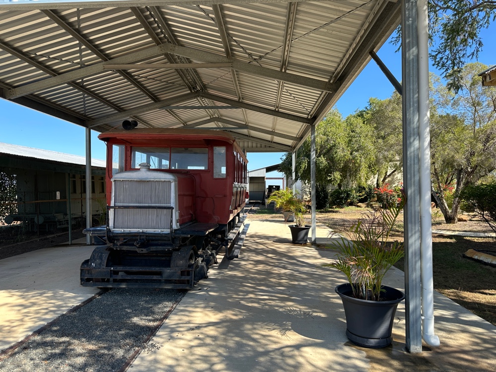
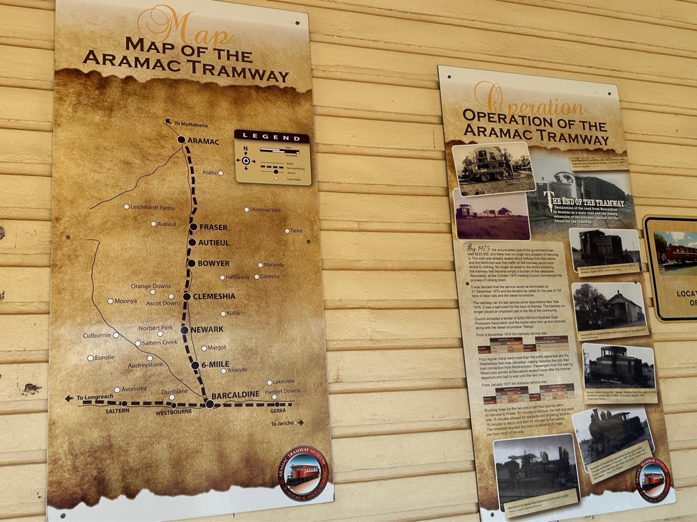
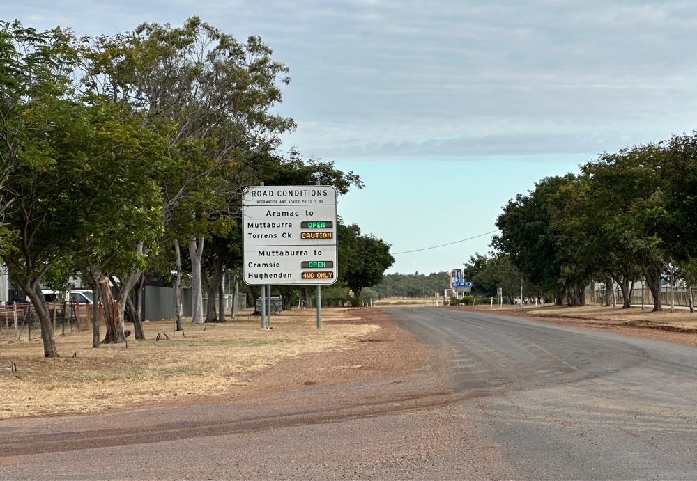
It’s reasonably common for a town to be named after a person, but this town was named after Sir Robert Ramsey Mackenzie, who carved RR Mac into a tree when he was exploring the area. Consequently another explorer named the watercourse Aramac Creek, and the town eventually became Aramac. It was originally Marathon, which is a town in the Queensland Railway song. However, it must be a different Marathon. This partly explains why I decided to visit Aramac today. When they were planning railways in Queensland, they decided to put the railway line through Barcaldine rather than Aramac. However, the good people of Aramac (which is one of the oldest towns in the area) decided to build their own branch line joining Aramac to Balcaldine, and thus the Aramac Tramway was born. It ran until 1975. I don’t think there are any other railway lines in Australia that were run by town councils.

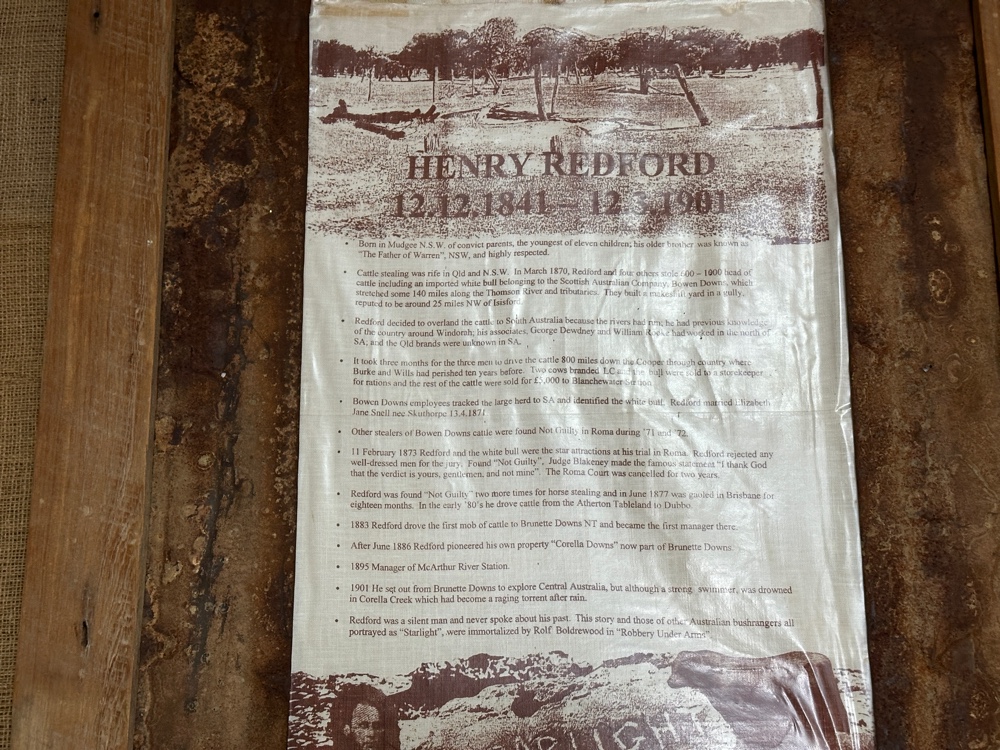
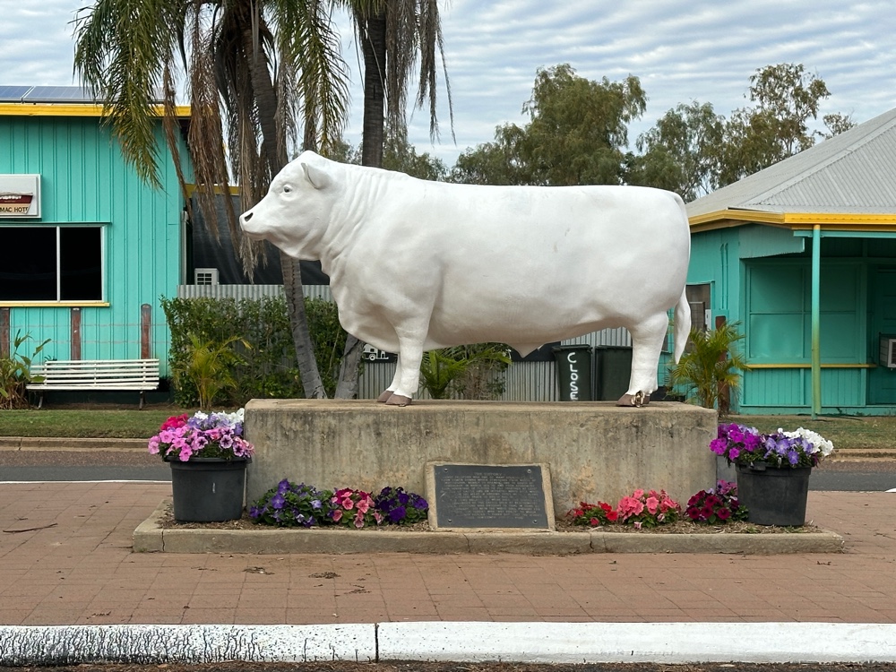
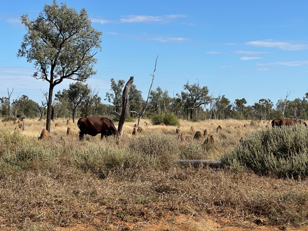
A more important reason I visited Aramac today is that this was where Captain Starlight had his adventures. He was a cattle duffer - he stole cattle, walked them to another market (in this case South Australia) and sold them there. This wasn’t a venture for the faint hearted, as it’s a very long distance, through desert. However, that year there had been exceptional rains in the area, and it worked. Or it would have, except that one of the 1000 cattle stolen was a prize white bull specially bought from England for 500 pounds. White bulls were quite unusual (one might say unique), and it was traced. When Captain Starlight was tried (in Roma), he refused to have anyone who was well dressed on the jury, and the jury decided he was innocent. The judge said “Thank god, gentlemen, that verdict is yours and not mine”. The court in Roma was adjourned for two years after this. In his subsequent career as a cattle duffer, he was later acquitted of two other charges, but was finally convicted on a third occasion. He is quite famous as his exploits were recorded in “Robbery under Arms” a fairly popular Australian book. It’s thought that one reason he was acquitted was that he’d developed a new droving route.

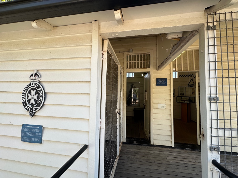
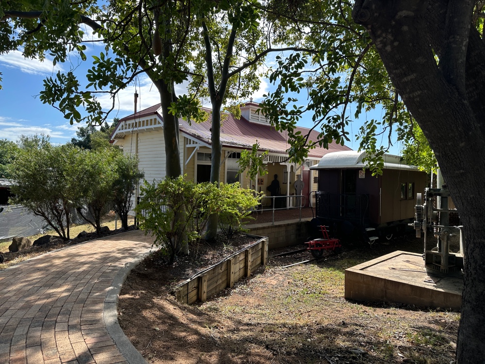
While I was in Aramac I visited the library museum and the tramway museum to find out more about these.

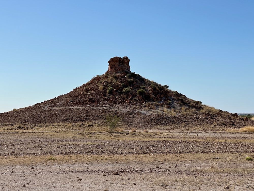
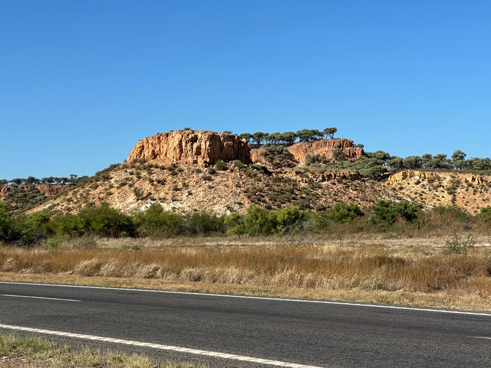
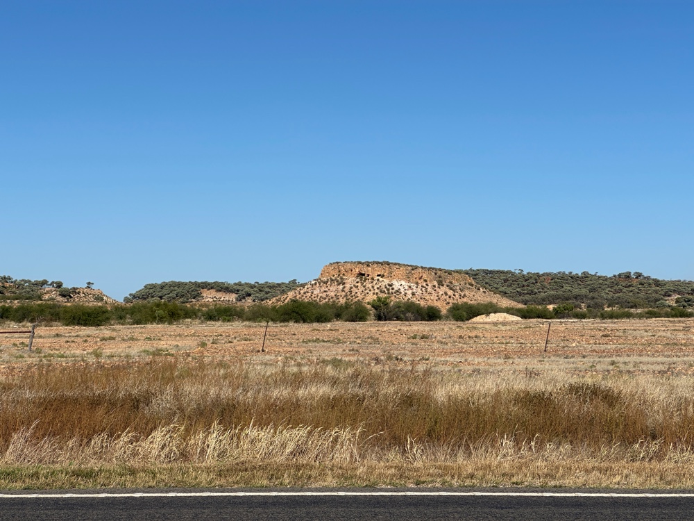
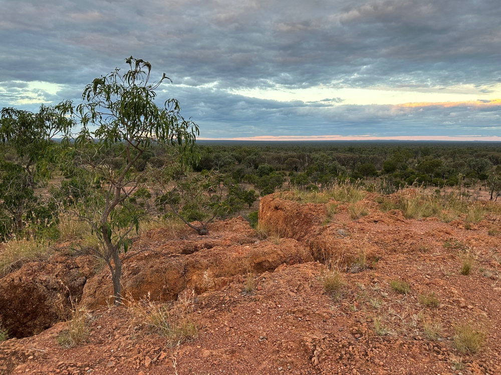
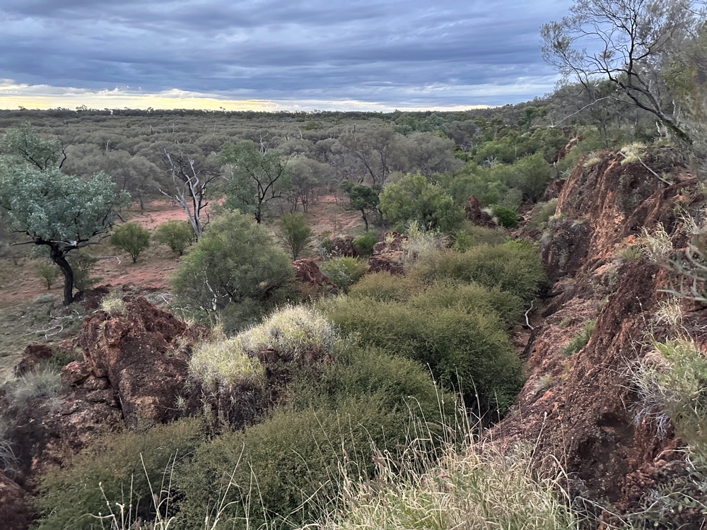
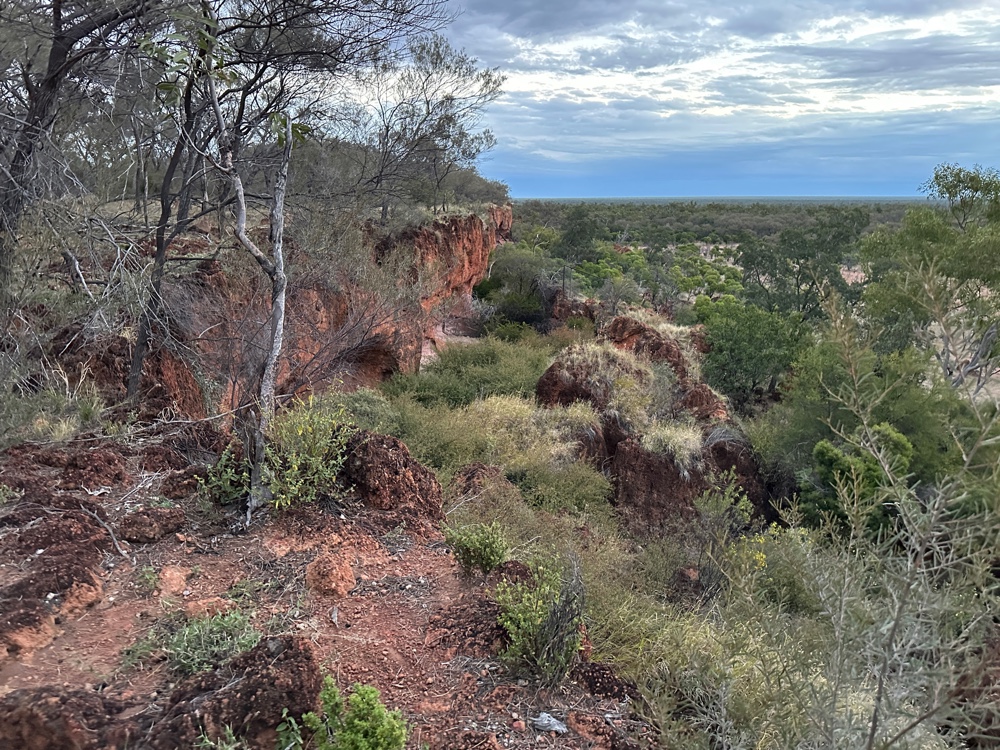
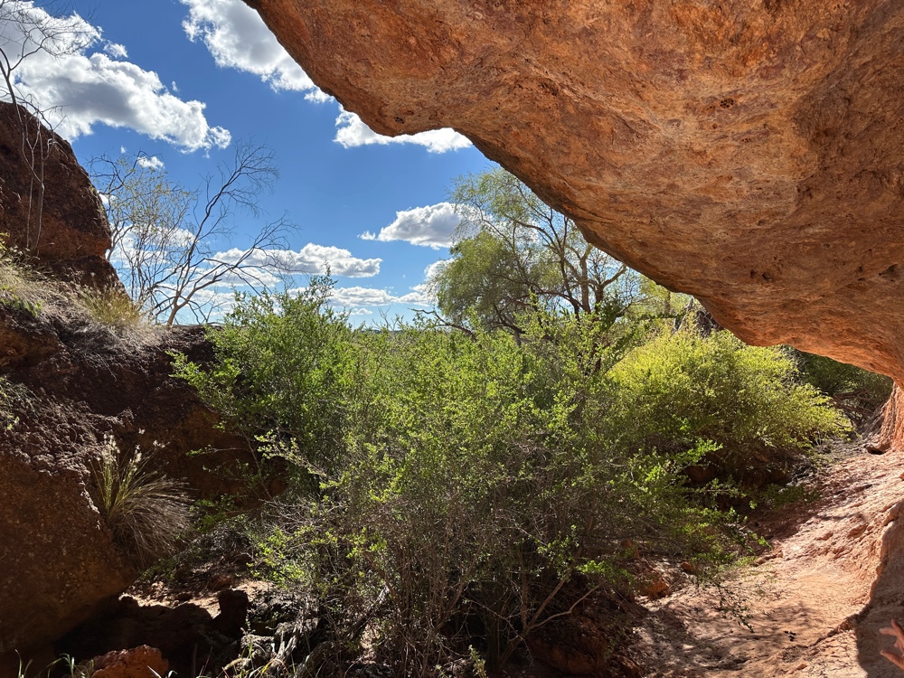
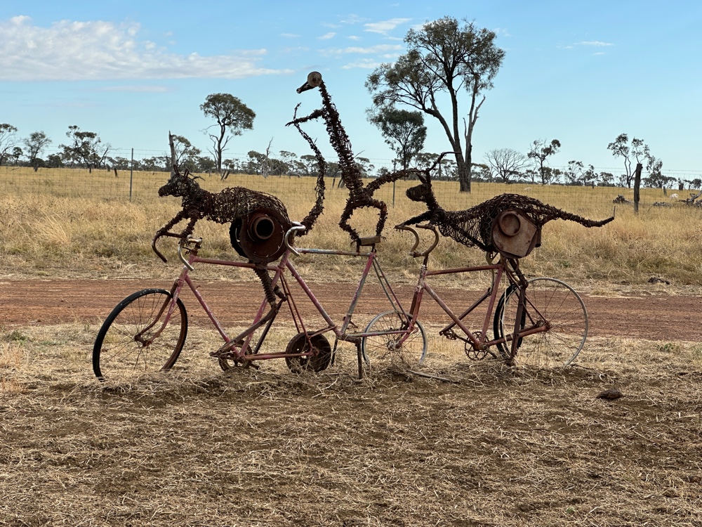
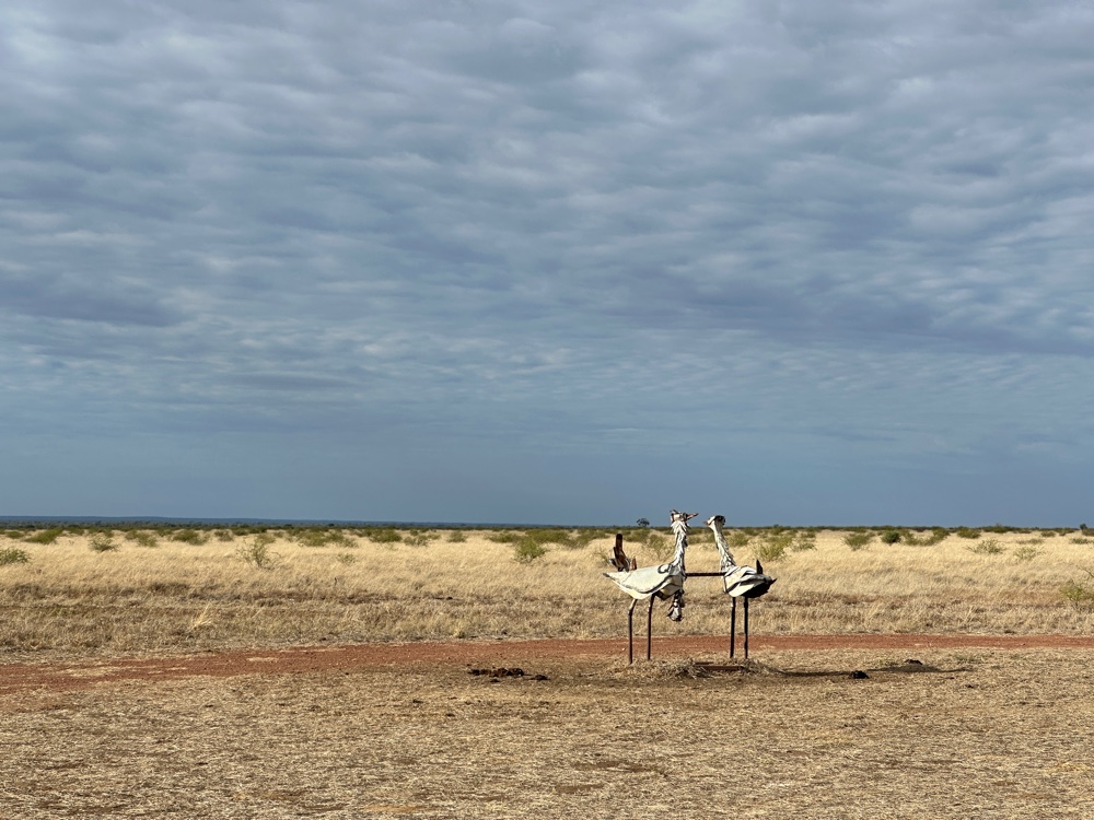
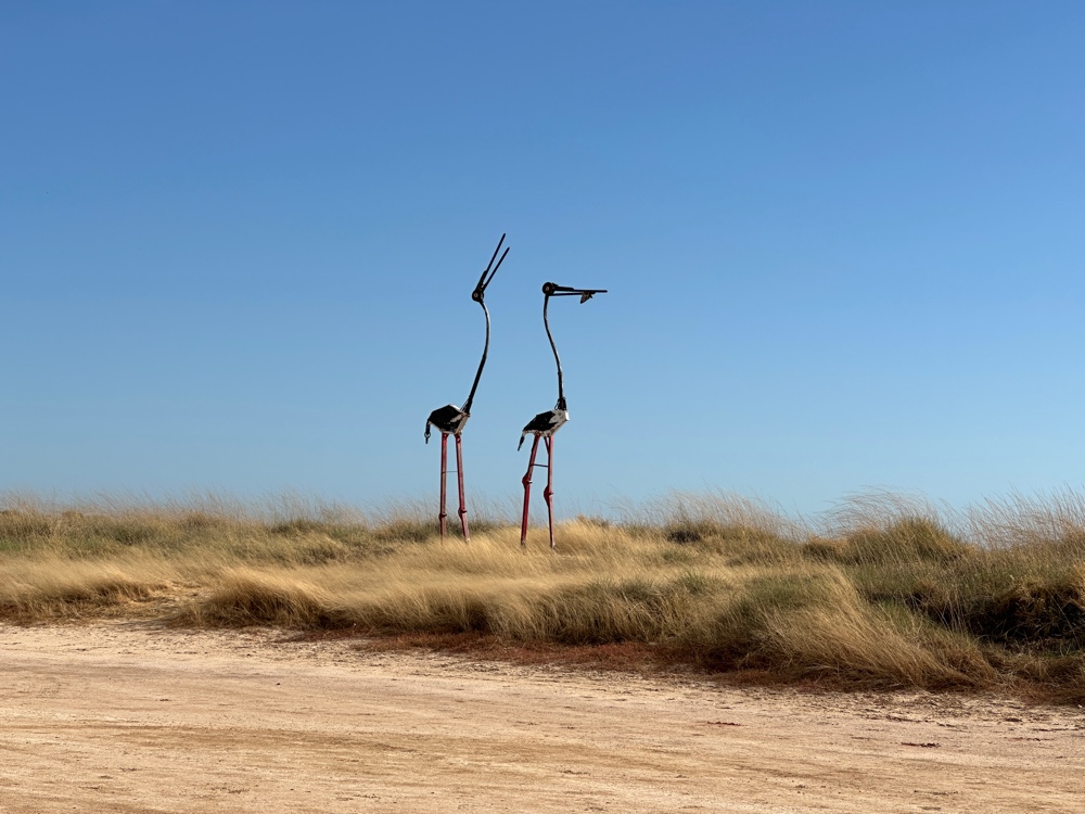
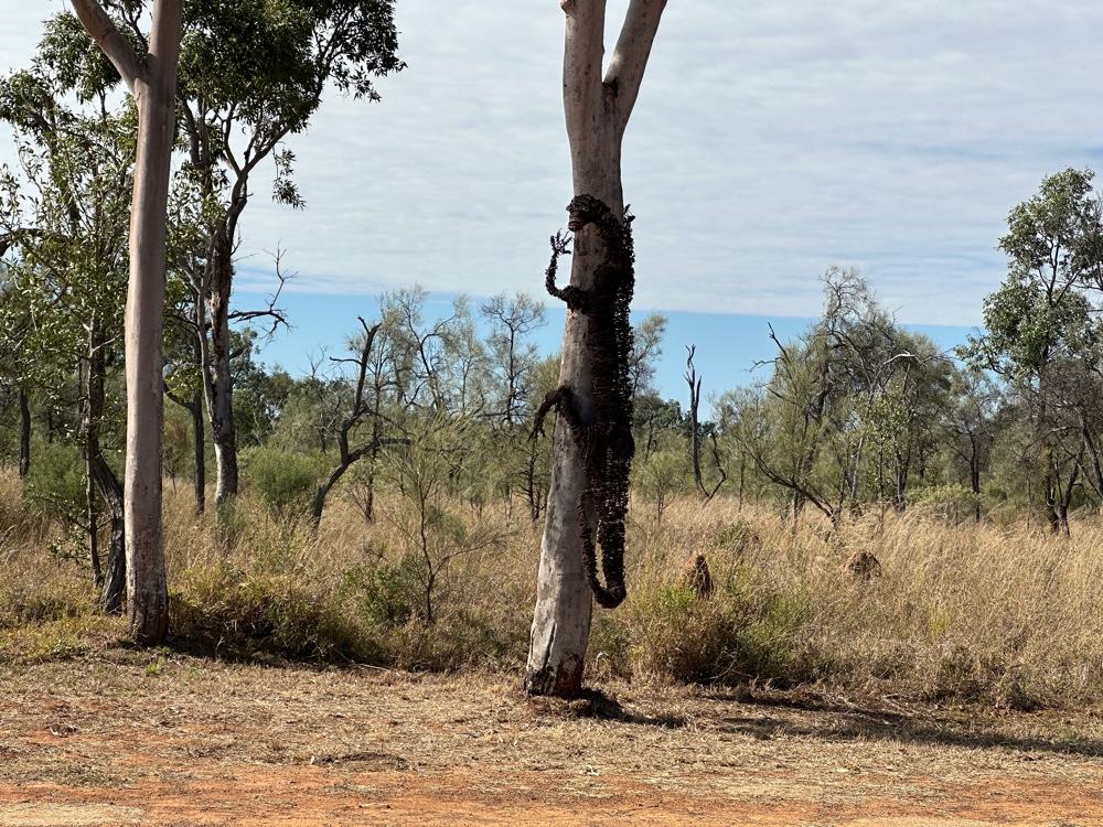
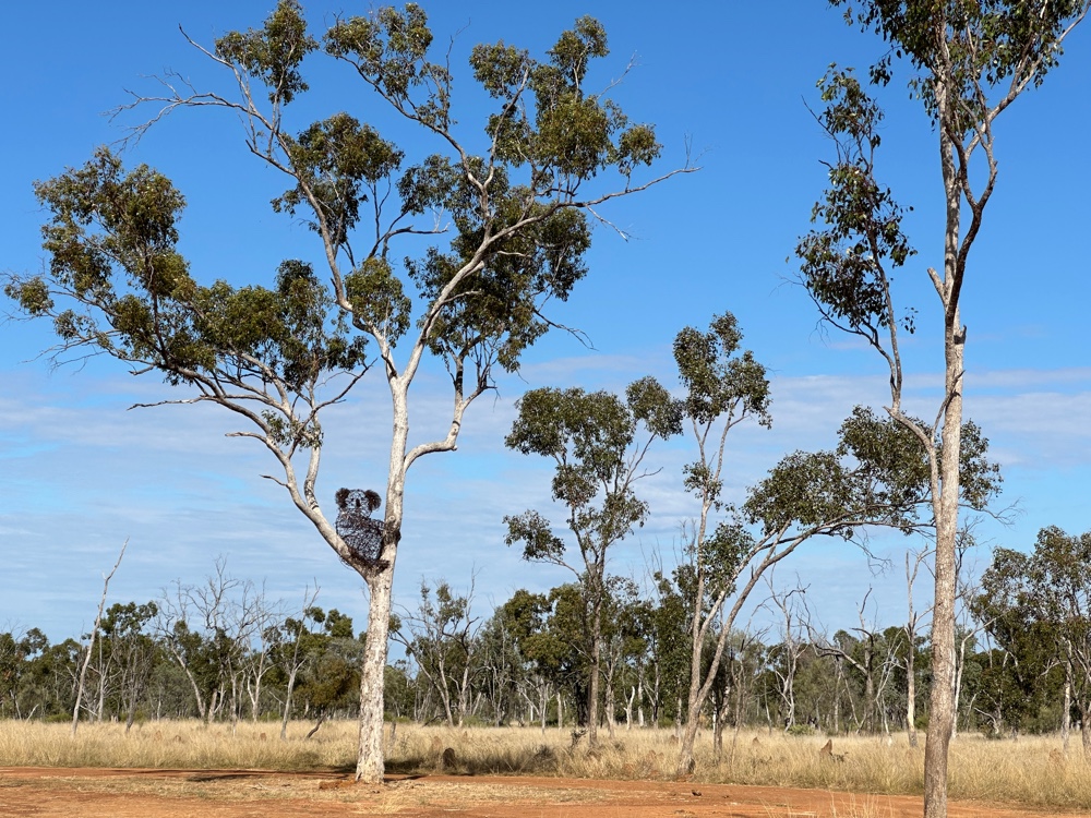
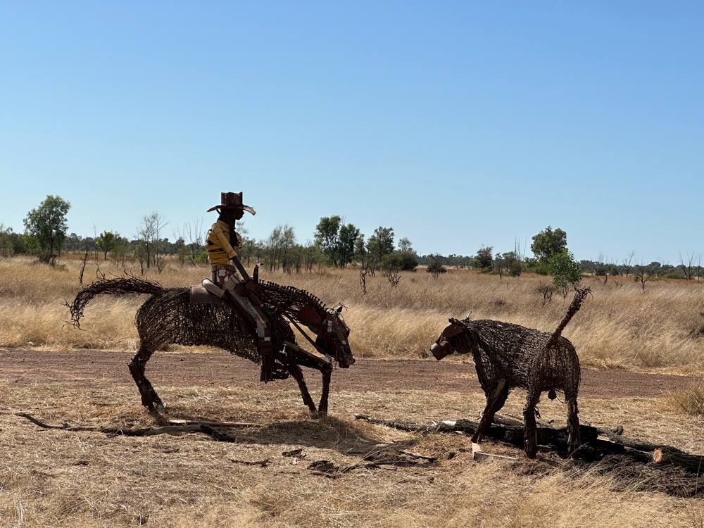
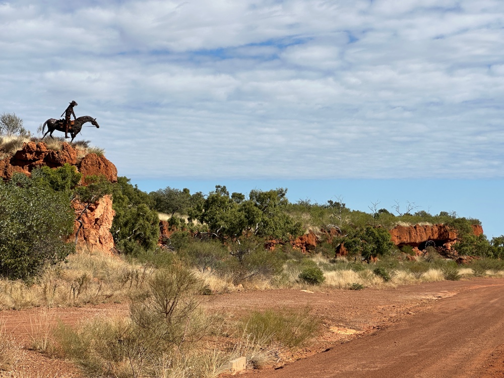
However, the other reason I visited Aramac was to see the 200km sculpture loop. This was fantastic! Milynda Rogers has created 40 sculptures and placed them along three roads, forming a triangle. Most of the sculptures are impeccably located and beautifully executed. They enhance a scenic drive. Only one of the roads is paved, and the recent rains have made short sections of the dirt roads somewhat challenging to drive, as the churned up mud has solidified. But it was still very worthwhile.


Emerald to Barcaldine

Before I left Emerald this morning, I visited the Big Easel. It’s an easel twenty metres high, with the largest reproduction of a Van Gogh painting in the world. You have to ask why? Evidently Emerald used to be the centre for sunflower production in Australia, and the painting is one of his famous sunflower paintings. I also visited the Emerald Railway Station which was built in 1900 and is quite pretty. I got a pie from the shop that advertises itself as making the best pies in Central Queensland. It was a great pie.

My journey today from Emerald to Barcaldine was quite different from the past few days. It was along the Tropic of Capricorn, a road suitably named the Capricorn highway. So one side of the road was in the subtropics, while the other was in the tropics. I couldn’t tell the difference. 

This road was much more populated. Emerald is the largest city in the central highlands and there’s a large dam nearby which allows the area to be irrigated, and to grow orchards and other crops including cotton. Not far from Emerald are the central gem fields, one of the largest producers of sapphires in the world. There are plenty of places where anyone can go fossicking, and there is a lot of tourist infrastructure including campgrounds to support this. But there are a number of other small towns further along the way - one called Alpha where I got a really nice smoothie, and one called Bogantungan which is somewhat infamous. Bogantungan features prominently in the Queensland railway line song. However, there was also a train crash where the bridge over the river had disappeared because of a flood just before the train tried to cross over. This happened only a year after the song was written. The train still goes through these towns but they’re too small for it to stop at either of them.

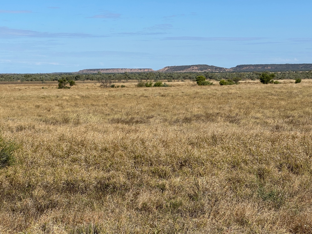
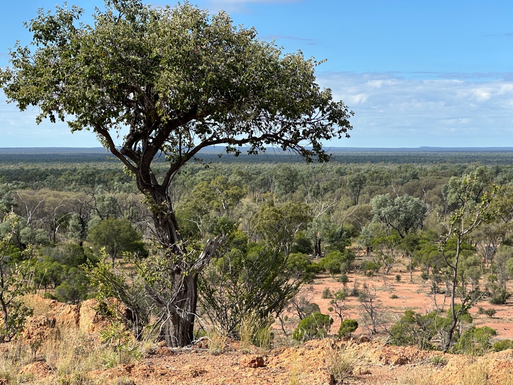
I was also going west, toward desert, rather than through country that had similar weather conditions. The Great Dividing Range was gradually disappearing behind me. For a long time, I was going through fairly flat country with a range in the distance. About 130kms from Barcaldine, there was thirty kilometres of windy road to negotiate. Just about at the end, there was a notice Great Dividing Range 444 metres - similar to others I’ve seen which indicate that you’re at the top of the range. A few metres further on, a sign told me that I was now in the Lake Eyre catchment. I’d just crossed the continental divide - only 100kms from Barcaldine! That’s a lot further from the coast than I would have thought.

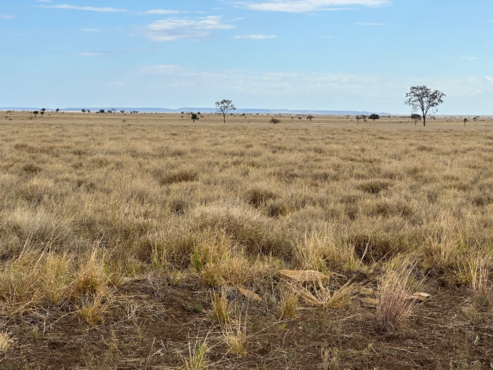
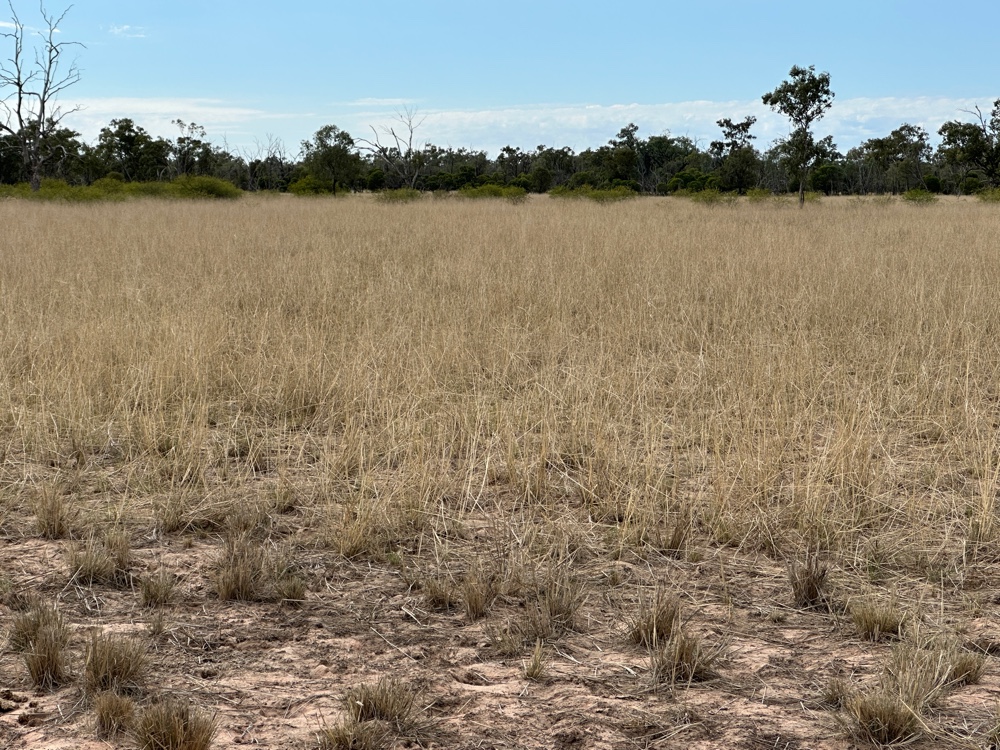
From there on the land was absolutely flat. It still had trees and grass - it’s mainly grassland, and it’s pretty, but it’s definitely flat.

The Queensland roads people think that drivers travelling along this highway are prone to fatigue, so they have a trivial quiz along the road, and suggest that you play trivia questions as you travel it. 

At last I reached Barcaldine, found my caravan park and settled in.

Tuesday, 30 June 2026

Nogoa River to Emerald

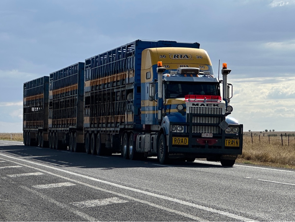
I packed up early today, and was really glad I had when it started raining before I’d reached the gate to the park, which is only a few kilometres away. The road to the park is about 14kms, then it joins the Cungelella Road which is 65kms long and has about six stations on it. There’s only one more station after the park road leaves it. So I was somewhat surprised to watch a road train pass in front of me as I neared the intersection. As it had three trailers, and you tend to stay in the centre of any dirt road, there was no way I was going to be passing it for the next sixty kilometres, so I stayed well behind and enjoyed the view. There wasn’t much dust because of the rain. When we reached the development road, there was another road train which had stopped just before the intersection, and my road train stopped behind it. Obviously the Mount Vexation Station was destocking. Both road trains were full. They must have started work really early to get all the stock on. I’d left the campground by 8:00am (so it wasn’t much later), and sunrise was at 6:52am. They’d be stopping often to keep the cattle in good condition.

I realised that the developmental road was in much poorer condition than Cungelella Road. Not that the developmental road was at all bad, but the Cungelella Road has been really smooth, with no corrugations or rocks.

My journey back to Springsure was uneventful, although it was nice to be driving through such pleasant surroundings another time. When I reached Springsure, I went back to Staircase Range to find the turnoff to the place where a Chinese road gang had hand cut a road cutting in the 1800s. Then I stopped at the Virgin Rock viewing area on my way to Emerald. Evidently the Virgin Rock looked just like a picture of the Virgin Mary holding her child to the first Europeans here, but it’s eroded a lot since then, so it’s difficult to see anything. The Eclipse lookout I visited a few days ago is just above it and it was interesting to see where I’d been from a different perspective.

Emerald is quite a big town, so I spent the afternoon resupplying stuff, washing clothes and generally getting ready for the next part of the trip. It’s only 10kms from the Tropic of Capricorn, so I’m now in the tropics. For the next few days I’ll be travelling along the Tropic of Capricorn and the Capricorn Highway.

I decided to plan this trip so I was driving no more than four hours a day, and I like the flexibility this gives me. I can decide to stay in a place and see more the next morning, or stop for some time on the way, or get somewhere early and spend more time there.

Nogoa River Campground

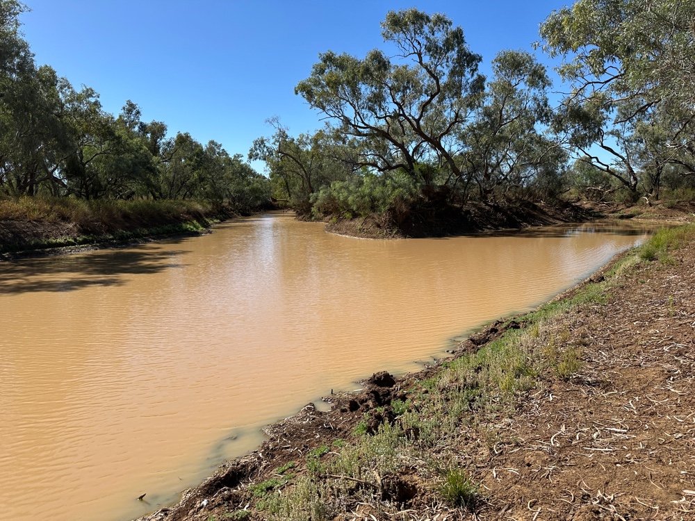
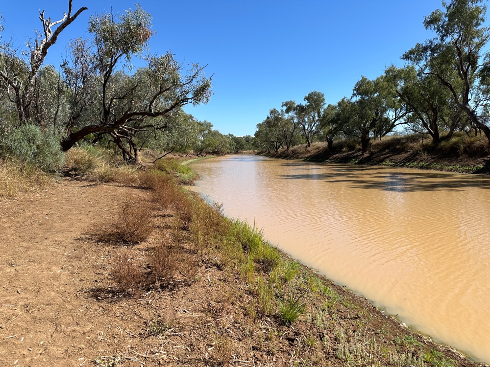
The Great Artesian Basin is fed partly by the Carnarvon Gorge and the escarpments because they’re a porous sandstone. There are also springs along the escarpment and two of them - the Belinda Spring and the Mitchell Spring - feed the Louisa Creek which meets the Nogoa River at the campground. The river goes on to become part of the Fitzroy River which ends up flowing into the ocean near Rockhampton. These springs provide 4 million litres of water per day to the river, and the Belinda Spring is the greatest spring in Queensland. The Louisa Creek flows over a four metre thick deposit of peat, forming the only peat bog in Queensland, so this area is pretty special.


The locals in the Ute yesterday said that the Mitchell spring has stopped running these days.


After the river crossing, the road goes on to the springs and a couple of climbs to the top of the escarpment, so you can see the whole area. However, I didn’t do this. Areas that are added to national parks, like this one, are usually old properties that the government has bought when they came up for sale. Often they’re a bit decrepit - places that retain natural habitat tend not to have been changed much and are often on marginal farmland which is difficult to earn a living from. The campground is near a house that was probably the homestead. I walked there, and it was very small and run down. I took the path to the river from the house. There was a pumping station on the way.


I then walked up to the top of the rocks around the campground and on the way encountered another monument to major mitchell (there is one at the entrance to the campground). This one said that during his tropical expedition he passed through this valley twice. He discovered the Mitchell spring, and they were desperate for water at the time, so I guess he decided to come back this way because of it. Although we’re not in the tropics here, the Tropic of Capricorn is about a hundred kilometres away, so we’re very close to the tropics.

Not long after I’d finished my exploration of the surroundings of the campground, the first new campers arrived. They had a trailer tent. Then came two more cars with caravans, a camping truck (which has TWO folding tents on top), and a car with a trailer van. So tonight we have 10 vehicles! 


Springsure to Nogoa River

Today I’m really in outback Australia. Three hours driving with no settlements at all between Springsure and my campsite at Nogoa River. I started out along Dawson Development Road (a development road is a sure sign of outback - Queensland has a number of development roads in remote areas), which was paved for the first 60km, but was then dirt for the rest of the way. I saw several road trains going the other way as well as a couple of cars, one with an enormous caravan, but that was it. I also passed two primary schools (one was Tresswell, which says it’s open but has no enrolments, and appears to have last been operational in 2020 with 4 pupils, and I can’t find the other), but absolutely nothing else except the occasional cattle station. 


Once I  turned off the development road, I only saw the occasional station and cattle on the road. 


The country was sweeping plains going towards the escarpment that is the continuation of the Carnarvon Gorge. At times I couldn’t see a single manmade landmark.


Nogoa River is part of the Carnarvon National Park and it’s about two hundred kilometres from where I stayed at the gorge, but I had travelled the shortest road distance to get there!


Once I arrived, I had the entire campground to myself for about five minutes. Then a ute with three young people arrived from the other direction. They were locals, and they were very surprised to see me here. They asked me how I found out about such a remote spot. They had been down to the end of the park road, looking at the views. They walked to the river and then headed home.


Just after the campground there’s a river crossing, so I got on my bathers and walked across it to see how easy it was. I haven’t done any creek crossings, and this one was up to my knees. I know my car can easily tackle such things, but I haven’t done one before, so I don’t intend to do it this time.


Later on a convoy of two caravans, one car with a trailer and a car with a rooftop tent arrived. They have kids, so there’s a fair number of people here tonight!


Saturday, 27 June 2026

Springsure

I woke up to rain this morning. It’s not much fun camping in rain, especially packing up from camping in rain. However, since I didn’t bring a tent, and am camping in my car, I didn’t have a soggy tent to pack!

I had intended to do the Mickey Creek walk this morning, but I decided to just pack up and go. Everything was a bit muddy, especially my doormat and my shoes. I scraped off most of the mud from my doormat, rolled it up and used one of my sheets to bundle it into. I have two sets of sheets.

I visited Rolleston on the way, but it didn’t look very promising, especially as it was still raining. The only food vendor appeared to be a coffee cart, where I got a hot chocolate and continued on. 

I arrived early in Springsure so I decided to visit Minerva Hills National Park. This can only be visited in a high clearance 4WD. Near the entrance I spied a hill of xanthorrhoea! The park has several lookouts - Springsure Lookout, Eclipse Gap Lookout, Skyline Lookout as well as the Fred Gorge Lookout. The Eclipse Gap Lookout was the most interesting lookout from my perspective, as from here you can see the Springsure Volcano in its entirety, the plug and the hills that were the edge of the volcano. This was a very active volcano, spreading basalt up to fifty layers deep for long distances. Towards the end, trachyte oozed out, forming the black rocks on the Mountain Zamia plateau, where the lookouts are. There was a fair walk to the last lookout through a variety of vegetation. The vegetation in the basalt valleys is on very rich soil while the lighter volcanic rocks form fairly infertile soil where there was a lot of spinefex grass. I was glad I had my car because it was exactly the type of vehicle needed in this park. 

On my way back into town I saw a sign “historic marker - 12km to Wills Grave”. I immediately thought of the wrong Wills, and went down the road. After 12km, there was a sign on a side road “historic marker - 21km to Wills Grave”, so I went there. As you’d expect, at this point there was another side road, with another sign “historic marker - 1.5 km to Wills Grave car park”. Then “historic marker - 800m walk to Wills Graves”. The graves recorded that a party of 19 people had been killed by aborigines in 1861 - 10 men, 2 women and 7 children. 

I looked it up. As I expected, the reprisals were rather indiscriminate. It was the largest killing of European people in the frontier wars in Queensland. I don’t know whether it was the largest massacre of aboriginal people in those wars.

https://en.wikipedia.org/wiki/Cullin-la-ringo_massacre

Thursday, 25 June 2026

Carnarvon Gorge Day 2

I had a fairly lazy day today. I was going to walk to the top of Boolimba Bluff, the top of the cliffs nearest the visitors centre, but after walking from the end of the car park and crossing the creek I decided that it was all too much! So I walked along the nature trail that runs along the creek and crosses it several times.

Then I went to the rock pool. You’re supposed to be able to swim in it but although the setting was gorgeous, the rock pool itself was uninviting. The edges were straight down more than a metre, so you’d be covered in dirt getting in or out. Platypuses live here. As they’re nocturnal, you need to be there at dusk to see them.

There are four places to stay at Carnarvon Gorge itself. There’s a campground in the national park. Its ablution block is currently out of order, so no one can stay there. Just outside the park there’s three other places - the Carnarvon Gorge Wilderness Lodge which is very expensive, the Big 4 Carnarvon Gorge Holiday Park, and Sandstone Park. Otherwise you’d need to stay more than 100kms away (Injune is 180kms but Rolleston is closer). Both the wilderness lodge and the holiday park have cabins, but they were all full when I tried to book, so I had to camp in my car at either the holiday park or Sandstone Park. The holiday park and the wilderness lodge are both down in the hollow whereas Sandstone Park is on what might be a mesa, and every site has spectacular views. The holiday park has much better facilities, including a cafe/restaurant where I got lunch today. The caravans are all crammed in together. My site here is about the size of a small house block. 

Carnarvon Gorge Main Walk


The Carnarvon gorge is part of the Great Dividing Range that starts in New Guinea, crosses the Torres Strait (it’s submerged there and the Torres Strait islands are really peaks of the range. Then it goes along the east coast of Australia until it reaches Victoria, where it turns right and continues until about the South Australian border. In some places it is right on the coastline, and at others it goes a fair way inland. It’s a very old range so it’s never very high, but there are many places where sandstone parts of it are very jagged forming escarpments and gorges. As I was driving from Roma yesterday, I was pretty surprised to see a sign saying I was crossing the Great Dividing Range because I didn’t know that it came so far inland here.


Carnarvon Gorge is a sandstone gorge, with high white cliffs on both sides. The gorge itself is over 30km long, but there are escarpments that continue for a great distance. The drive from Roma was very interesting because it was hilly and bits of escarpment kept on coming into view. Because it’s part of the Great Dividing Range, the park gets a reasonable amount of rain and has some unique microclimates. As a result, some things are endemic to the park, and there are some plants in the park that only otherwise occur in small patches on the coast.

To the south of the park, all the rivers form the most northerly part of the Murray-Darling system, while those to the north and east drain to the coast. The park has a number of sections which is why the great walk can be so long and still be in the park.


The gorge has a number of walks, most of which are branches from the Main Walking Track. There’s also a Great Walk that takes six or seven days.


Today I packed up my car and drove it to the visitors car park to begin walking up the main walking track. I decided to go as far as the Art Gallery, and turn back there to walk all the branches to that point except the walk to Boolimba Bluff.


The main walking track was really beautiful, with the Carnarvon Creek running through it, and the vegetation changing between eucalypts, calistamins, palms and tree ferns. The path uses steppingstones to cross the creek at least five times during my walk. I kept on seeing the sheer white sandstone cliffs on both sides.


The side branches are the highlights. The art gallery contains over 2000 engravings, ochre stencils and freehand paintings including some of the best examples of stencil art in Australia. Unfortunately, Wards Canyon was closed due to rock falls, and I suspect it won’t reopen. It includes the world’s largest fern. The Ampitheatre is more difficult to get into, with a series of metal steps up to it that you need to go down backwards, but once you enter through a slot canyon you are surrounded by sheer walls letting in a circle of light from the top.


The last branch I visited was Moss Garden, a tree fern gully with the bottom of the sheer walls dripping with mosses. There were also three waterfalls.


I was very happy I visited.


Wednesday, 24 June 2026

Roma to Carnarvon Gorge

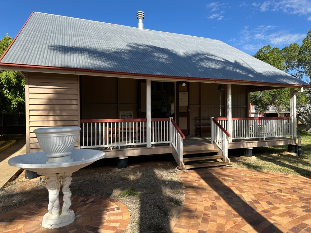
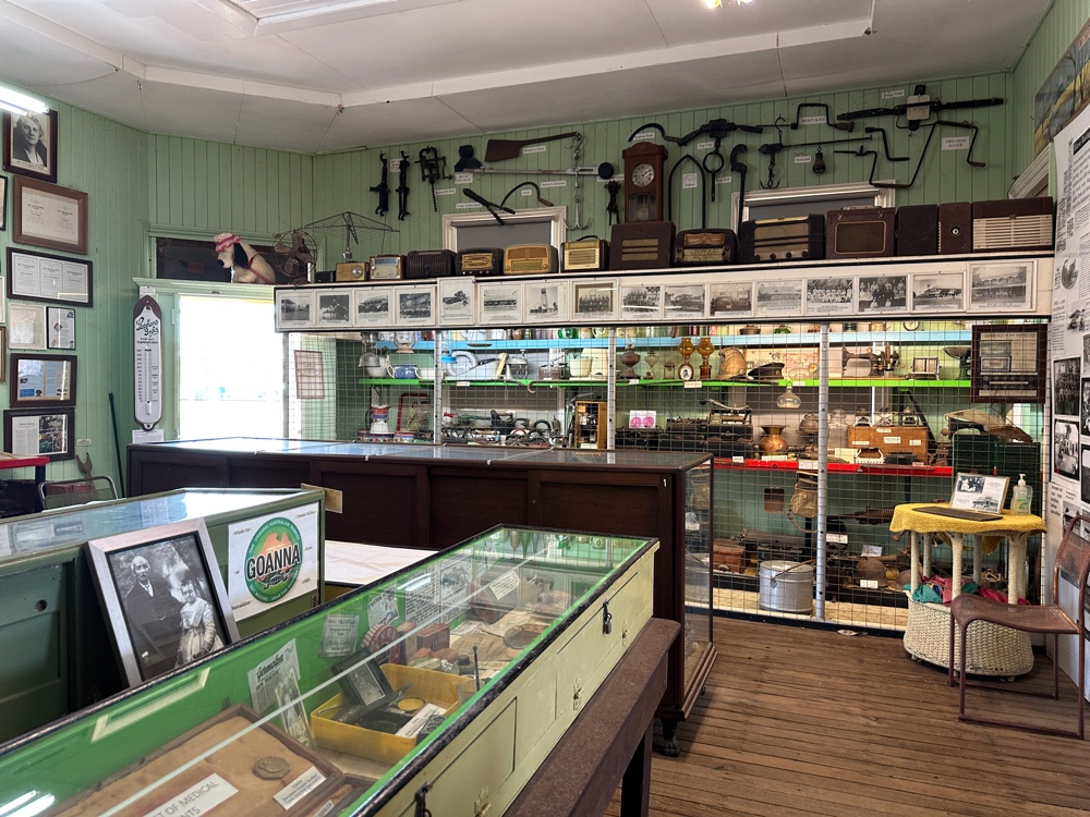
Today I left Roma and stopped for lunch at Injune. Its population is just over 400, so you would think that there wouldn’t be much there. It has two streets, double the number of some of the towns I’ve been through on this trip. It has an aged care home, a cafe, a roadhouse (so there’s two places to go for lunch). They’re furnishing a museum. In short, Injune is going places. 
I’ve been going along the Carnarvon Highway, which is also part of the Great Inland Way. I’d never heard of this name, but it goes from Sydney to Cooktown and has a link to Brisbane. I’ve evidently been following it ever since I left Dubbo. There’s a fair bit of traffic on it - a lot of grey nomads, and a lot of road trains. At least two thirds of the road trains are carrying cattle. I guess everyone is destocking in preparation for the coming drought we’ll get next year with the El Niño. The BOM has predicted that the entire east of Australia won’t have much rain for at least the next six months. I watched the road trains going through Injune at lunchtime today. Most of them had three trailers, and the occasional one had four. 

The grey nomads are having problems. Each year there’s the Birdsville Bash which has about 20000 people attending. They’ve cancelled it for this year - the Simpson desert is impassable because of all the rain, and Birdsville is still going to be too wet to hold it in August. Evidently many grey nomads think that maybe they can still go, and so they’re wandering around the parts of western Queensland that aren’t too wet. At least that’s what people are telling me. 

So Injune was full of people. In fact the whole area is full. I had a hard time booking anything in or near Carnarvon Gorge in the way of accommodation, so I’ve fallen back on camping in my car while I’m here - and even the campgrounds are all full. This one only has the most basic facilities - no showers, portaloos, no potable water… But every site has astounding views of the escarpments (and I have one of the best). It’s just stunning.

The trip along the road was really nice, with occasional views of white forested escarpments and lightly treed paddocks with cattle grazing. It got better the nearer I cane to the park. I got my site at my campground, which is outside the park, and then went to the park visitor’s centre. I eventually found a ranger, who gave me incorrect information that where I’m staying for the last two nights was closed. But it’s another part that’s closed (thank goodness, I don’t know where I’d be able to go if it was).

I came back to the campground, set up, made dinner, and am now about to go to bed. Good night!

Tuesday, 23 June 2026

The Maranoa

Major Mitchell was one of the explorers we all are told about when we learn about Australian history in primary school. He wandered through the place where current day St. George stands on St. George’s day, and found a natural bridge over the river here. He suggested that an outpost be founded here, and it was. The natural bridge is still there - more of a ford - and I visited it and the walking trees this morning (the trees look like they’re walking because this section of the river floods regularly and the soil from around the roots gets washed away.


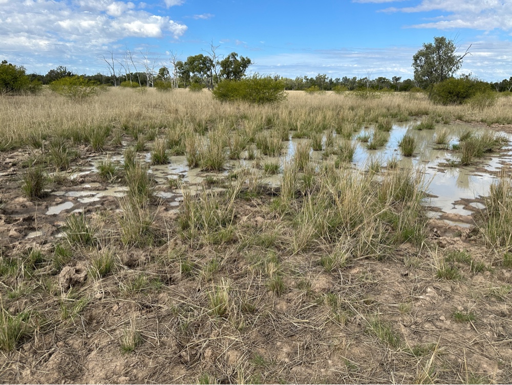
Soon after leaving St. George, I saw a sign that I was entering the Maranoa - yet another area often referred to in droving songs, often coupled with the word “swampy”. I find it hard to think of this area of the world as swampy, or even wetland, because for most of the time it’s not very wet. All the places I’ve been going through do get floods, but more often they get droughts. There’s recently been a lot of rain throughout the whole of Queensland that I’m going through, but the roads I’m using are no longer flooded, and the rivers are at normal levels even though there’s wet ground everywhere, and the grass is all green. However every dip in the road seems to be named something swamp - paradise swamp, green swamp… But they’re all dry at the moment.


Towns are becoming sparse and I only passed one today on my way to Roma. Surat has a museum in the old Cobb and Co changing station. This was the place where the last Cobb and Co carriage service left in 1924. The museum was well worth visiting. I wandered along the Balonne River there. It also has a nice walk along the river, and some interesting cultural places being built.


I arrived in Roma and visited The Big Rigg. This is a tribute to the oil and gas industry, which started in Roma in Australia. Roma only gets 600mm of rain a year (probably similar to the amount of rain that every town I’ve been through gets), and it’s very sporadic. They don’t have a river, only a small creek, so water catchment is out. That leaves drilling a bore. So that’s what they did. 

After several unsuccessful attempts, suddenly a bore struck gas and some unusable water which jetted high into the air. They decided to make a good thing out of their bad luck (they WERE drilling for water), and stored the gas and plumbed the town for gas lighting. With great fanfare, the lights were turned on, only to go off ten nights later.

The search for water continued. Someone also decided to search for oil and gas. They struck gas with another bore, which was unfortunately too close to a steam boiler. The gas caught fire, the boiler exploded and for seven weeks 18 meter gas flames gushed from the bore. The railway ran tour trains from Brisbane for people keen to see the flames.

After that, Roma became the centre of the Australian oil and gas industry. They did eventually drill bores that delivered only water. The Big Rigg is a fantastic exhibition, and I got in for half price since it’s half price until August.

Roma’s other claim to fame is the bottle trees. These are endemic to Queensland and are not related to boabs. There are two types, and the town has planted them as street trees, so they’re everywhere.

Remember that they’re on a tiny creek? It flooded three times in two years in 2010 - 2012. The floods were over 8 metres and damaged 400 houses in Roma.

Monday, 22 June 2026

The Lower Balonne Floodplain

The great artesian basin is the world’s largest and deepest freshwater aquifer. Some of the water that comes from it is estimated to be 4 million years old. It’s the only way Australia has settlements in many places since we have so much desert. Unfortunately, Europeans created a lot of uncapped bores which have been gradually reducing the amount of fresh water stored.

Lightning Ridge has an artisan bore pool that anyone can use anytime - as long as it’s not when it’s being cleaned between 10am and 12 noon every day. This morning I went to the bore pool before 6am when it was pitch dark (remember, it’s winter solstice here) and watched dawn break. It was only 7C, but the bore is about 41C, so it was really nice in the pool, gazing up at the stars. The pool was like Dante’s inferno with the lights shining through the huge clouds of steam rising from the pool. It was a great experience.


After that I visited the Chambers of the Black Hand sculptures. There are over 900 sculptures decorating the walls of a historic opal mine. It’s pretty good. It’s very derivative and includes the last supper, superman and other comic heros, various Egyptian figures, Snow White and the seven dwarves on a dinosaur… think madam Trudeau in sandstone rather than wax. It has awe inspiring quantity even if the quanlity isn’t quite as good.


I visited the giant emu (Stanley) for the last time and went northward, crossing into Queensland. My destination was St. George, and I went through Hebel and Dirranbandi on the way. Hebel is at an T intersection, and I felt like I was in outback Australia. The pub was on one side of the road, the general store on the other, and the accomodation on the top of the T was dongas. The road was very wide and all these huge cars with enormous caravans were parked in several lines. The general store makes good pies. I don’t think there was anything else in Hebel. The road had grids at every property boundary (there aren’t many), and there were signs that there was no fencing along the road so animals could stray onto them (when did they start putting up signs about this?), so I was definitely beginning to be in the outback.


I had been looking forward to Dirranbandi, and it met my expectations. Many years ago someone was perusing the Queensland Railway Timetable, and wrote a song based on the information in it. As I understand it, everything in the song actually came from the timetable, including information behind the line “passengers have died of hunger during halts at Garradunga”, but it may be apocryphal. Anyway, “iron rations come in handy on the way to Dirranbandi” is another line from the same song, so I knew that Dirranbandi must have had a railway station at some stage. Most of the railway lines and the accompanying stations have disappeared, so I wasn’t expecting a working railway.


I was also informed that Dirranbandi has a Russian baker at the bakery who bakes a fantastic array of sweet cakes. I can report that there is a second cafe at Dirranbandi, and that the park next to the bakery has a variety of information about the area. I was interested that there are several types of vegetation communities in the area. I’d noticed this as I travelled. The coolibah/ black box woodland is dominated by these eucalypts. Then there are poplar box/leopardwood woodlands which are quite different, and definitely not eucalyptus trees. The other woodland vegetation community is ironbark (another eucalypt) stony ridges. Then there are grasslands and sand ridges vegetation communities. The reason for so many different vegetation communities is that this area is the lower Balonne floodplain, where the Balonne river divides into over 1500 km of channels and tributaries, forming 3 million hectares of wetland - the largest in the Murray-darling basin. The giant Cubbie cotton farm is at Dirranbandi, and there’s a lot of cotton grown in the area - you can see tufts of it that have fallen off trucks all along the sides of the road. The area has very intermittent rainfall so most farming is by irrigation.


After Dirranbandi I diverged from my route to visit Thallon where there are some painted grain silos. There were also huge piles of wheat under blue tarpaulins which I photographed. Unfortunately I’m having some problems with my photos, so there aren’t any here yet.


St. George was a pleasant surprise. It’s a beautiful town beside a long wide stretch of the Balonne River. The river has paths and a park along its length. I walked around the heritage trail in town, admiring the churches, hospitals, hotels and other features mentioned by the walking guide I found in my hotel room. Unfortunately the artesian baths open between 11 and 4, but not on Mondays, so I missed out on a warm soak.


Sunday, 21 June 2026

Journey to Lightning Ridge

Today I travelled from Dubbo to Lightning Ridge. It started being quite foggy, but after a while the fog cleared. By this time I was definitely going through the western plains. Not a hill to be seen, and I was in sheep and wheat country.

One of the reasons I’m taking the route I am is to see places I’ve heard of through folk music over the years. Australia has lots of songs about drovers and shearers moving from place to place. The western plains figured in several, as did Gilgandra, which I came across soon after leaving Dubbo. It’s very flat.


I came across Gulargambone shortly after leaving Gilgandra. For many years there has been a radio program called Australia All Over (also known as Maccas on a Sunday morning). The host rocked up to a country town that no one bar the inhabitants has ever heard of, and they all line up to talk to him, or tell stories or play music… People also ring in from all around Australia to report on strange stuff, like leaches. I was in Narrandera one weekend for their annual parade. Everyone in the town and for miles around seemed to be in the parade - the primary schools, the sports teams, the police, fire brigade, … That was on the Saturday. Then, bright and early on Sunday morning, when everyone should have been bleary eyed from everything on Saturday, there was macca on stage in the park with this enormous queue of people waiting to talk to him for a few seconds. This started before 7am (the show goes live at 7:30am). It was a tremendously popular show.


You may wonder what this has to do with Gulargumbone. Somehow, the town featured more often than you’d expect on the show when I used to listen to it. It also came first in NSW in the tidy towns competition in 2004.

This century quite a few towns have been painting pictures on their silos. I passed my first one for this trip at Coonamble and I didn’t see any others, although many properties had silos, and there were the massive piles of wheat covered with blue tarpaulins that you see in wheatbelts at this time of year all around Australia.


I also passed a memorial to John Oxley’s 1818 expedition. 


But the best thing I passed was the giant emu near Lightning Ridge. It’s astoundingly tall and is made out of several satellite dishes and two Volkswagens amongst other pieces of metal.


Then I arrived in Lightning Ridge. They mine black opals. I think it’s the only place in the world that has black opals, which are more impressive than any other opals. Way back when I was a child, in the middle of summer, my grandparents took me from Melbourne to Brisbane, and we visited Lightning Ridge. I had never seen a place so poor. It would have been very hot - probably over 40C. People were living in hessian tents. Someone had made their home from beer bottles. Everyone lived among mullock heaps. The roads meandered between the dwellings which were all on claims, so there were lots of holes in the ground.

Today Lightning Ridge is a proper town, with houses with fences and gardens. There are all sorts of facilities. There are some outstanding tourist attractions (one of which was voted the second best tourist attraction in Australia). It’s better than either of the other opal mining towns I’ve visited. Unfortunately, the mines here have to be braced with timbers. In Cooper Pedy the rock doesn’t need to be braced and they have lots of underground buildings, including a hotel, so the people can avoid hot summer weather. I went around the workings, and saw the Lunatic Hill open cut, which shows the rock strata and where the opals are found.


Saturday, 20 June 2026

Dubbo

Today I started my epic adventure. I went to Dubbo, which I’ve been to a number of times before although I haven’t seen any of its well known attractions, and I’m not going to this time either. I’ve also been to most of the places I passed on the way.

I went to Cowra, which has incredible Japanese connections since it had a POW camp that included a Japanese section. One night the Japanese rioted and escaped, overwhelming the Australians manning the gun emplacements, and killing several with baseball bats and knives. Over 200 Japanese died, over 100 were wounded and over 300 escaped. A war cemetery was built for them, and every Japanese soldier who died in Australia (including those shot down in Darwin) is buried there. Cowra is the site of the first Australian peace bell and they have the best Japanese garden in Australia. 

I’ve visited all these on previous occasions, but I’ve never been to the visitors centre before. It has a hologram of the POW camp which was very interesting. It mentioned that there was also a contingent of Indonesian POWs who the Dutch had convinced Australia to intern. At some stage (before the riot) Australia decided that they weren’t POWs but were political prisoners, so they were released. There were also Germans and Italians at the POW camp.

Outside the visitors centre is the Cowra rose garden.


As I arrived in Boorowa I noticed that the sign said they were home to the best merinos in Australia. Since Australian merinos are the best in the world, I don’t know why they didn’t say that they were the best anywhere. Anyway, I thought that was a pretty tall order, so I stopped at the visitors centre and asked why they were the best. I was told that the family that started merinos in Boorowa started them in Australia (wasn’t that the McArthurs I said - well they took over from the McArthurs) and still, to this day they win prizes every year for their fine merinos. Which probably means that they ARE the best in the world.
These areas are fairly hilly. This picture shows scenery typical for the area.

Parkes was also on my way to Dubbo. Usually I go to Canowindra and visit the age of fishes museum and marvel at the Devonian rocks there. So this time I went a different way, via Parkes. As I was on my way there, I wondered how it got its name. It was obviously named after Henry Parkes (generally credited with being the father of Australian federation after he gave the Tenterfield address). However, Parkes would have existed before Henry Parkes was famous. Evidently the town decided to name itself Parkes after Henry visited it in 1873. It was called Bushman before that.

Anyway, Parkes is famous partly because of its telescope and the lies of a film called “The Dish”. “The Dish” is about the first human landing on the moon and the role Australian telescopes had in it. However, the Parkes telescope wasn’t the only one involved, and, in fact the actual first footsteps on the moon were recorded by the Honeysuckle Creek telescope, a few kilometres from where I live, because the astronauts decided to jump ship early, and Honeysuckle Creek was the only telescope in transmission range at the time. That’s why the first steps are so blurry. Parkes took over about five minutes later, and because it’s much bigger, the rest of the transmission isn’t as bad. I was surprised that the Parkes telescope is in a valley. All the telescopes around home are on the tops of peaks and I thought that’s where you tried to build them. 


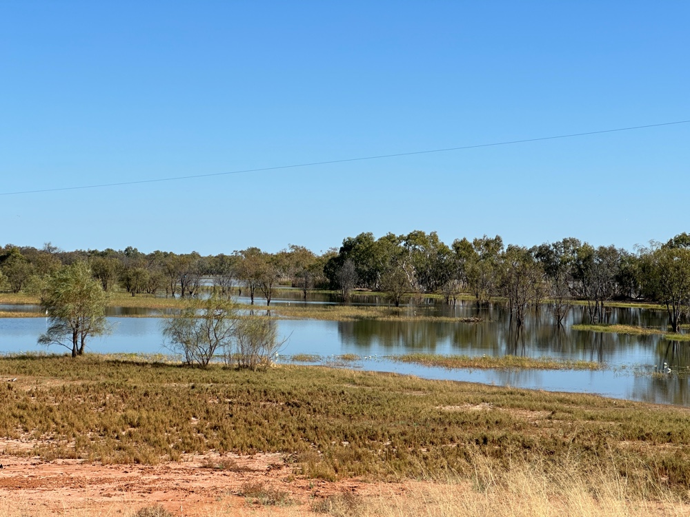
The area is pretty flat, being on the edge of the western plains. There have been a lot of recent rains and the area has a lot of water lying around. This isn’t usual.


Parkes itself is quite a large town and is on the top of the biggest hill in the area. The telescope is a radio telescope and is some kilometres out of town.


Saturday, 3 January 2026

Okinoerabujima

Today we reached Okinoerabu Island, the second most southerly of the Amami Islands, famous for its limestone caves. 


This is a tropical coral island. I went to the Shoryudo Cave. 


I was one of the last to walk down to the cave, and at the entrance, the sight of the people ahead of me gave me a good impression of the size of the cave - it’s enormous! 


It has lots of stalactites and stalagmites, and features that are sacred to the local people. 


There’s even a Tori gate in the cave to indicate a significant part of it. 


Most of the lights were plain white, but several areas of the cave had been lit in saturated colours that changed as you looked. 

Eventually we came out of the cave.


We then visited the town, 


where they were having the Okinoerabu Agricultural Festival.


In the afternoon, we visited the limestone coast at the Fucha Blowhole, which reminded me of Christmas Island. 


There were several blowholes, but we weren’t there at the right time for them to blow. 


We then visited Japan’s most majestic banyan tree at the local school.

As we prepared to leave, the islanders danced for us.