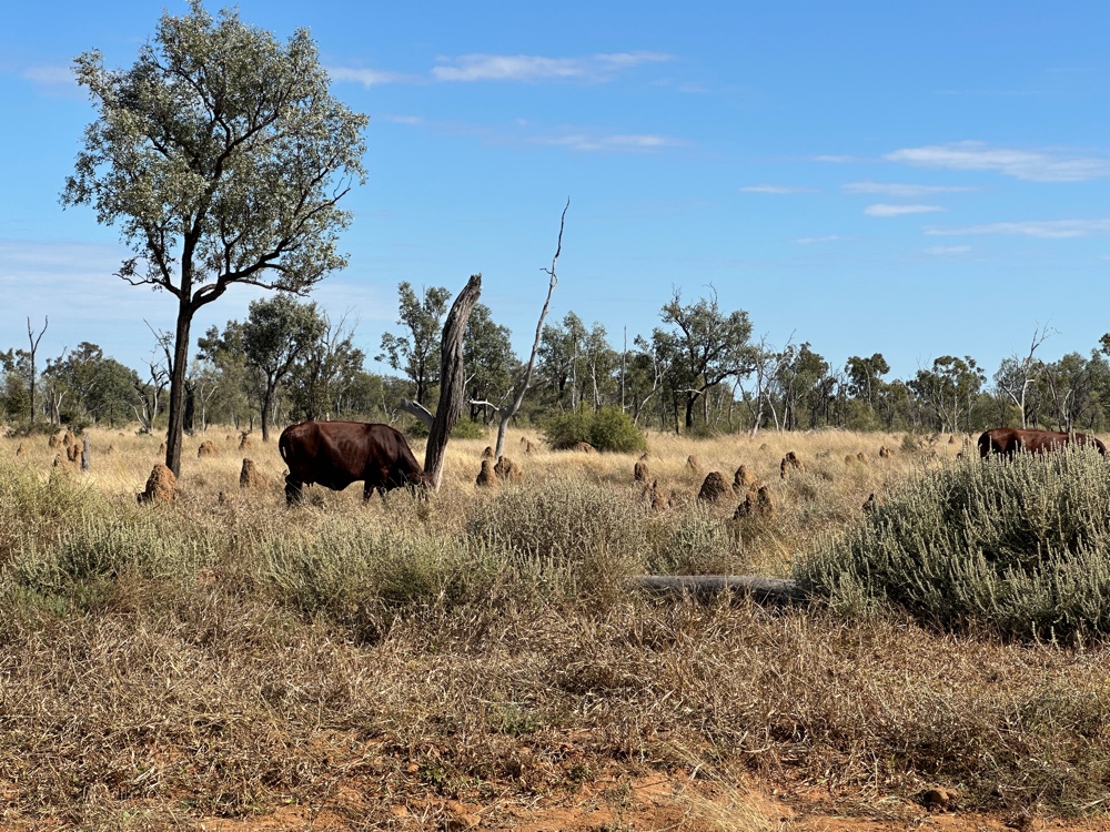
Tuesday, 14 July 2026

Katherine

I’m staying a few days in Katherine, and I don’t intend to do much here. It’s a rest period in the middle of the trip, when I can be lazy, prepare for the rest of the trip and see whatever takes my fancy.

I’ve been here twice before on tours. The first time I saw the Cutta Cutta Caves, which were very good. The second time I went through Katherine Gorge in a two part boat trip. 

The gorge is the result of a number of faults, so is a series of pools, many of them connected, but there are land bridges between the ones forming the upper gorge. At the first land bridge, we got out and walked about 100 metres, then caught a second boat to the next land bridge, turned around and came back. The gorge is awesome - one of the jewels of Australian scenic beauty - but I don’t need to do the boat trip again. I was thinking of visiting the Nitmiluk National Park and doing some of the walks. You can also canoe in the gorge, which would be nice. There are two problems. The first is that I don’t like heat, and I’m not yet really acclimatised to the tropics and 30C most days. The second is that Nitmiluk has crocodiles. Fresh water crocodiles, but still crocodiles, so canoeing isn’t really something I want to do, and the walks stay up on the top of the gorge, or are quite steep. It does get salt water crocodiles at the end of the wet season, but they get relocated before humans are allowed in the gorge because they’re very dangerous.

I also went to the Edith Falls in that trip. So I’ve seen the major scenic highlights of Katherine already. 

There are definitely a lot of other things to do in Katherine. It’s the fourth largest metropolis in the Northern Territory. It has 8,000 people. Most people live in or near Darwin, and Katherine isn’t that far away. It’s the junction of the roads going east, west, north and south. Everyone travelling anywhere (to any capital city for instance) needs to go through Katherine. It has a lot of water and reasonable soil, but it’s prone to flooding and drought. This area is called the Big River area of the Northern Territory. They grow mangoes here. Evidently pumpkins as well. 

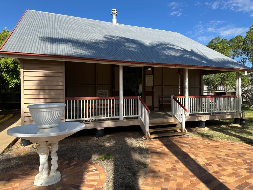
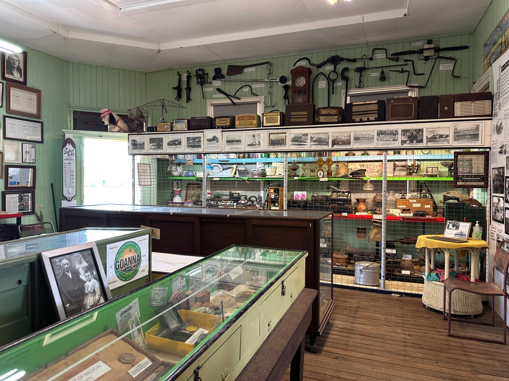
Today I visited the Katherine museum. It’s a set of buildings with lots of interesting history about European Katherine. In the 1920s a number of Russians came to Katherine, originally to build the enormous bridge across the Roper River. Once it was finished, they tried peanut farming. Peanut farming was never very successful here because of the variable rain and they didn’t practice soil rotation, so the soil became depleted. But they tried it until after the war. During WWII, The whole area became a big defence zone. Most European women and children were evacuated south, but this wasn’t enforced in Katherine like it was in Darwin itself. Katherine was bombed several times. The Japanese had used more bombs on Darwin than they did on Pearl Harbour in their initial attack, but they never did quite as much damage in any of their subsequent attacks. The forces in the Northern Territory were Australian, American and Dutch (evacuated from the Dutch East Indies or what’s now Indonesia), and they were spread over the area down to Daly Waters.

The museum also told the story of Eric Fenton who was a doctor who became a pilot so he could join the Royal Flying Doctor Service, but was rejected by John Flynn because he didn’t want doctors being pilots. So he started the Northern Territory Aerial Medical Service instead and flew his own plane everywhere. He received telegrams from the Royal Flying Doctor Service from Cloncurry and Wyndham. He was a bit of a maverick. He was fined for swooping low over the star theatre in Darwin, including once between the circle and the stage in 1935, and flew to China to rescue his mother at a moment’s notice. 

Monday, 13 July 2026

Daly Waters to Katherine

Daly Waters has many claims to fame, even though it has a population of 55 according to the internet. It’s the oldest continuously licensed pub in the Northern Territory. 

It’s also the oldest international airport in Australia. It was where the 1926 London to air Sydney race started, and was the first Australian stop for early Qantas international flights. It was also the backup airport for Darwin in WWII.

Then there’s the Stuart Tree. Remember that Stuart was an explorer whose expedition was the first to successfully traverse Australia from north to south (Burke and Wills traversed it from south to north, but didn’t do the reverse). He camped at water, sent out scouts to find the next water, then moved there - a slow but methodical process. He came to Daly Waters, and named it after the good water he found, as well as the governor of South Australia. He carved the Stuart tree here with an S.

The Daly Waters Pub is a quirky complex that includes four separately named campgrounds, cabins, motel rooms, the pub with dining options and an extensive beer garden, various animal enclosures (including one for a salt water crocodile), a playground, a fictitious petrol station complete with pumps that must be 70 years old and brand new pumps that you can actually use (pay across the road at the bar rather than at the petrol station), an outdoor museum and an indoor museum called Tim’s Junkyard. Each night they have the famous beef and barra bbq, that feeds a fair percentage of the crowd, a pizza bar, that feeds another fair percentage of the crowd, while everyone who wants something different can queue up in a long queue for about an hour. There’s music and, at 5:30pm Tim’s Speech. Animals wander around, being petted and fed. Last night a road train delivered fuel to the petrol station, while dodging kids and people. Like everywhere this week, it’s full. That’s school holidays for you.

Today I went on the walk that included the dig tree, original site of the Daly Waters Pub, the cemetery, the river (water holes really - it is the dry season), and other historical information. I was slow in leaving, just making the 10am deadline. There were already a number of caravans arriving and lining up on the road. They don’t open the caravan parks until 2pm, but maybe they start earlier at peak season. I visited the airport before I left.

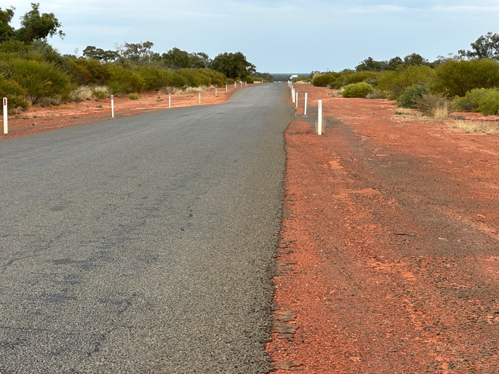
The road to Katherine was uneventful, apart from the roadworks. There’s a lot going on, since the cyclones earlier in the year, but all the roads look good. I joined Highway 1 at Daly Waters, as the Stuart meets the Capricorn Highway there. Highway 1 is the coastal road that circumnavigates Australia. It’s the longest unbroken highway in the world (the pan American highway has a break in the middle). I’ll be on Highway 1 until I reach Kununurra.

Alongside the road during WWII a number of airfields were built, so every so often on the road, there’s another sign to one of these airfields. It really shows just how many soldiers were in the territory in WWII.

And now I’m here!

Sunday, 12 July 2026

To Daly Waters

Today was a long drive. I could have detoured slightly and stayed in Tennent Creek for the night, but instead I powered through and ended up in Daly Waters. 

You know how there are milestones at the side of the road, every 10 kms saying (for example) SH 180? That’s what the milestones were saying, but I couldn’t work out what SH was - there’s nothing between Barkly Homestead (which is a glorified roadhouse) and the Stuart Highway. Suddenly it dawned on me that SH WASthe Stuart Highway! Just after the corner, Three Ways Roadhouse put in an appearance. Barka Barka station said no fuel, no food, no camping. I got fuel at the next roadhouse. I then passed Elliot without stopping. Eventually I reached the world famous Daly Waters Pub. It was jumping. Like Barkly Homestead, it had about as many people as it could fit. When I went to get dinner last night the queue lined up to order dinner was amazingly long. But Daly Waters has a lot going for it. I’ll tell you all about its attractions tomorrow.

I’m gradually adding pictures to the posts since I worked out what was wrong and fixed it, so if you look at the earlier posts you’ll now see some pictures.

Saturday, 11 July 2026

Barkly Highway

This morning I packed up and visited the petrol station to refuel. There was a queue of about eight cars and caravans waiting to even enter. I decided to visit the Drovers Museum instead and come back later.

At first, the overlanders brought stock overland from southern Queensland and from Adelaide to the Kimberley and to stock the properties in northern Australia. Then the drovers moved cattle from the stations to other places to sell them. There are some very well known droving routes, for instance the Canning Stock Route, but there are others like the Murranji Track which were more significant and less well known. The pastoralists had problems because the Asian market didn’t eventuate, and because there were ticks in northern Australia, southern states didn’t accept their cattle. When the explorers had mapped the land, there had been some very good seasons, but in the 1890s seasons became poor and many pastoralists were driven out. 

The Murranji track had no rivers or streams. Aboriginal people of the area showed the pioneer drovers the soaks and waterholes on this traditional aboriginal route.

In the 1960s droving was rapidly replaced with trucks in only a few years. Today some of the stock routes are popular tourist routes.

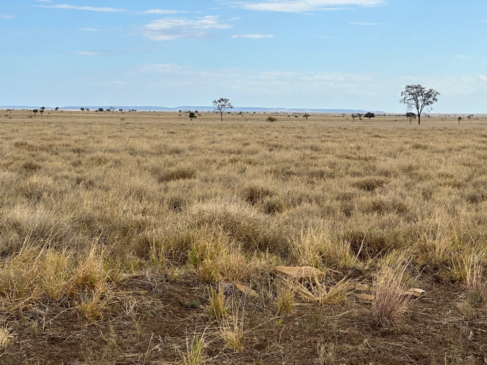
After I finished at the Drovers Museum, the petrol station was having a lull, so I filled up and commenced my journey. The Northern Territory border was only a few kilometres from Camooweal, and the land was grassland and very flat. For most of the trip I could see several kilometres ahead on the road. I was in the Barkly tablelands, and after a while I got to Barkly Homestead. There were no towns on the way. The only station on the road had signs that it had no fuel, no food…

Friday, 10 July 2026

Riversleigh

After I’d been to the underground hospital museum with the three buildings, I booked the last session of the day for the Riversleigh experience at Outback at Isa. Riversleigh is a very large fossil site in the Gulf of Carpentaria region. It’s a UNESCO World Heritage Site (along with the Narracorte Caves in South Australia) and a Lagerstatten (the most scientifically significant fossil sites - our others are The Age of Fishes at Canowindra and the Edicarian Fossils at Nilpena in South Australia). The limestone rocks at Riversleigh contain bones which are some of the most recent fossils you can find - 15 million to 25 million years old, showing what the ancestors of our Australian fauna were like. They dissolve the lime from the rock, and are left with bones, ranging in size from the bones of megafauna down to what look to be grains of sand. However, when you put these grains under a microscope you see microscopic bones of really small creatures. Outback at Isa has the tanks dissolving the rocks and does the work to identify the bones.

It was a pretty amazing experience! I had already decided to extend my day today to visit Riversleigh itself on my way to Camooweal. It extended my driving to over six hours, rather than the two and a half hour trip I would have had between Mount Isa and Camooweal, but I thought it would be worth it. The site is mainly fenced off but there’s a section that’s open to the public with paths and rocks and lots of explanations. It’s a very remote area, so there aren’t any rangers at the site or the national park next door, and a lot of the road is dirt. Having had the Outback in Isa experience, I felt that I would recognise the fossil rocks when I saw them.

The road from Mount Isa to Camooweal starts with some of the same glorious scenery that I’d enjoyed going from Cloncurry to Mount Isa, but it soon changed into flat Mitchell grasslands. There was a road stop with information about the Landsborough Highway. It was named after an explorer who had been sent to find Burke and Wills, and had mapped this part of the world. In WWII, they needed to be able to send convoys from Mount Isa and Cloncurry to Darwin, so they built the Camooweal to Mount Isa road. Up to 1000 trucks a day used the road during the war and it has been the main road linking Darwin to the eastern states ever since.

I found the road to Riversleigh. The first part was paved, and after the dirt road started, there were some significant sections of paved surface, but it was mainly a very dusty road. Every caravan going in the opposite direction sent up a big plume of dust, and I needed to stop each time before I could see to continue. It was mainly scenery like around Mount Isa with occasional sections of Mitchell grassland. Then there were a couple of creek crossings which had been concreted and the water was so clear I could see the bottom easily. Then I came around a corner, and there were five vehicles at another crossing. The water was flowing fairly fast and it was deeper than the others. I think it must have gone up overnight because another vehicle was on the other side, and the driver was very hesitant about crossing it. The road goes nowhere, so they must have crossed it previously.

It turned out that three cars with trailers and caravans were a convoy going to the national park campground. There was also a vehicle that looked like a VW combi van. They were international tourists, and had tried to cross but had wet their engine so they were stuck. The convoy had set up starlink so they could talk to their son in Brisbane to get out of their situation, and everyone was waiting for them to finish before they could proceed. I decided to go back since I haven’t crossed this type of crossing. I knew I was only a couple of kilometres from Riversleigh at the most, so it was disappointing. I figured out afterwards that Riversleigh was less than a kilometre away, so I could have walked across the creek and visited Riversleigh and come back. I offered to take the foreigners to Camooweal, but they declined.

I was following a truck for the first part of the way back, and the dust was dreadful even though I tried to stay well back, but I overtook it on a section of paved road, and got to Camooweal by just after 3pm.

Thursday, 9 July 2026

Mount Isa

As planned, I am staying an extra day in Mount Isa. This is fortunate, since I needed to get my car looked at. It’s fine - I booked it when I was at Emerald. While I was sitting in the visitors waiting room, I talked with someone who lives here. I had been completely put off going to the Outback Mount Isa Riversleigh exhibition because I was in the building yesterday, and there were people everywhere. He told me that they had a special children’s day yesterday, and that it would be much quieter today, and he was right.

But firstly I visited some outstanding early buildings in Mount Isa. The mine opened in the 1920s, and rapidly expanded. Other mines in the area closed down at about this time, including the mine at Kuridala. It had a rather large hospital, and Mount Isa bought it and moved it in pieces. It was turned into five buildings, replacing the A frame tents that were being used for the existing hospital, so it was a big improvement. One of the buildings was used as a hospital, and then as a maternity hospital. This building has been moved again to its current location to be a museum. At the time it was a hospital, the matron had kept anything that was replaced, so when they turned it into a museum she gave all the original equipment back. As a result, the museum is full of original equipment!

When Darwin was bombed, Mount Isa was one of the most valuable towns in northern Australia because it was a major producer of lead and copper. The hospital in Darwin had been bombed, so the people were worried that if Mount Isa was bombed, the hospital would be damaged. They decided to create four tunnels near the hospital to house the hospital if it was under threat. The miners took 15 weeks to complete the project, including making furniture, during the time they weren’t working in the mine. After the war, the tunnels were filled in, but the ventilation shaft was left. In the late 1980s the shaft was discovered and people found the underground hospital again. It still had all the equipment in it, so they turned it into a museum as well.

The last building in the collection is a tent house. When Mount Isa was established just about everyone lived in A frame tents. There was no train line, and there wasn’t much in the way of construction materials, so they decided to design a tent in the shape of a house. These had three rooms - two bedrooms and a living area. The toilets, laundries and cooking were shared between 10 tent houses. The tent houses were built between 1931 and 1937, were made of canvas, with windows in them, and lasted until after WWII. Then they were gradually bought and disposed of. However, one lady loved her tent house. It had been extensively modified - the bottom half of the walls had been replaced with cladding, a gazebo style frame had been built above the roof, and the ceilings had been lined with wood. She had an extension the same size as the original tent house which had a large kitchen and a bathroom/laundry. She refused to sell. After she died, her son got it classified by the national trust, as it was the only one left - the others had all been destroyed. It was moved to the site of the other buildings and is now part of the museum.

I visited these this morning, and was very impressed.


Wednesday, 8 July 2026

Big Sky Drive

Cloncurry has always been a mining town. The original copper mine is still in operation over 100 years later, but there are a lot of other minerals in the area. Mary Kathleen was a town where uranium was mined, and there’s an outdoor exhibition of some of the equipment from that mine at the Mary Kathleen memorial park. The museum next door is devoted to the mining industry and the inhabitants of the area. They have a really comprehensive collection of aboriginal artifacts - including more worked stone than I’ve seen anywhere. They also have one of the largest collections of minerals and stones in Australia. And it’s all very accessible. This was one of the few modern museums that I think does a good job of providing a depth of information.

John Flynn is deservedly well known in Australia. He had a vision for the outback to have just as good education, health and communication as the urban areas. He didn’t succeed, but he did more than anyone, possibly in the world, to achieve this in remote regions. He became a Presbyterian minister, and selected the most remote parish as his ministry. Firstly, he developed an outback medical guide that was distributed throughout the outback and became the medical bible for remote Australia. He managed to convince people to finance a one year trial of a flying doctor service. This was based in Cloncurry, and the plane took doctors to remote communities and stations within range of the aeroplane. The flying doctor service expanded to sixteen centres and still runs today. They provide medicine chests to places across outback Australia, so the flying doctor service can advise what to do immediately (this was initially done by pedal radio), regular clinics to remote communities (for instance, when I visited wanaaring many years ago I was told the flying doctor visited every second Monday), as well as emergency flights when a doctor is needed. Having distributed pedal radios throughout the region, Flynn then started School of the Air, where children could be in a classroom across a wide area. The classes initially ran for one hour a day, complimenting the Queensland remote syllabus. School of the Air also still runs today. Since it all started in Cloncurry, there’s a fantastic museum here dedicated to John Flynn and his work. It’s over three levels and it’s well worth visiting.

On my way out of Cloncurry, I visited Chinaman’s Creek Dam and the Big Eagle and the Eagle painted on a tank (evidently in northern Queensland they paint tanks rather than silos) at the lookout.

Then I drove to Mount Isa. It was an extraordinarily beautiful drive. As road trains use the road, and the only places I could stop were stopping places at some of the least photogenic locations on the road, my photos don’t do it justice. The road winds through hills of very weathered rock. I’d say it’s one of the most beautiful roads in Australia. I’d rate it better than some of the others that are famous. I looked it up later, and the whole drive from Cloncurry through Mount Isa and on to Camooweal is called Big Sky Drive. Evidently, there is an audio app you can get that gives you three hours of recordings, based on your gps location, that you can listen to on the way. I’m going to try it for the drive on to Camooweal.
On the way there were several side roads that I could have gone down, but even though it was a short drive, I was tired and didn’t go down them. 

I did stop at the Burke and Wills memorial, even though I’m not a fan of their expedition. In my opinion, Burke was an idiot and should never have been in charge of the expedition and the Victorian Royal Society was obviously full of academics without any hands on experience. If you don’t know about it, there was a race to cross the continent from south to north, so that an inland telegraph route could be developed. There was nothing in the north, and almost all the population was in the south, and no one had crossed the continent before. There was a successful team from South Australia, lead by Stuart, and there was Burke and Wills from Victoria. They created a travelling circus, complete with boats, to cross the several deserts on the way. They seem to have been wined and dined at every Victorian town on the way. They were the first Europeans to successfully cross the Sturt Stoney Desert. They did succeed in traversing the continent. Burke divided the group twice, and only one of the people who actually traversed Australia survived. Burke didn’t. Unfortunately, Wills didn’t either. Yes, I’m biased. There are commemorative stones in many places in Victoria that Burke and Wills camped there for a night. I’ve even come across a memorial that says that the party trying to find Burke and Wills camped there for a night! Anyway, Burke and Wills camped a night at a place on the road between Cloncurry and Mount Isa.

I also stopped at an aboriginal memorial to the tribe that once lived in the area.

And then I hit Mount Isa. It’s a big mining town, dominated by the enormous mine you can see a few kilometres before you reach it. Cloncurry is no longer home to the flying doctor service. It moved to Mount Isa in 1965. Mount Isa has deep underground tunnels.
Tuesday, 7 July 2026

Once a Jolly Swagman

Before I left Winton today I looked at bolder opals, which only come from this part of Queensland. Opalton is not far away, and Kynuna is on the road to Cloncurry. One of the other attractions in Winton is the Waltzing Matilda Centre which explores the song and its creator, Banjo Paterson. Most of the drive today was again through Mitchell grass plains, but there were occasional rocky outcrops. 


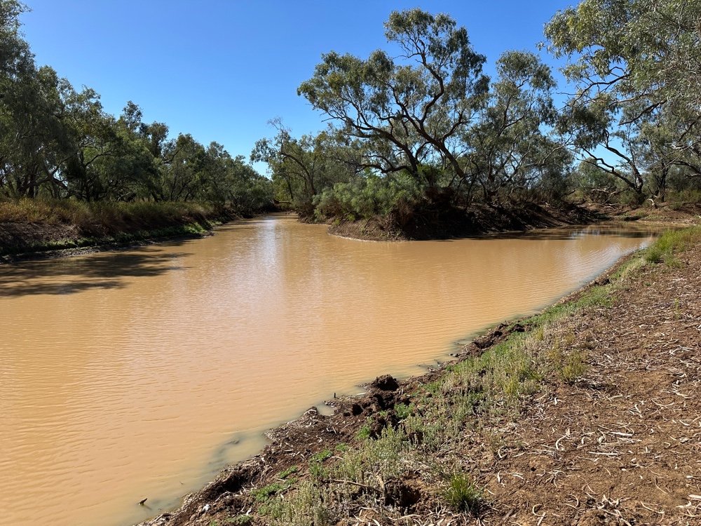
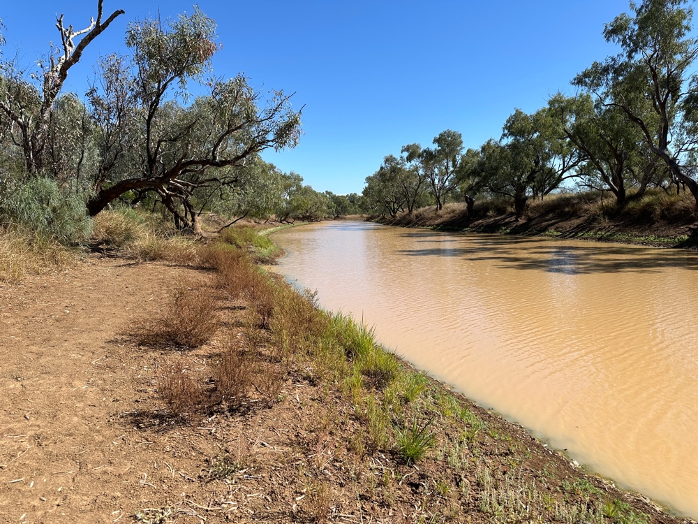
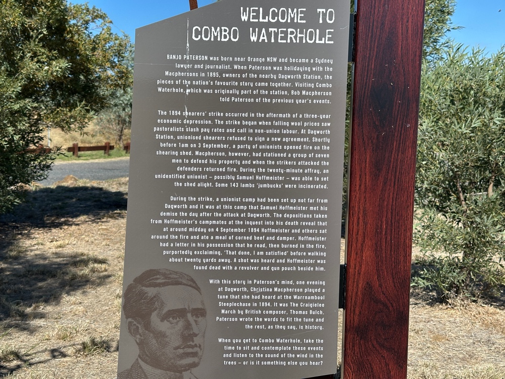
I stopped a bit before Kynuna to visit the Combo Waterhole, which is probably the billabong in Waltzing Matilda.


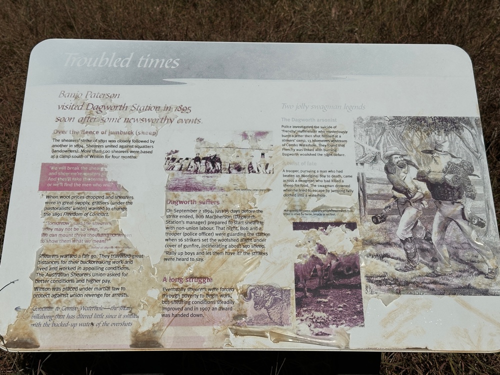
Banjo Paterson was staying at the Dagworth station in 1895. I talked about the 1891 shearer’s strike, and there was another one in 1894. Things had been pretty tough as there had been drought and a rabbit plague which destroyed a lot of the soil of inland Australia. The pastoralists were desperate and they tried to reduce wages even more. Whereas, during the first strike, the strikers and the thousands of police and military had been restrained, in 1894 people were all in much worse moods. At Dagworth station the shearing shed had been burnt down and 143 sheep died, after shots were fired between the military and the owners and a group of strikers. The next day, one of the strikers probably shot himself dead. This story was told to Banjo by the owner of Dagworth Station while they were at the Combo waterhole together. It’s possible that the dead striker metamorphed into the swagman in the song, particularly as swagmen were itinerant workers, and most shearers would have been swagmen.


I stopped in Kynuna and had a delicious hamburger, but no one seemed to have their opals for sale. 


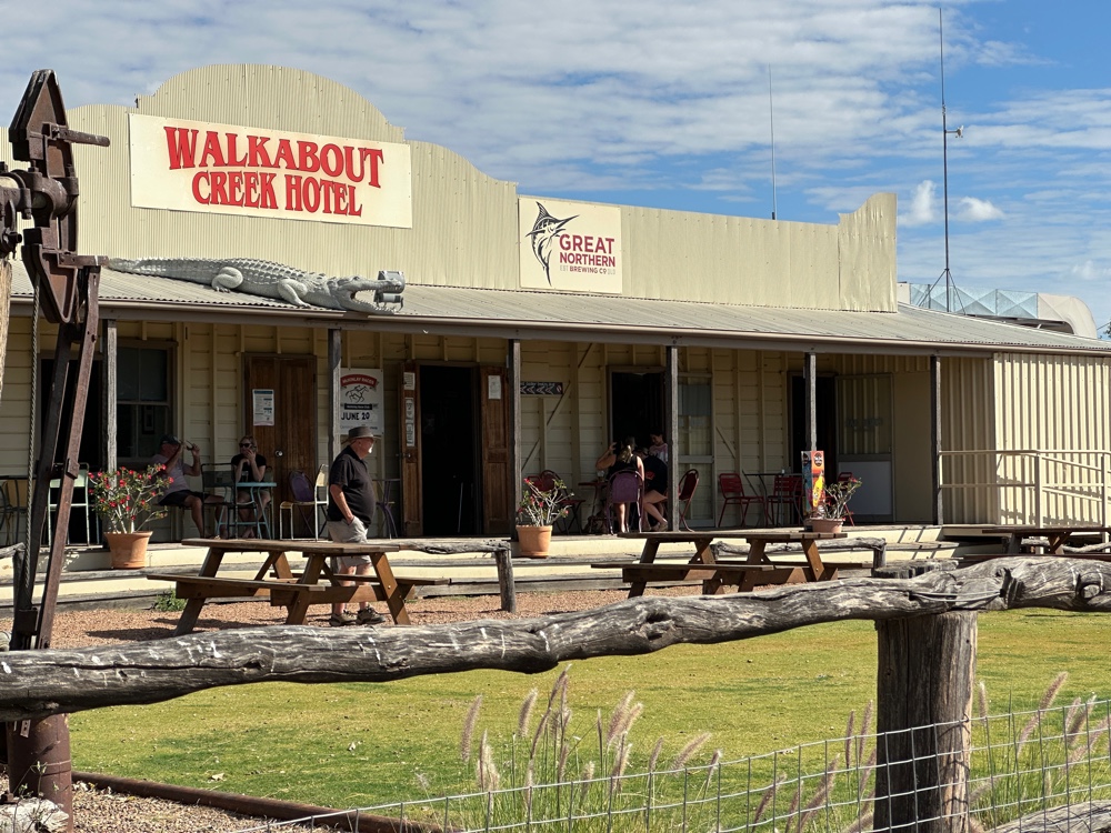
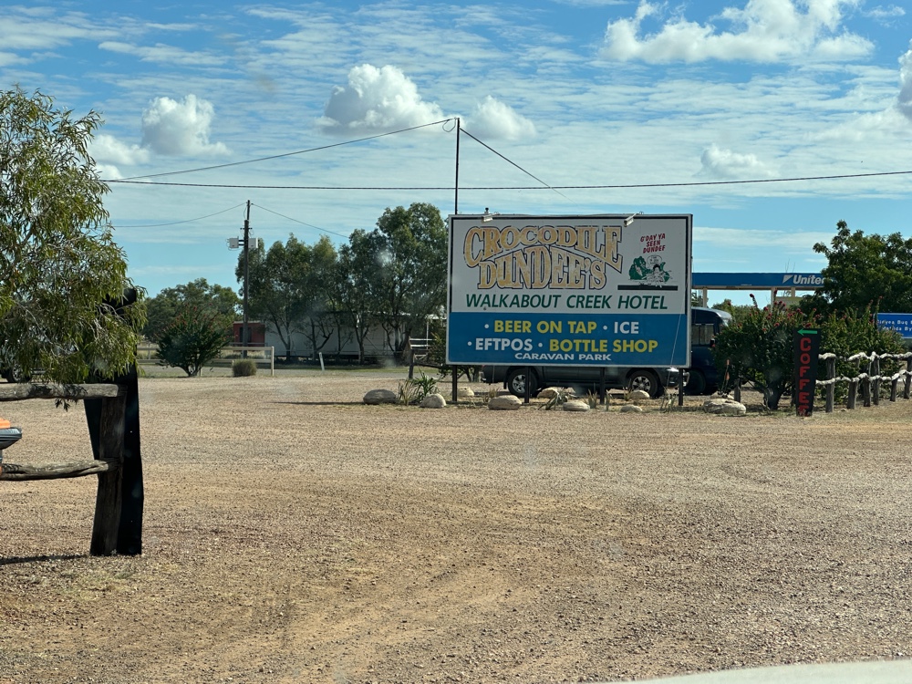
At McKinley I stopped to take a picture of the Crocodile Dundee Walkabout Hotel. Evidently Crocodile Dundee was filmed here, even though there wouldn’t be a crocodile anywhere nearby.


The vegetation changed before I reached Cloncurry. My accommodation is quite nice.
Monday, 6 July 2026

Blackall to Winton

I said goodbye to my farmstay this morning.


Longreach and Winton have a lot of tourist attractions. Winton is the dinosaur capital of Australia. Longreach has the stockman’s hall of fame. Qantas began in Winton. Longreach is on the Tropic of Capricorn. Last year I visited both and they fully deserve the number of tourists who flock to them. They are worthy of several days, but I need to get back to my schedule, so I decided to go through Longreach and stay only one night in Winton. 
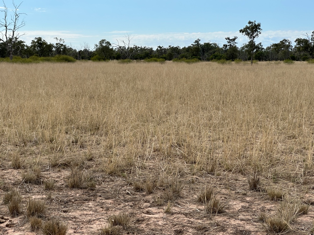
Once I passed Barcaldine again, the land was very flat. It’s always been a grassland and the native Mitchell grass is superior stock food. The land naturally turns over - it’s self mulching black soil country, which made looking for fossils quite different to normal fossil digs, but makes the country some of the best in Australia for cattle. But it’s pretty boring to drive.

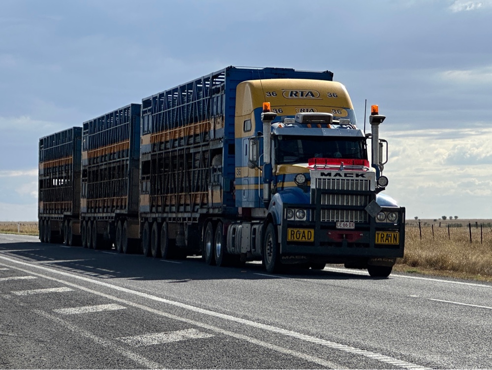
There were a lot of cattle road trains - I counted six in a row at one stage. Eventually I reached Winton, and discovered that someone here has a date farm, and I’m having fresh dates for the first time in my life. They’re nice. 


Farmstay Day 2

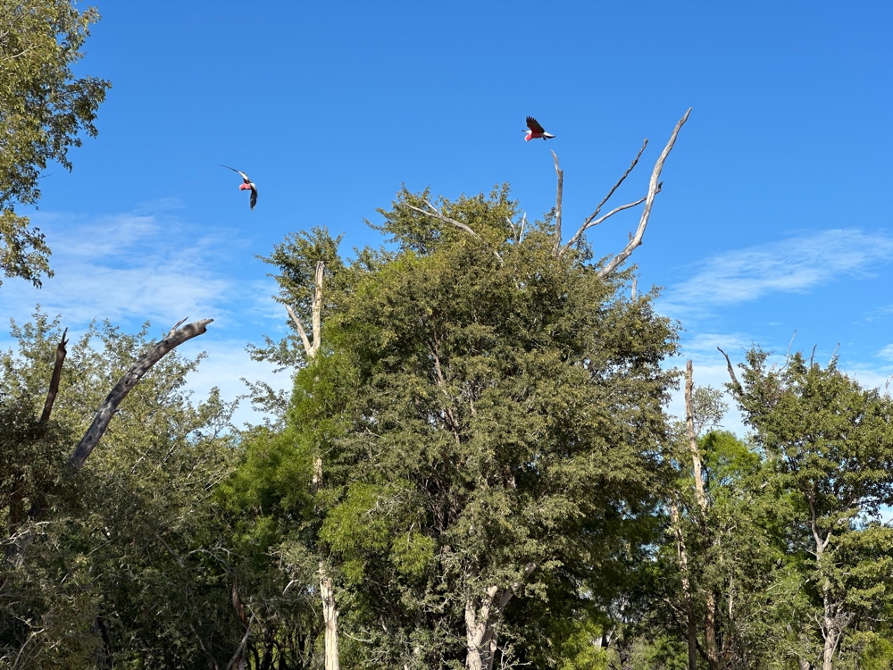
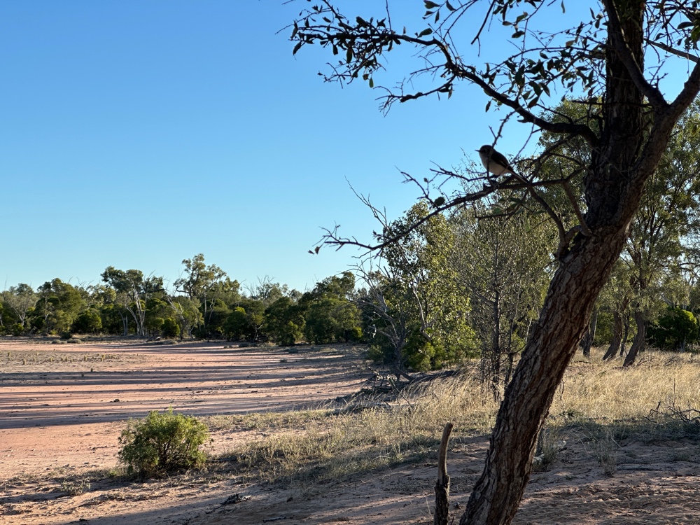
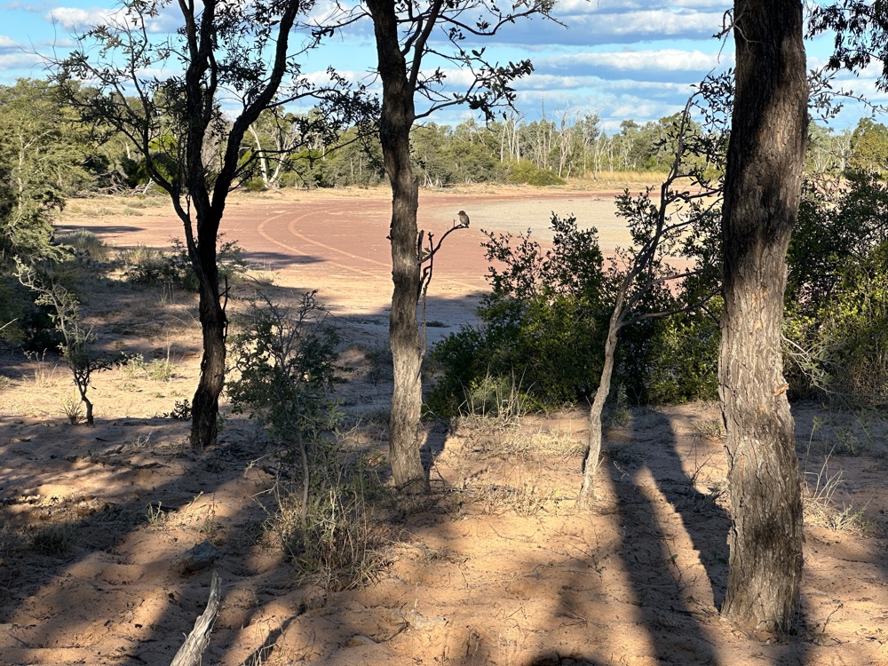
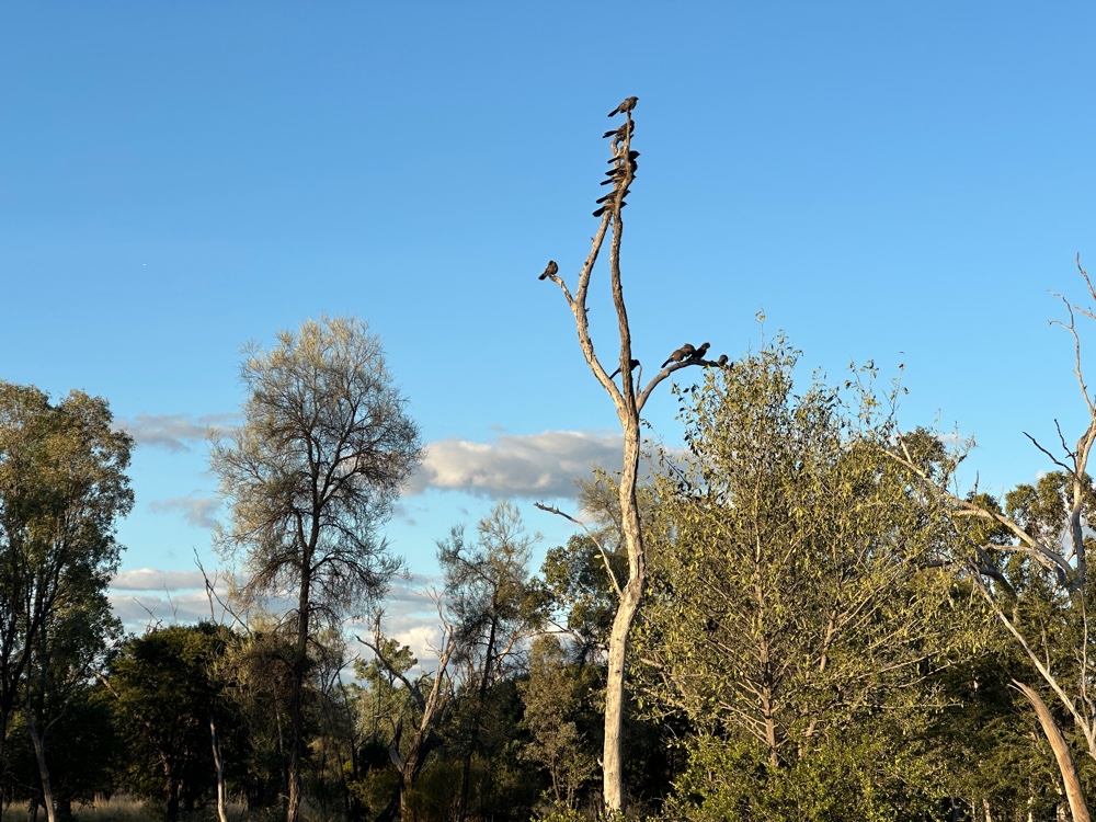
Near the campground, at the edge of the salt lake we spent some time each day observing the birds. Some of the ones I saw were endemic to the area, while others occur throughout Australia, and some, like the galahs, can be seen just about anywhere. However these galahs have intense pink feathers, rather than the usual softer pink. The owner says that the oil from one of the trees gives this intensity. The spiky bowerbird that occurs here likes silver rather than blue, and campers often put out silver for it. I didn’t have anything silver, so I didn’t.


After looking at birds, she took me to the other dry lake she has. Wild rice and millet cover the lake area there, and this would have been a larder for the aboriginal community. 
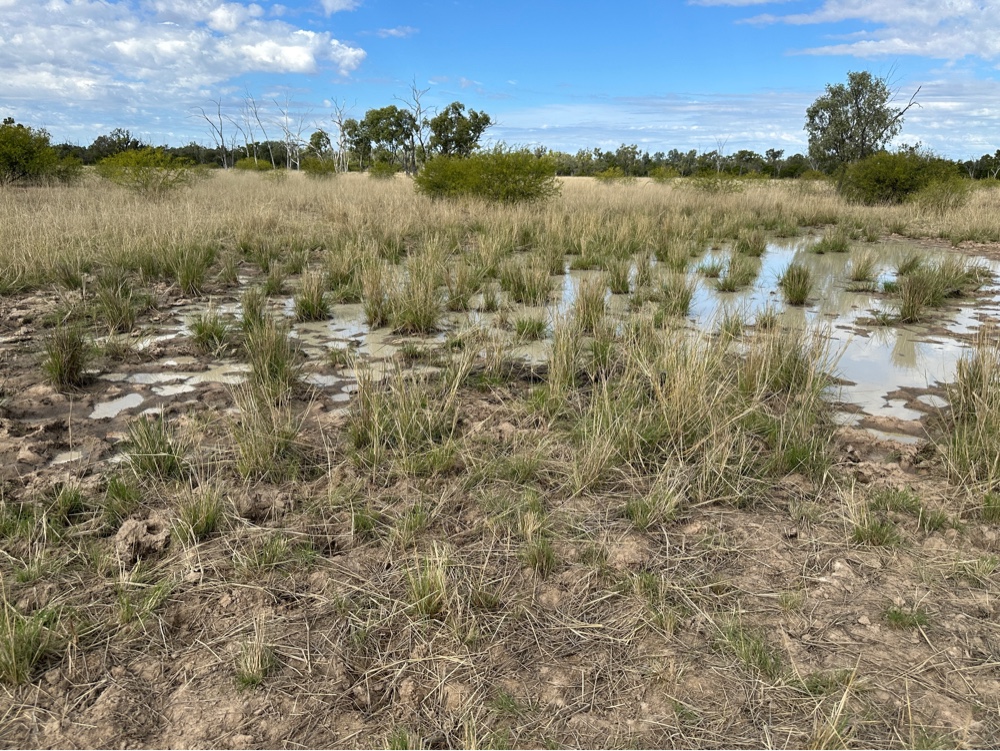
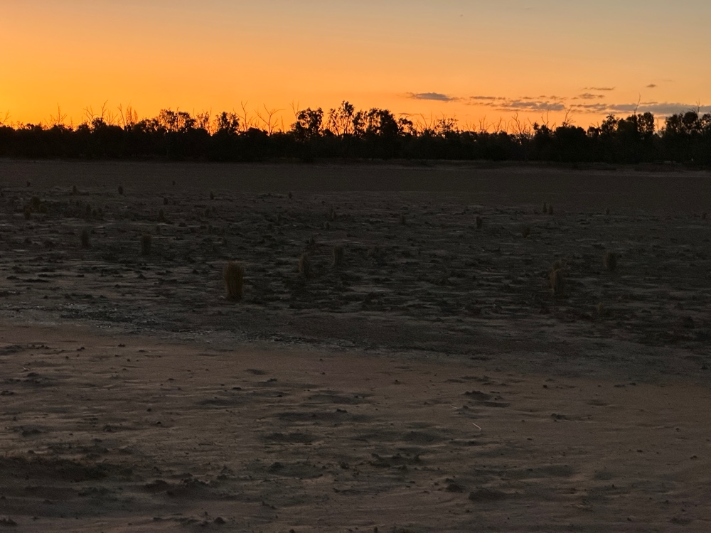
While we were there we found two patches where the lake hadn’t completely dried out since the last rains. The wet patches were oval, with trees on an island in the middle. A particular plant that was used by the aborigines of the area for yams was in abundance in these two watery areas, although the vegetation dies at this time of year, so they all looked dead. She hadn’t seen these here before, either the plants or the watery areas, because you’d need to be here at exactly the right time, and looking at the whole landscape you could see that it wasn’t exactly flat, so these areas occurred. She was very excited by the discovery. 

At the nearest edge of the lake, we discovered a number of flake tools, enough for that area to have been an aboriginal campsite.

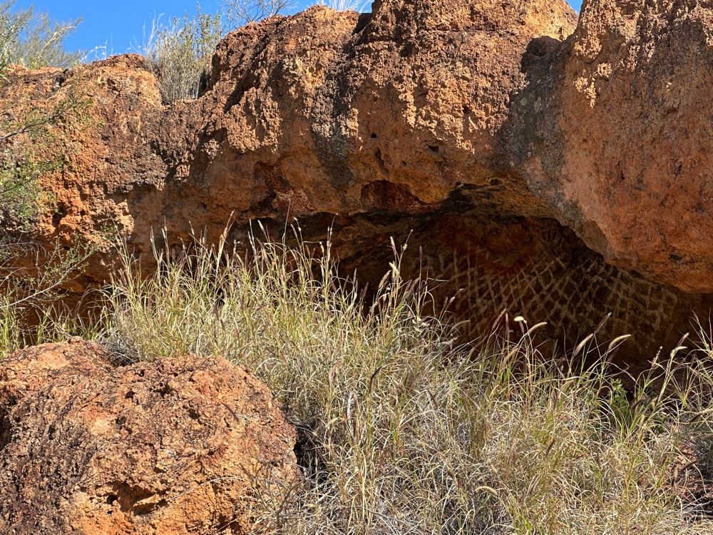
Later, we visited another aboriginal rock art cave in the escarpment which had an aboriginal well next to it. 


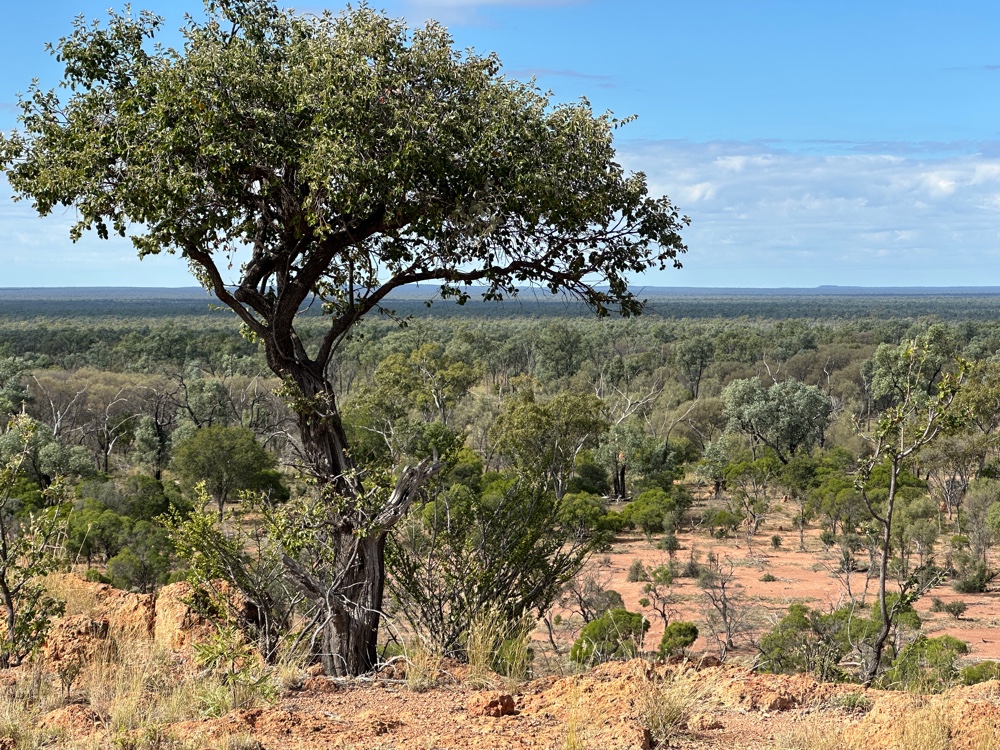
We then went to a lookout above the escarpment. Even though it’s not that high, you can see the tree covered landscape for many kilometres, and very faintly in the far distance is Carnarvon Gorge and the escarpment making bumps in the horizon.


We had roast beef and sunset from the lookouts. We also did some work with the cattle. And so ended my farmstay. I needed to leave early in the morning. While I was there some cattle appeared that had been missing for a few years, along with a steer that belonged to a neighbour. We had lots of interesting conversations and I thoroughly enjoyed my stay. I had needed to revamp my schedule when I found out about the farmstay, and I’ll have a couple of longer days driving as a result, but I’m really glad I found it. The owner is revegetating and I learnt a lot about that as well.

Farmstay day 1

During my first day at the farmstay the owner drove me around in her atv while we mustered cattle and saw one of the caves with aboriginal artwork in the escarpment that’s part of the property. I was astounded how she could encourage cattle to go from one paddock to another (these paddocks are probably all about a square kilometre in size, or more) and how much the cattle trust her. If they think they’ve eaten everything they want to in a paddock, they wait at a gate to be moved into the next one, and amble into another paddock as soon as they figure out what she wants. Another farmer wanted to use her stockyards, so she had to unexpectedly clear the paddock that lead from the main road to the stockyards, and those cattle were nowhere near the gate. However, she soon had them moving sedately to the right paddock. They were in three completely separate groups so she’d had to do this three times in her little atv.

She’s fenced off the caves with artwork, so that animals don’t destroy it. She gets aboriginal advice whenever she does something like this, and she didn’t just fence off the caves, but enough area to ensure the ecosystem remains. The cave we went to had been a place of refuge according to the experts, and there was water readily available through a soak. 


Although this is desert, this is in the subartesian area, where the permeable sandstone base allows water to flow into the great artesian basin, and springs or soaks exist that allow a small amount of water to come up. The water hasn’t reached the depths where it starts to be heated up. The desert uplands are mainly wooded, but there have been three good years, so there’s a lot of grass around. The eucalyptus trees don’t have the spread out canopy that you normally associate with eucalypts because they’re in the desert. She hasn’t counted the number of different plant species she has, but she has over 220 birds. Near the campground is a salt lake where we sat and watched the birds.


Because she doesn’t overstock, and she’s in a biodiversity hotspot, there are a lot of different plants everywhere you look. Also, because of the size of the property, there are different types of species in different places.


Barcaldine to Blackall

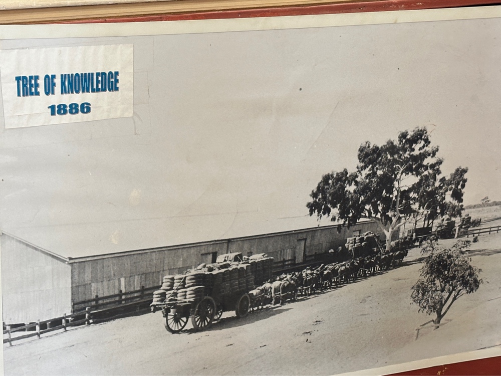
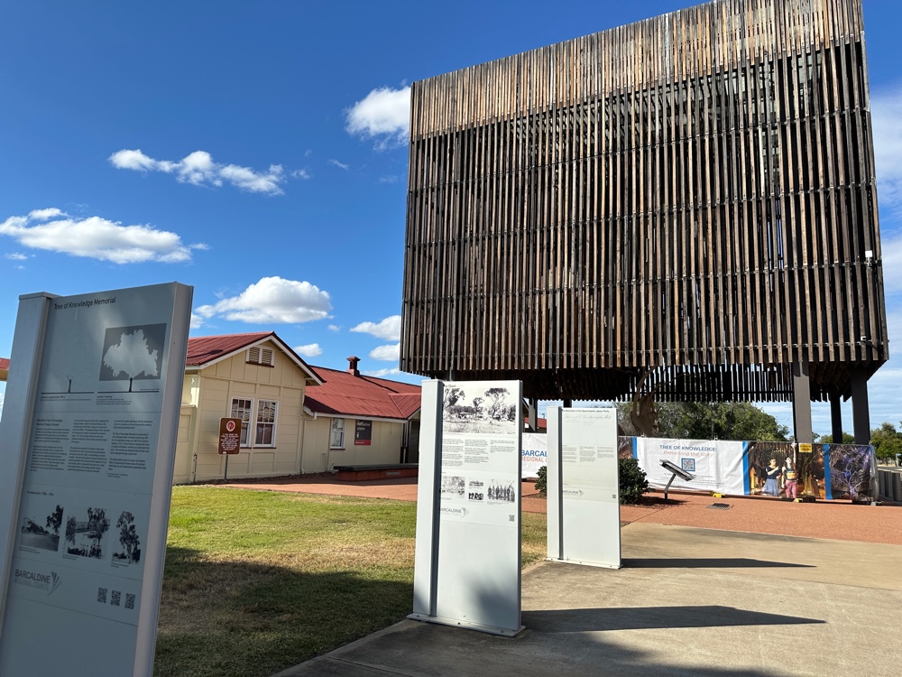
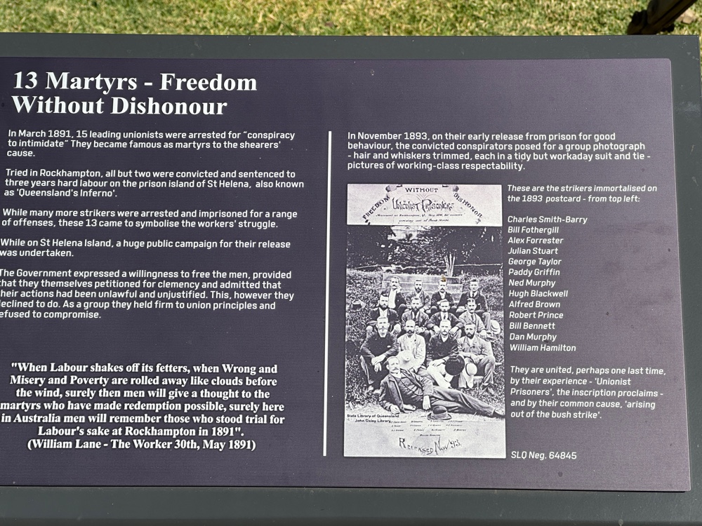
Barcaldine is the location of the Tree of Knowledge. Or, at least, it was until someone poisoned it with roundup in 2016 and it died. It was called the tree of knowledge because shearers met under the tree before and during the shearers strike in 1891.


Sheep do very well here. It’s quite different now, but when I was young just about everywhere the farmland was devoted to wheat and sheep. Cattle happened where sheep and wheat didn’t. We had 20 times as many sheep as people. Queensland, which has very few sheep now, was the centre of wool production, but sheep were everywhere. And Barcaldine was the centre of the Queensland sheep.


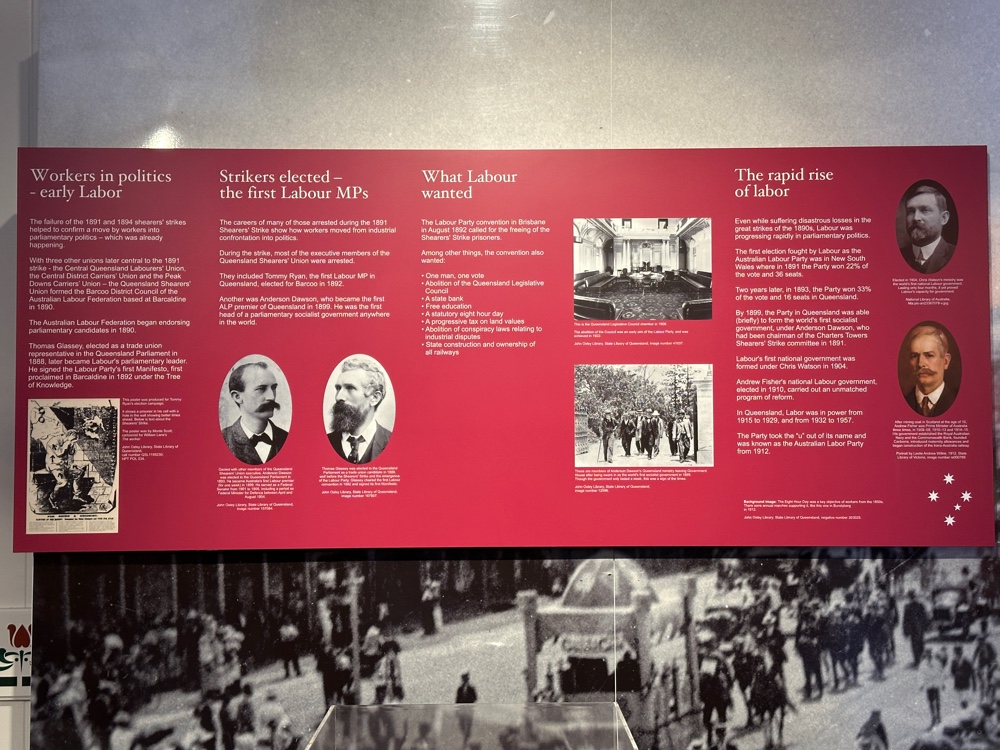
Sheep need a large itinerant workforce of shearers, so in the late 1800s, shearers started to unionise so they could get reasonable wages for the work they were doing. In Queensland they formed three unions. They met and talked outside the railway station where there was a big ghost gum, which became known as the tree of knowledge.


As a set of colonies, Australia was very dependent upon British prices for everything. We were discouraged from having a manufacturing industry. Britain wanted to manufacture everything - it’s the same problem that they had with the American colonies. So, although we produced an enormous amount of wool, we didn’t have a woollen manufacturing sector, and Britain dictated prices. Prices were low in 1890. The sheep graziers decided to lower the price they paid shearers, and when the unions went on strike, they imported shearers from NSW and Victoria (remember that they were different nations) to break the strike. The military were called in to protect the imported labour, and the police were also involved. Over nine thousand shearers and their dependents were camped outside towns in Queensland, there was a protest march through Barcaldine of over a thousand shearers, the ringleaders were arrested, convicted and jailed. It’s one of the three rebellions in Australian history - the rum rebellion, the eureka rebellion, and the shearer’s strike. 


It wasn’t a one off. The 1890s were a bad time in Australia. We had a severe drought, rabbit numbers exploded and they denuded the soil in outback Australia causing dust storms that removed the topsoil. The soil has yet to recover. There was another, more bitter shearer’s strike in 1894.


As a result of the shearer’s strike, the unions amalgamated into the Australian Workers Union, which is still one of our major unions, and the unions decided to encourage all their members to vote. The Australian Labor Party was formed under the tree of knowledge. When it won government in Queensland in 1899, it was the first labour government in the world. It’s still our major left party. And it started in Central Queensland, in what is currently the most right wing electorate in Australia.


Early in the morning I walked along Lagoon Creek (where the camp was). The sign there talked about the Uplands Desert biome which is a biodiversity hotspot. Barcaldine is its most westerly extent, so it must start at the western side of the great dividing range.


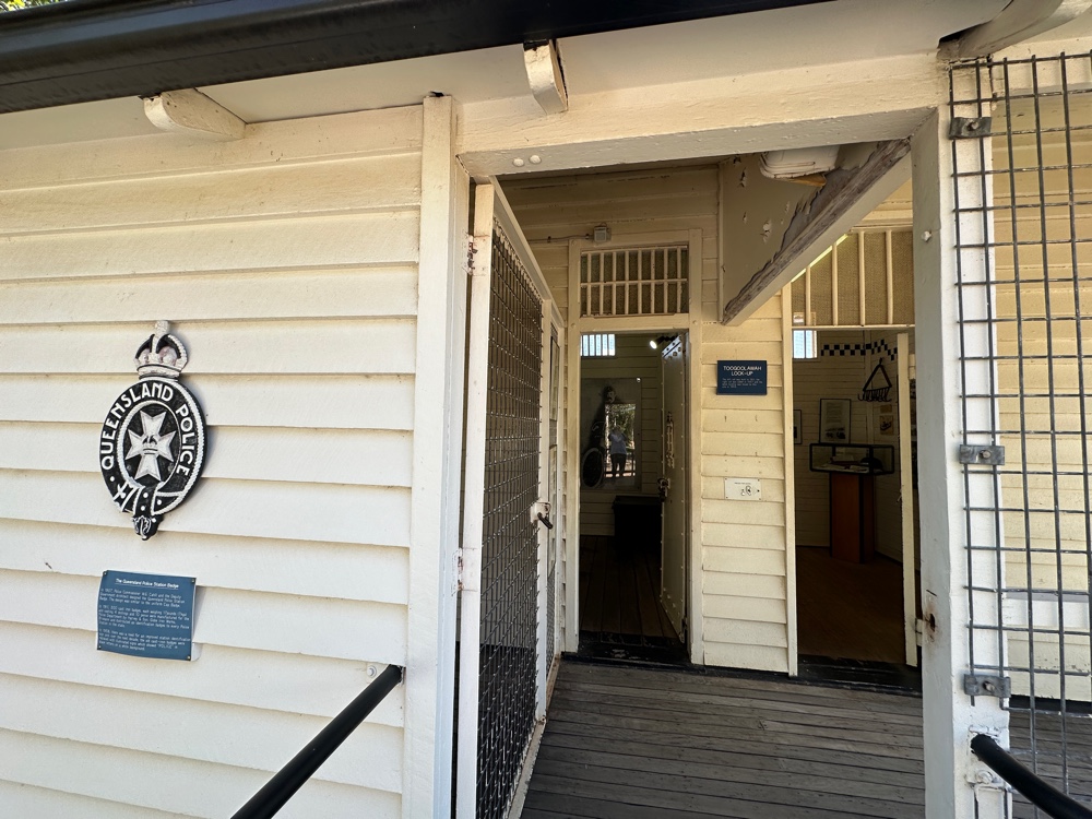
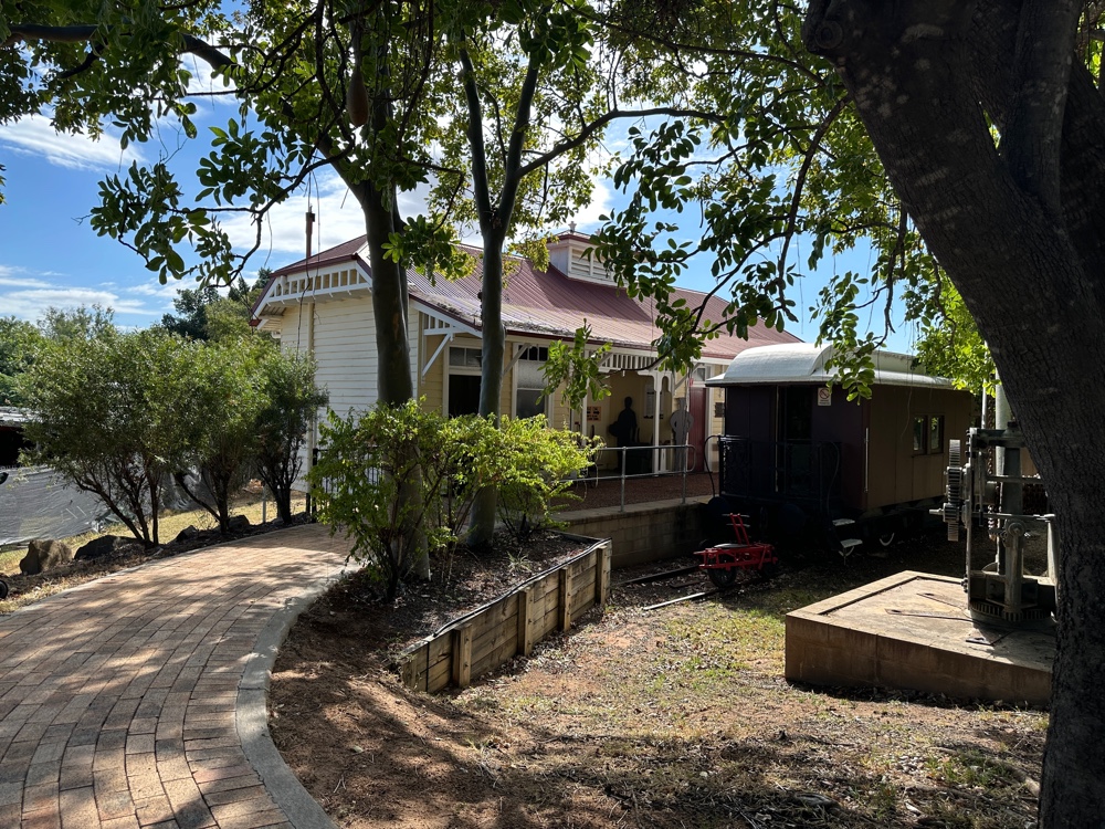
The Australian Workers museum is located in Barcaldine and I visited it today. I wasn’t very impressed. Somehow, people decide to build these swanky places with not much information, but with cool architecture and landscaping that turn me off. This exhibition was better than most. They used old buildings that had been relocated here - a police station, 


train station 


and school, 


from some of the other ends of the state. This land was originally a school, and some of the old school buildings are still there. However, information in it differed from information I’d collected from elsewhere.


There’s also an historical museum in Barcaldine. It’s full of interesting stuff - perhaps too full. But I enjoyed it.


Once I’d seen the museum, it was time to leave Barcaldine to journey to my farmstay. 


I was met at the gate by the owner, who led me to the campsite four kilometres away inside the property. It’s near a salt lake that has the remains of a number of aboriginal campsites that I could explore. The unseasonable rain and floods had made the other people who were due to come cancel their stay, so the aboriginal guide wasn’t coming either and I had the entire campground to myself. The campground had a shower and flush toilet, so it was a cut above the campgrounds I’ve been at in Carnarvon Gorge.


The station is in the Uplands Desert Biome, and like all the ones around, it’s a cattle farm. 

Thursday, 2 July 2026

Aramac

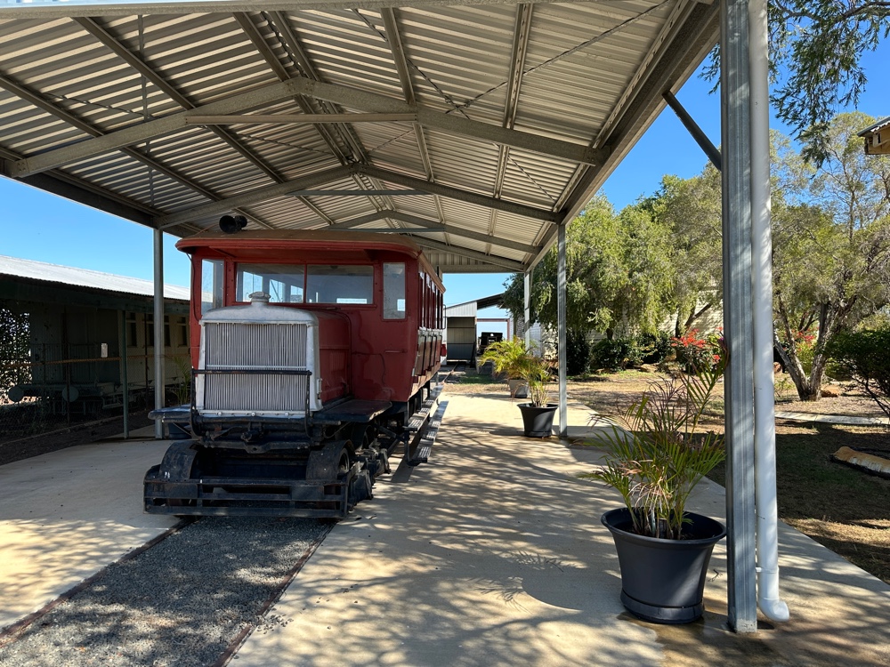
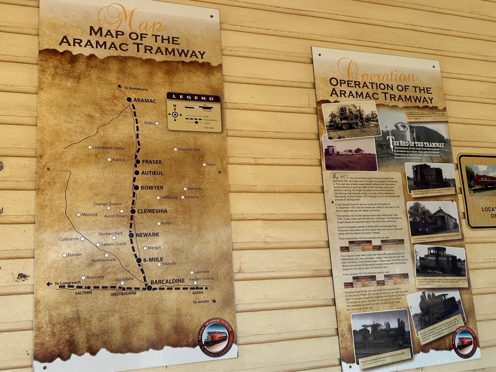
It’s reasonably common for a town to be named after a person, but this town was named after Sir Robert Ramsey Mackenzie, who carved RR Mac into a tree when he was exploring the area. Consequently another explorer named the watercourse Aramac Creek, and the town eventually became Aramac. It was originally Marathon, which is a town in the Queensland Railway song. However, it must be a different Marathon. This partly explains why I decided to visit Aramac today. When they were planning railways in Queensland, they decided to put the railway line through Barcaldine rather than Aramac. However, the good people of Aramac (which is one of the oldest towns in the area) decided to build their own branch line joining Aramac to Balcaldine, and thus the Aramac Tramway was born. It ran until 1975. I don’t think there are any other railway lines in Australia that were run by town councils.


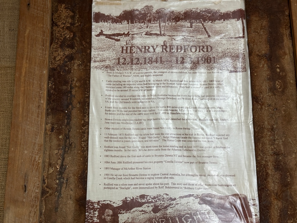
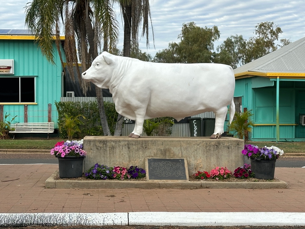
A more important reason I visited Aramac today is that this was where Captain Starlight had his adventures. He was a cattle duffer - he stole cattle, walked them to another market (in this case South Australia) and sold them there. This wasn’t a venture for the faint hearted, as it’s a very long distance, through desert. However, that year there had been exceptional rains in the area, and it worked. Or it would have, except that one of the 1000 cattle stolen was a prize white bull specially bought from England for 500 pounds. White bulls were quite unusual (one might say unique), and it was traced. When Captain Starlight was tried (in Roma), he refused to have anyone who was well dressed on the jury, and the jury decided he was innocent. The judge said “Thank god, gentlemen, that verdict is yours and not mine”. The court in Roma was adjourned for two years after this. In his subsequent career as a cattle duffer, he was later acquitted of two other charges, but was finally convicted on a third occasion. He is quite famous as his exploits were recorded in “Robbery under Arms” a fairly popular Australian book. It’s thought that one reason he was acquitted was that he’d developed a new droving route.


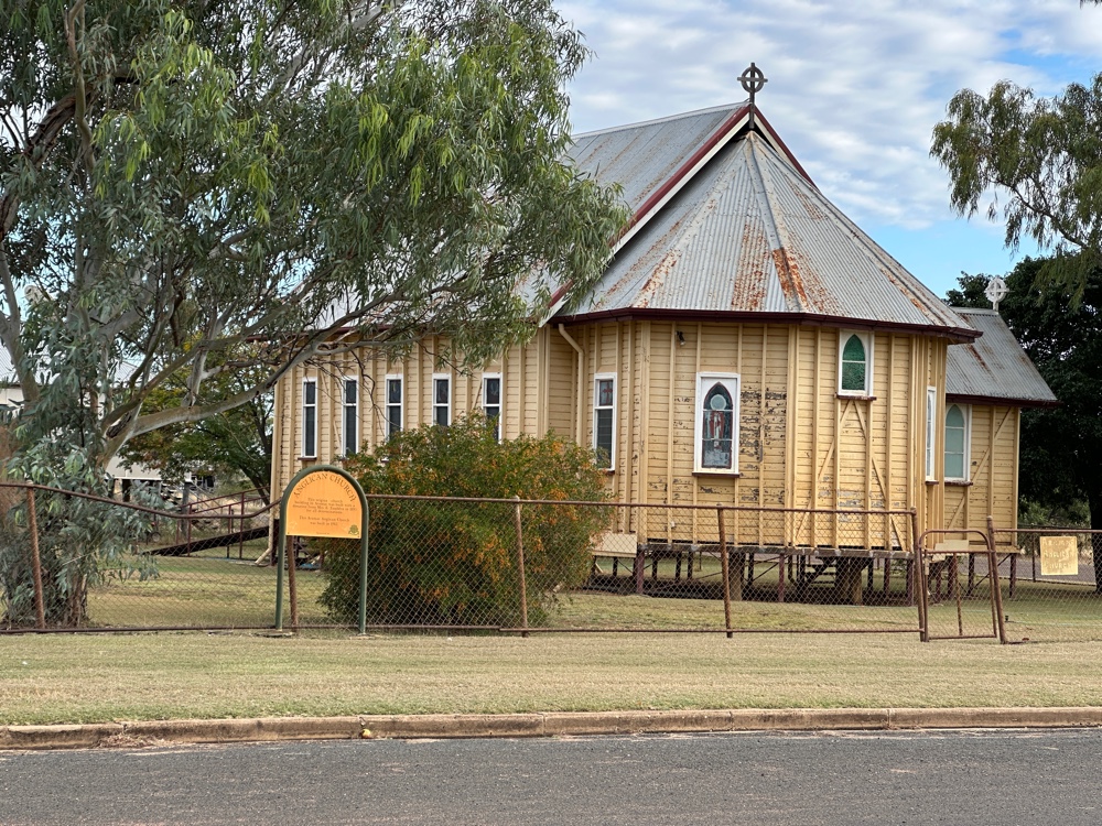
While I was in Aramac I visited the library museum and the tramway museum to find out more about these. Aramac is the oldest town in the area, and its Anglican Church is an example of the older buildings in the town.


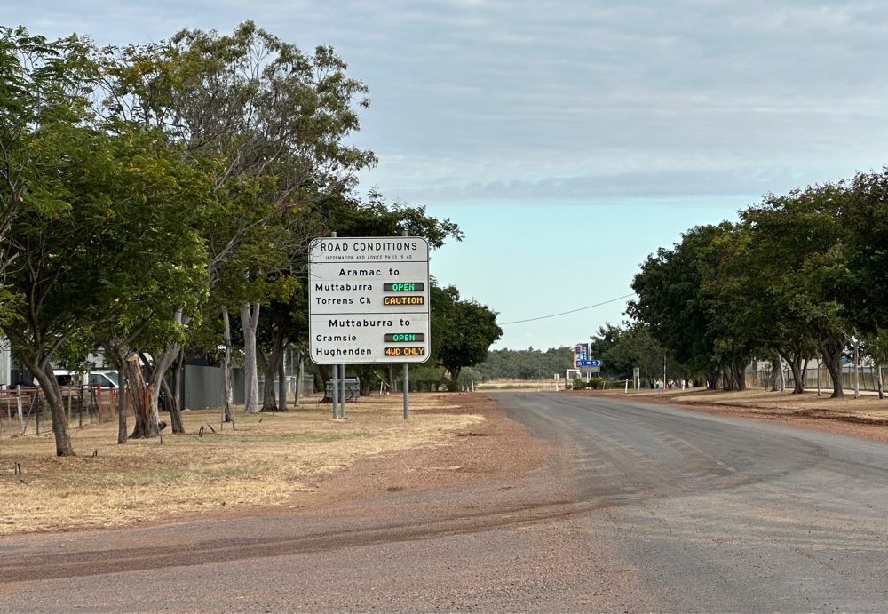
Just on the edge of the town, there’s a sign telling people the state of the roads. I’ve seen these signs at every town as I’ve gone through it, and I think they’re pretty good!


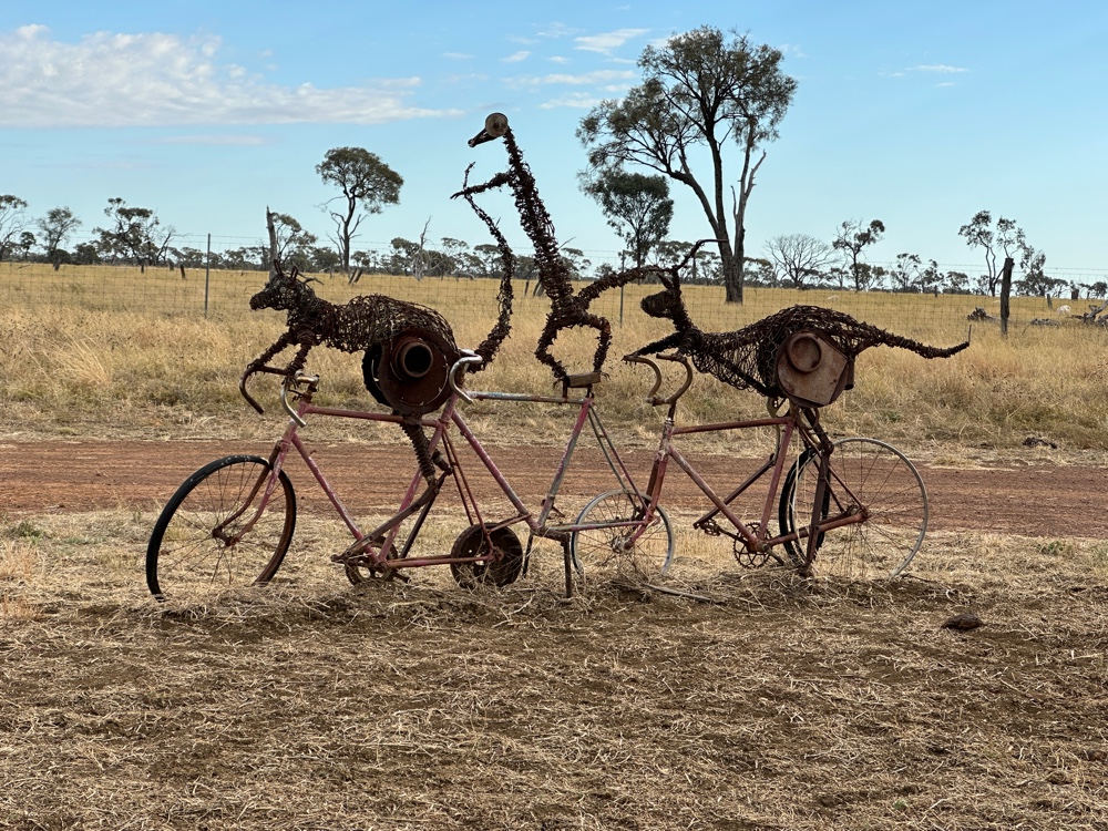
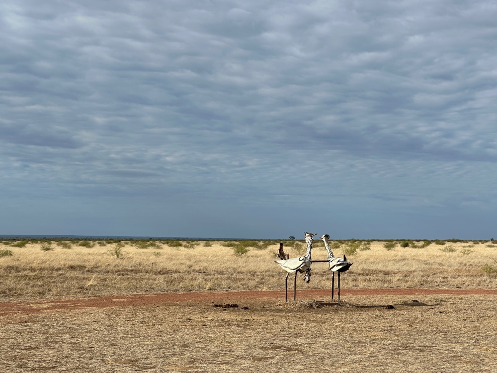
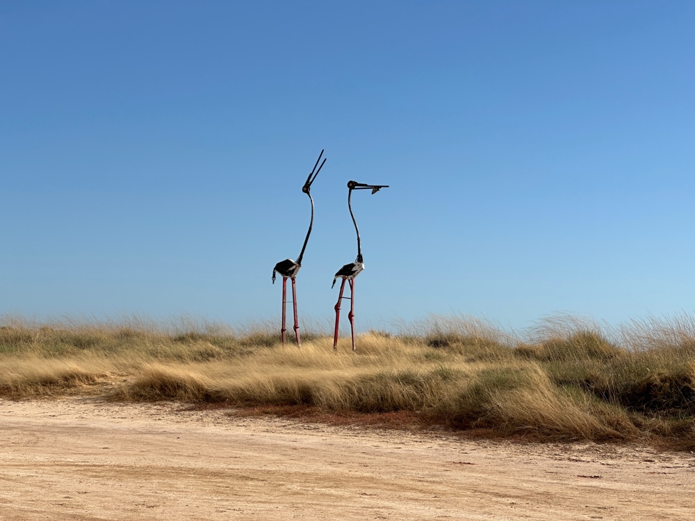
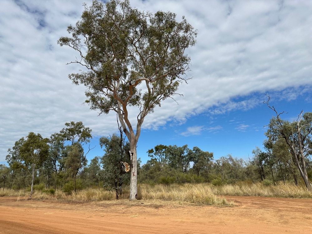
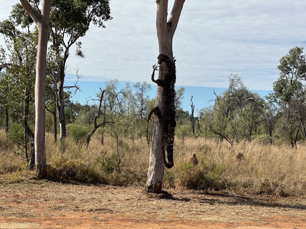
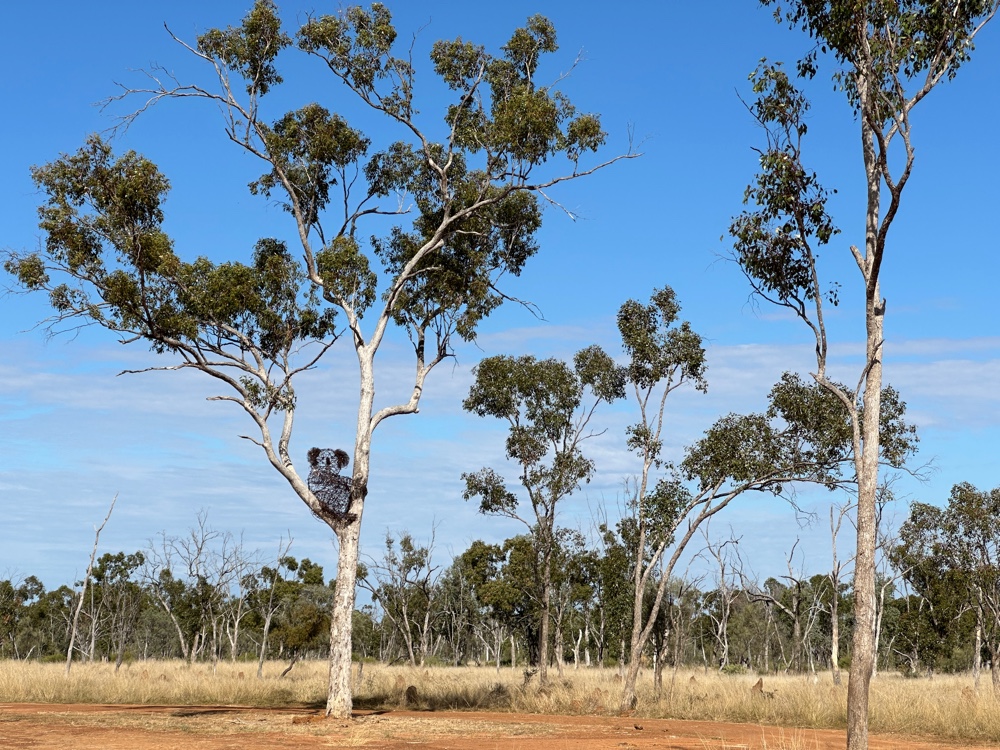
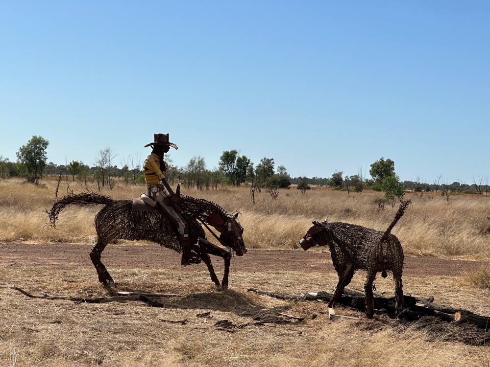
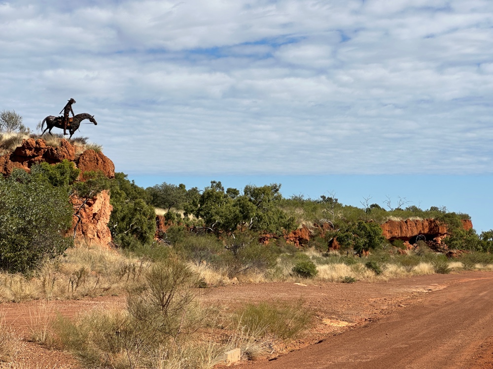
However, the other reason I visited Aramac was to see the 200km sculpture loop. This was fantastic! Milynda Rogers has created 40 sculptures and placed them along three roads, forming a triangle. Most of the sculptures are impeccably located and beautifully executed. They enhance a scenic drive. Only one of the roads is paved, and the recent rains have made short sections of the dirt roads somewhat challenging to drive, as the churned up mud has solidified. But it was still very worthwhile.


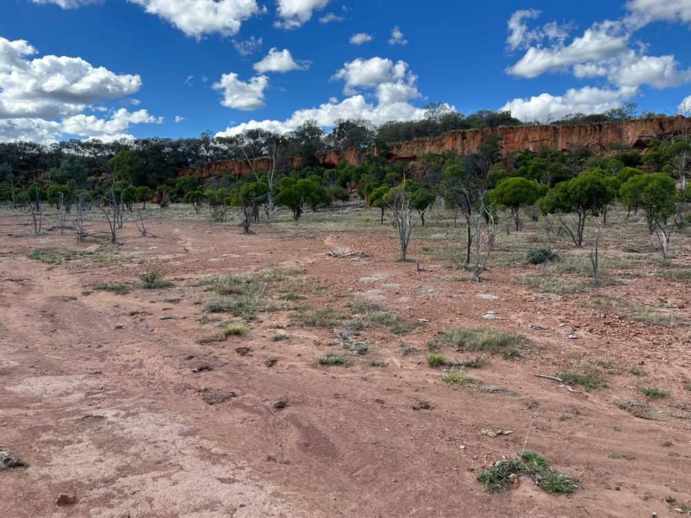
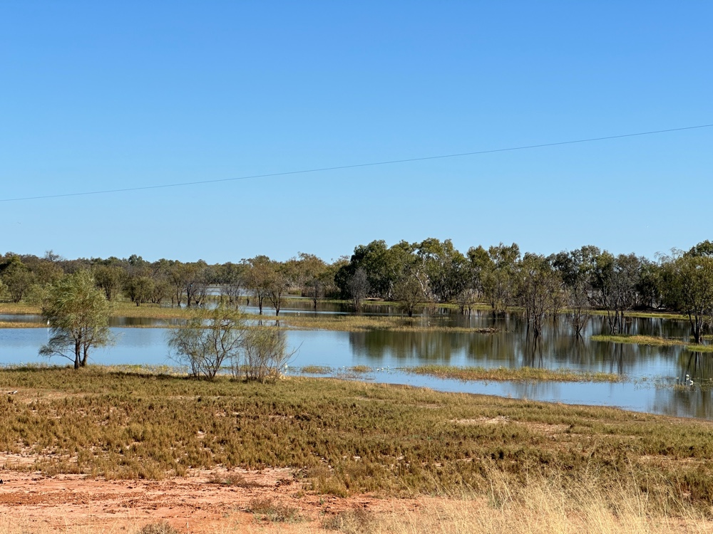
While I was on the loop, I saw Lake Dunn.


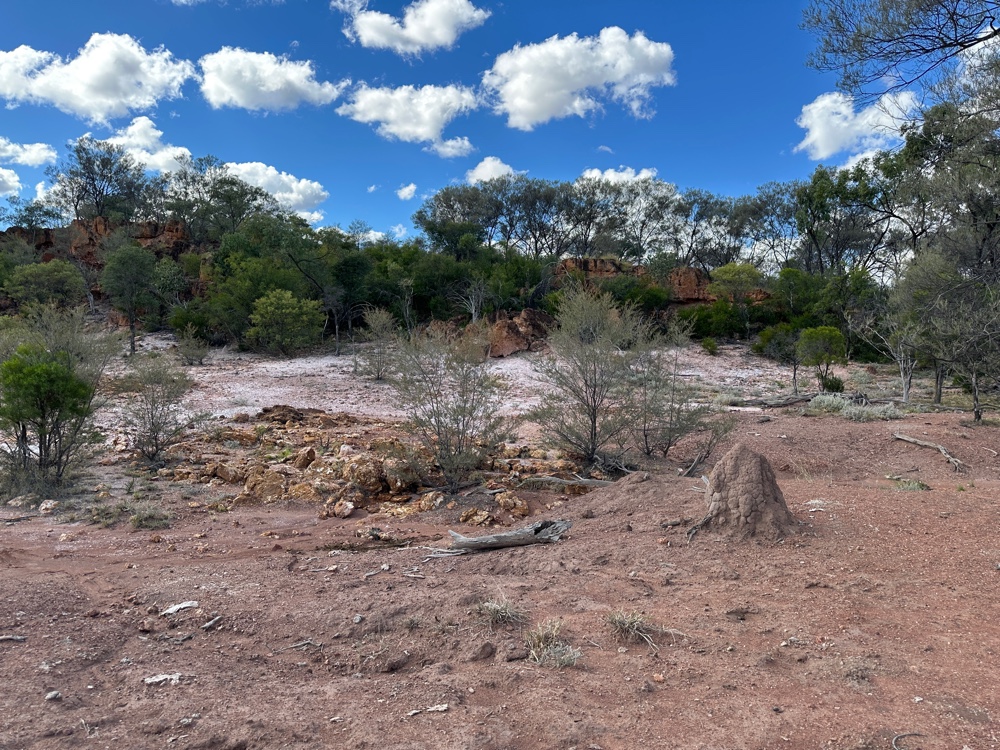
And I’ve obviously reached anthill country.