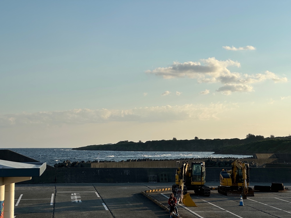
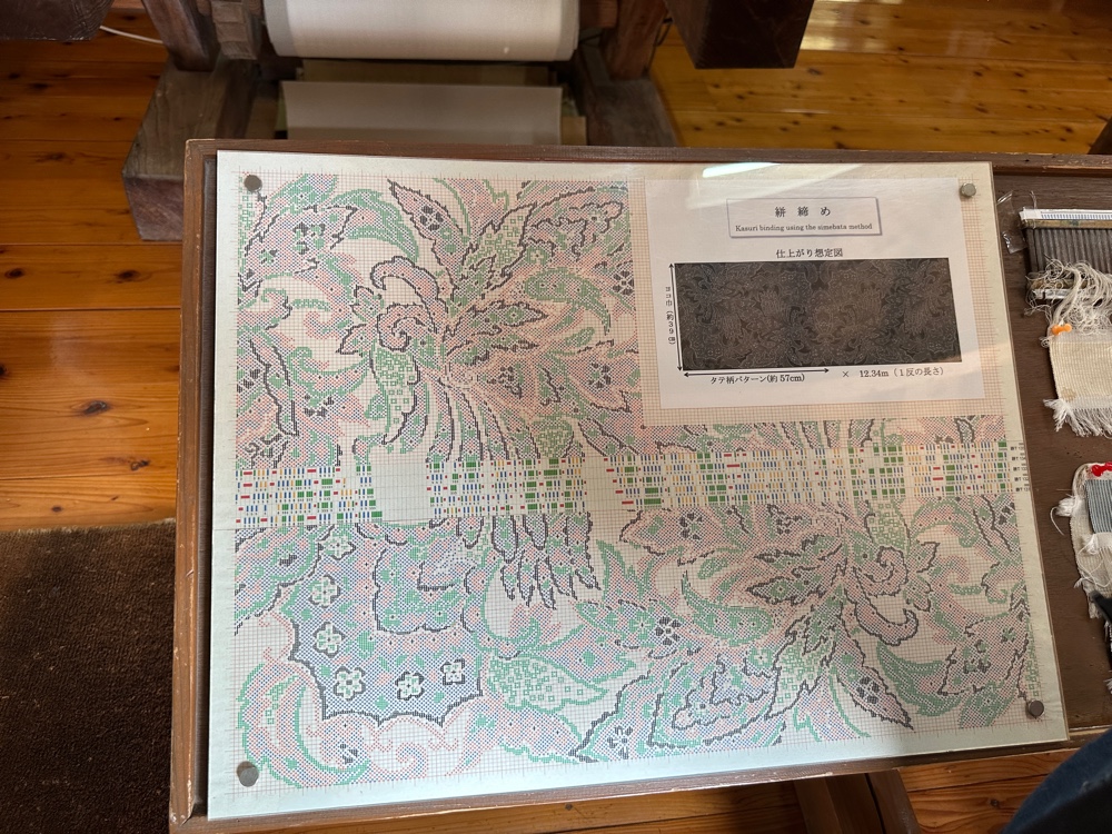
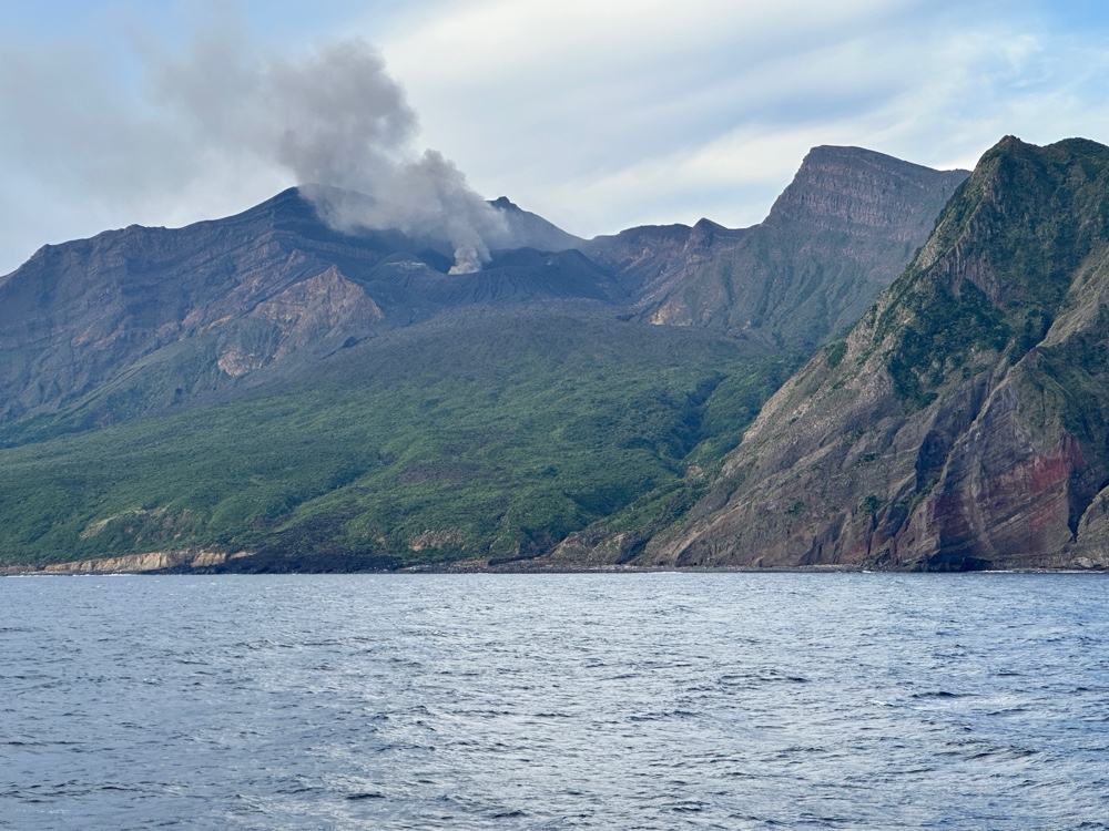
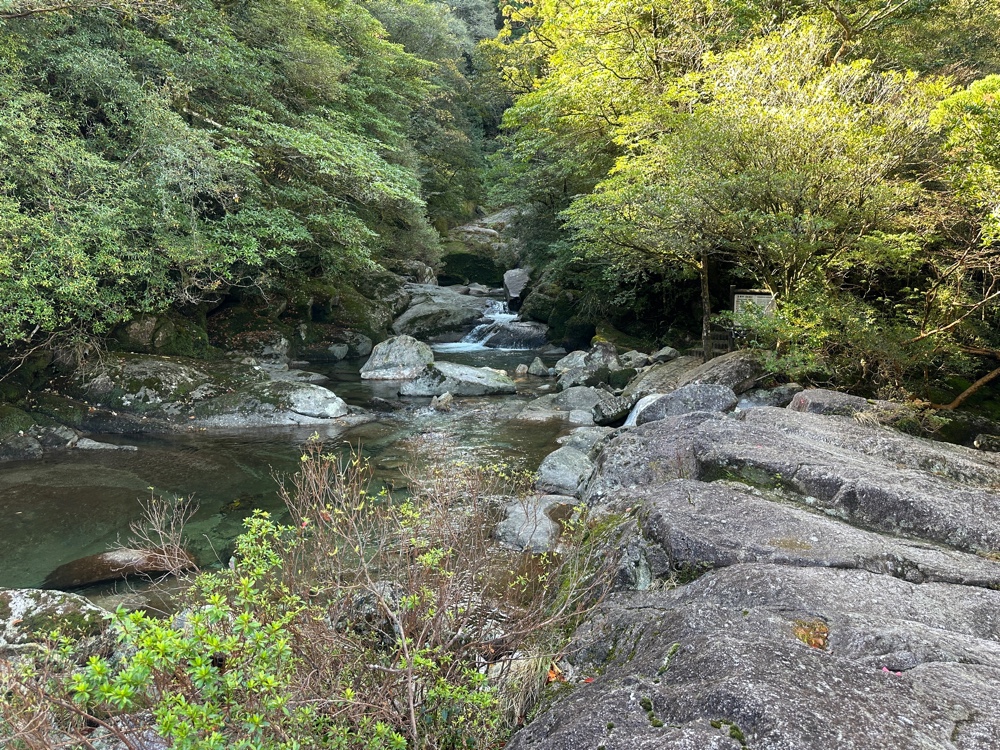
Today we’re at Amami Oshima which has the second largest mangrove forest in Japan. We docked this morning, and went to Oshima Tsumugimura to see traditional Tsumugi silk being made. This is a very long, labour intensive precision dying and weaving process. Firstly, silk thread is wound into bundles the width of the weft of a loom (the thread is very long, as it will be used in either the warp or weft of the final cloth). These bundles are woven into a cotton fabric. 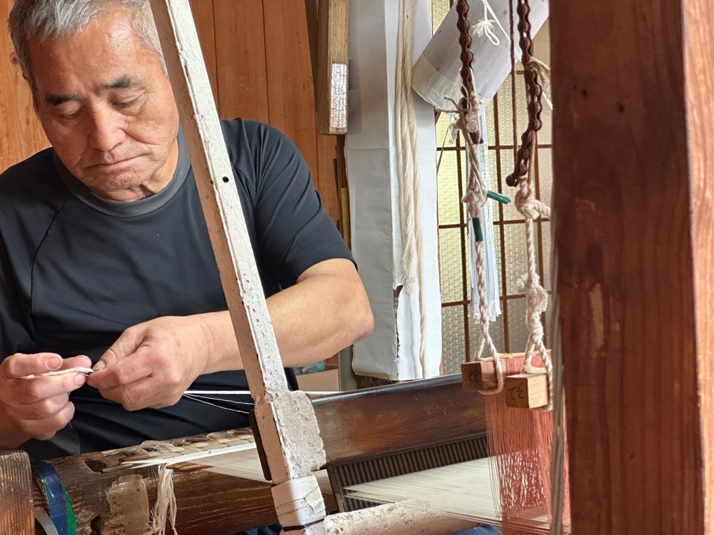 Starch is precisely applied to this cotton and silk fabric to act as a resist in the dying process so that exact parts of the silk thread will be undyed.
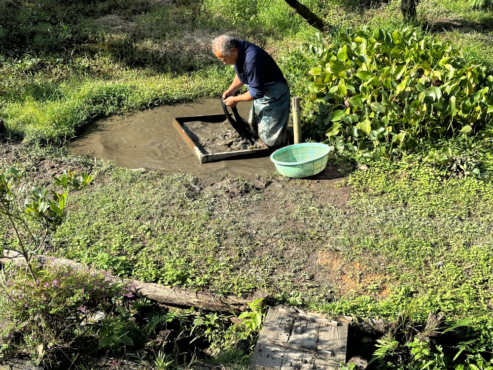
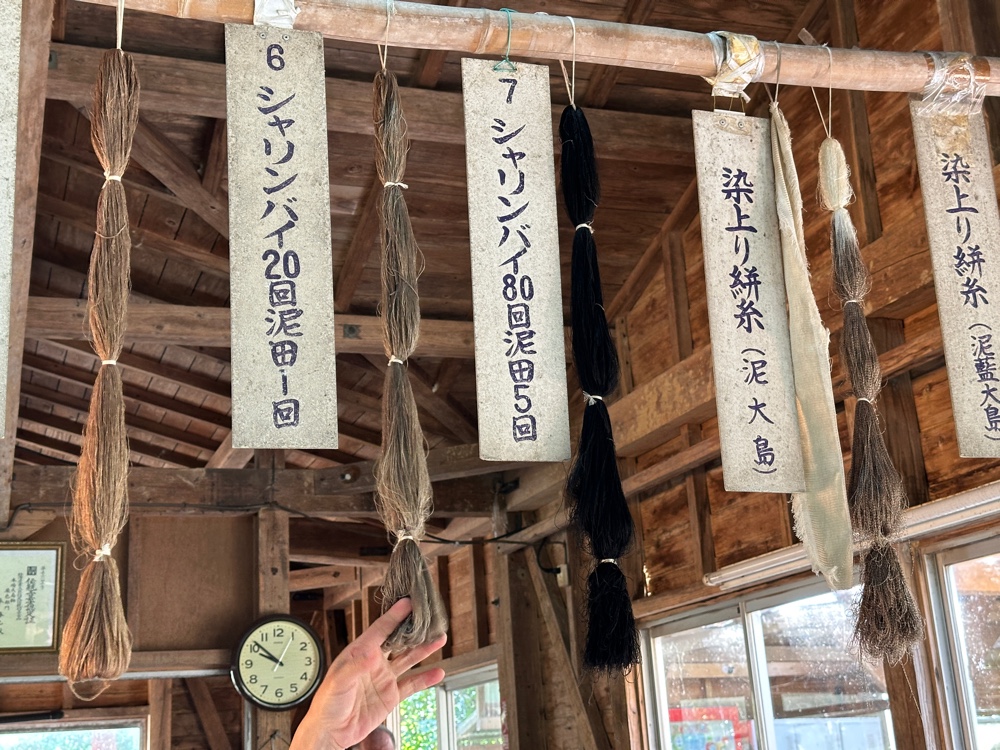
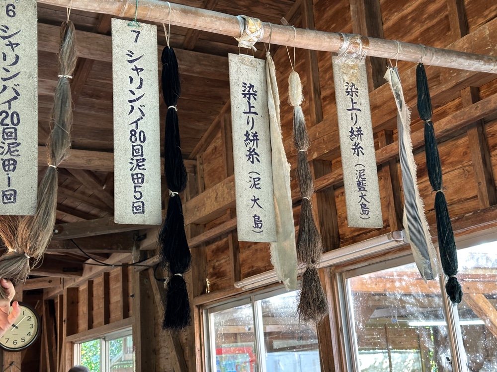
 Before the cotton and silk fabric is dyed, it is washed in a mineral rich mud for between five and twenty minutes. I think the mud acts as a mordant, and, like many mordants, it changes the colour produced by the dye.
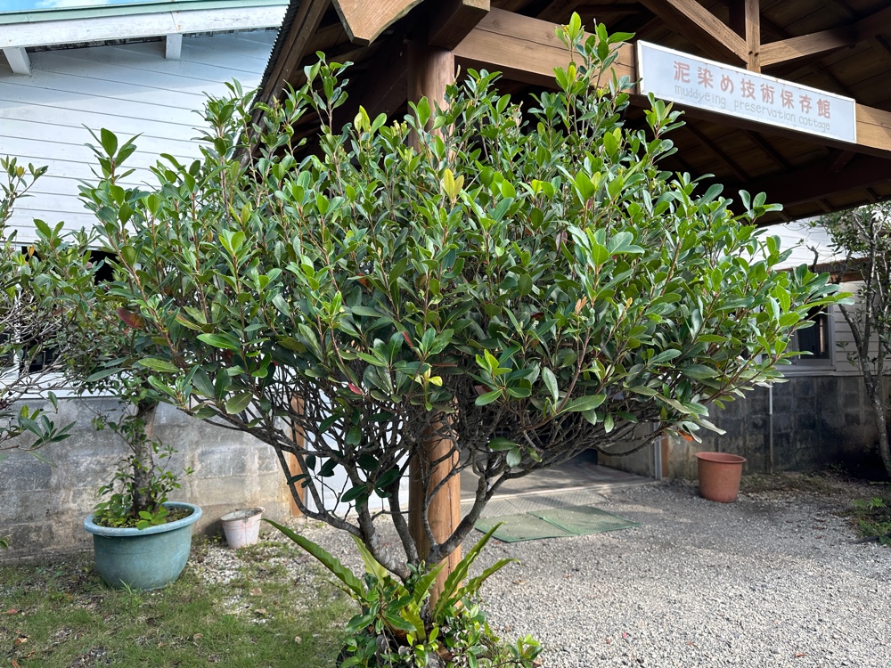
The dye is made from pieces of wood from this tree,
which are then chipped and boiled for two hours
to create a vat full of dye.
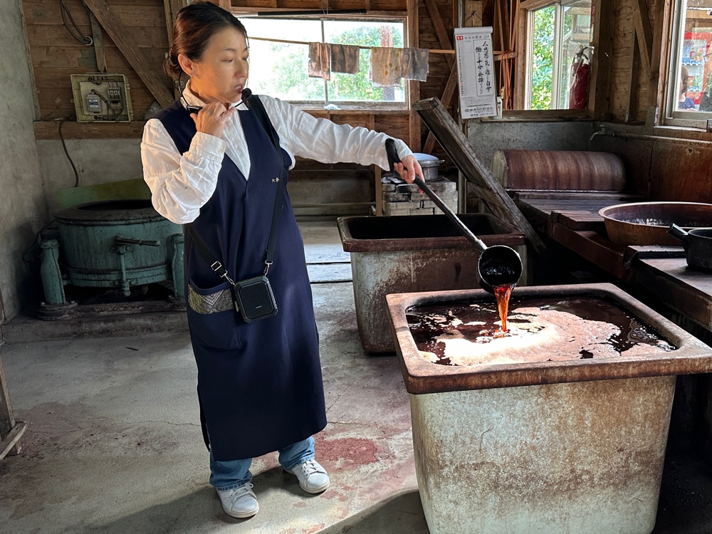
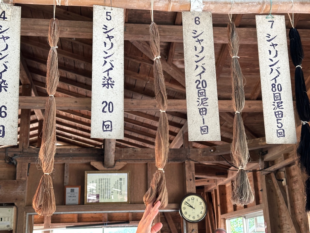
The cotton and silk fabric is dipped repeatedly into the dye vat (between one and five times), and then dried. The dye will give it colours ranging from brown to black. The silk bundles in the pictures show how the colour varies depending on the amount of dipping.
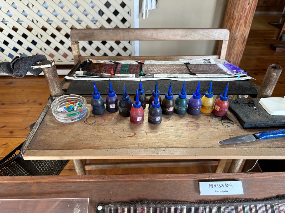
If other colours are wanted, once the starch has been removed, areas of the silk are coloured.
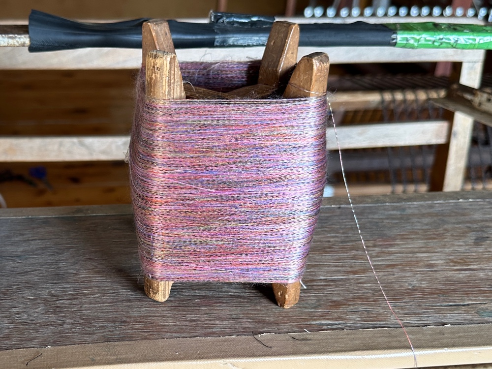
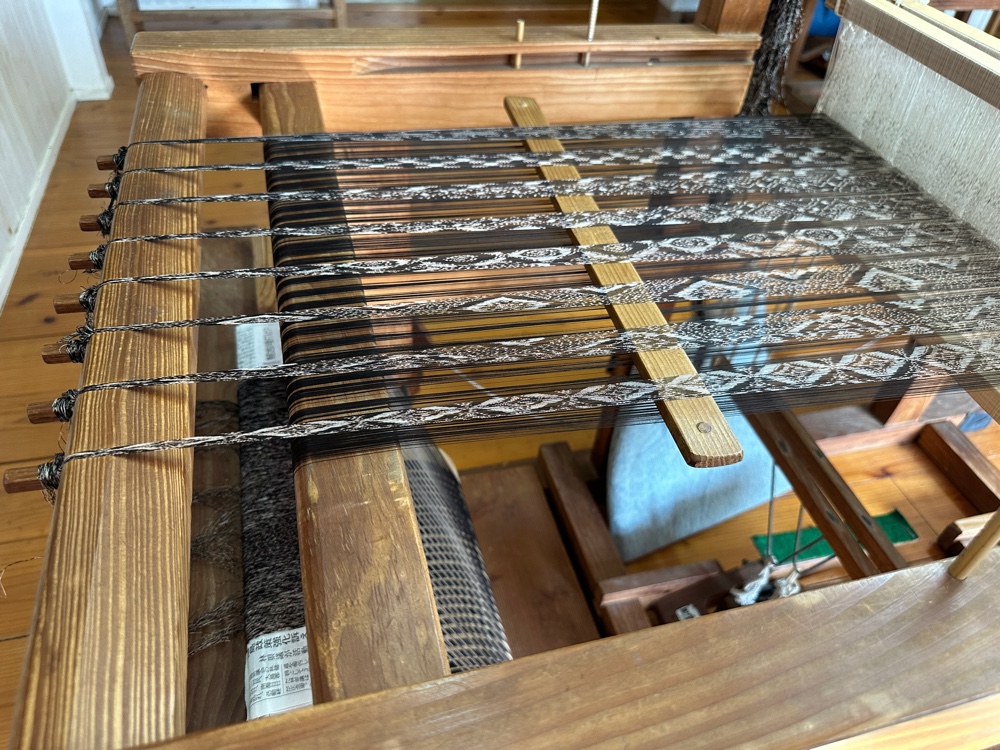
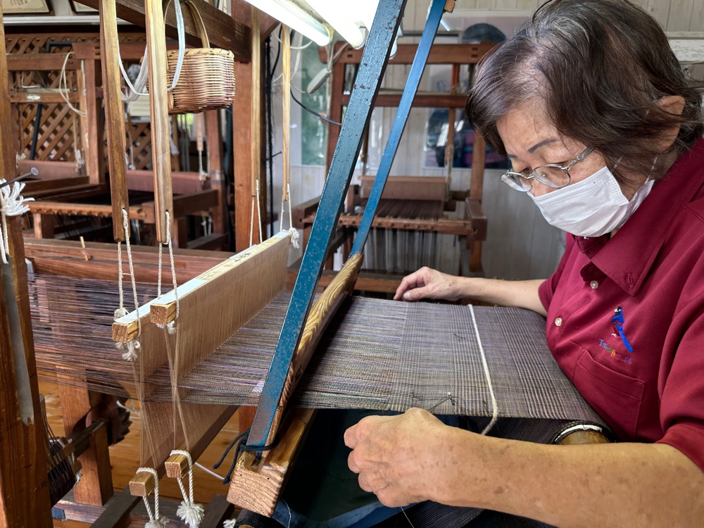
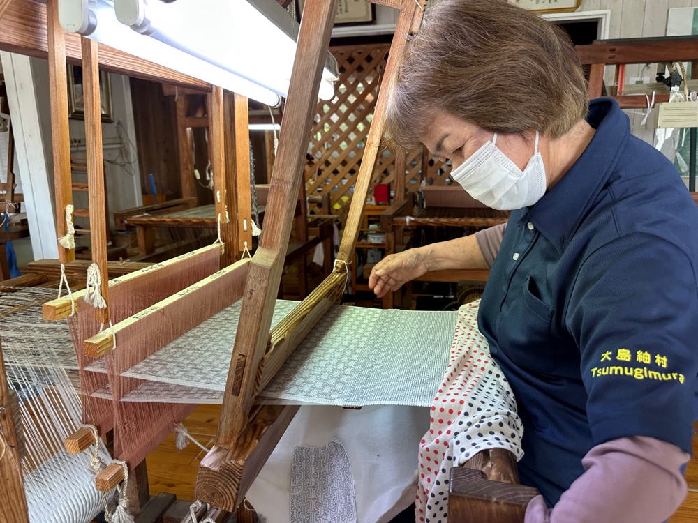
The cotton and silk fabric is then cut and the cotton is discarded, while the silk is wrapped on spools. The silk that is to be the warp is used to dress the loom.
Then the weavers weave the weft threads which have also come from a cotton and silk fabric that’s been through the process.
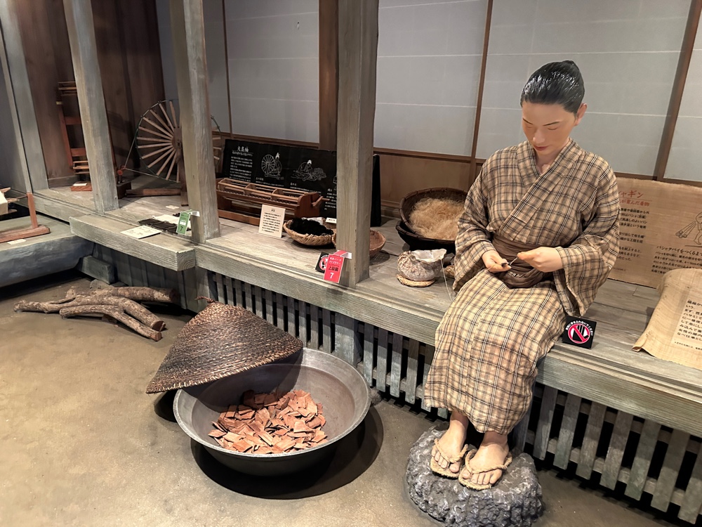
The weavers check every thread they weave to ensure its placement is correct.
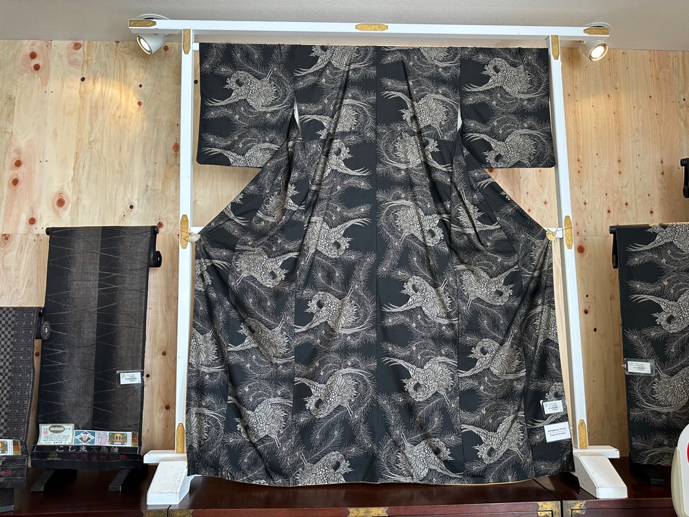
The resulting pure silk fabric would have to be some of the most expensive, given the process. I was really happy that I’d been able to visit.
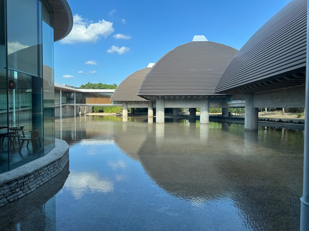
After we finished there, we visited the Tanaka Isson Art Museum, dedicated to the vibrant work of this renowned artist. The building was very interesting, and, although we weren’t allowed to take photos, they allowed me to take a photo of the building from inside.
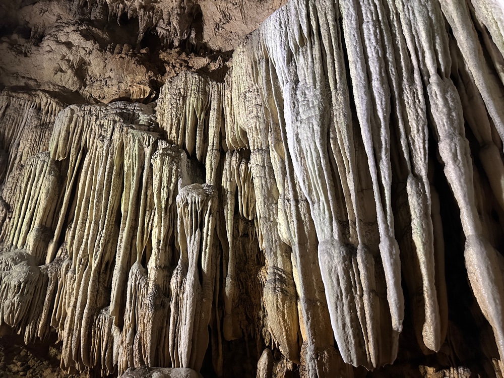
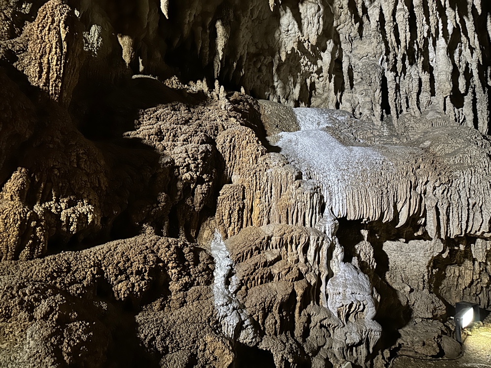
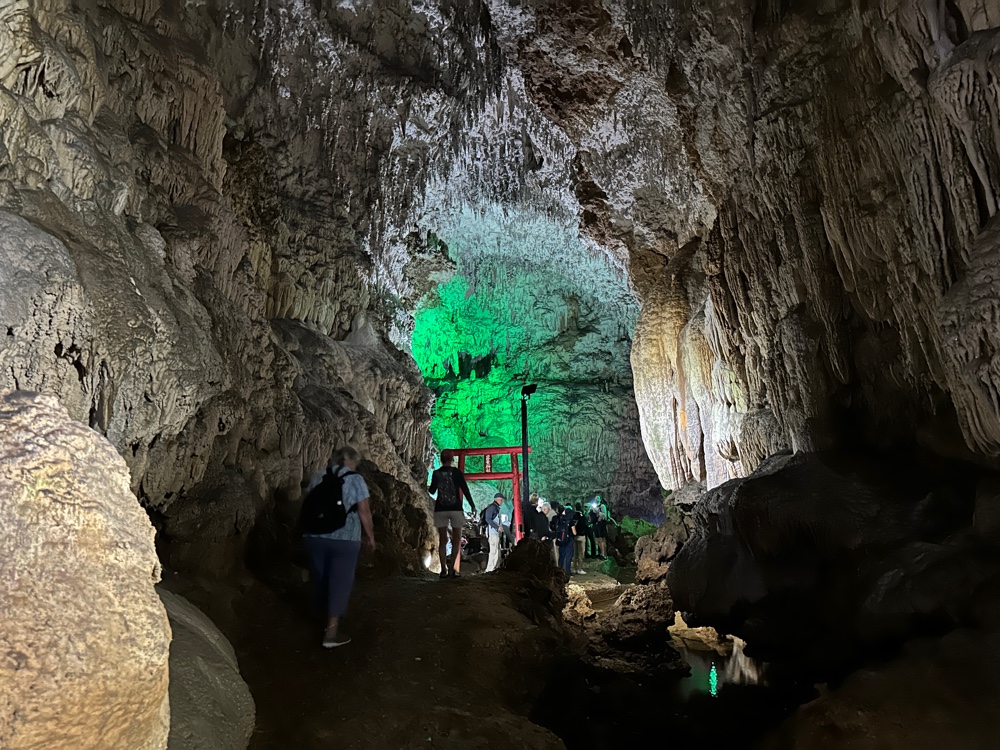
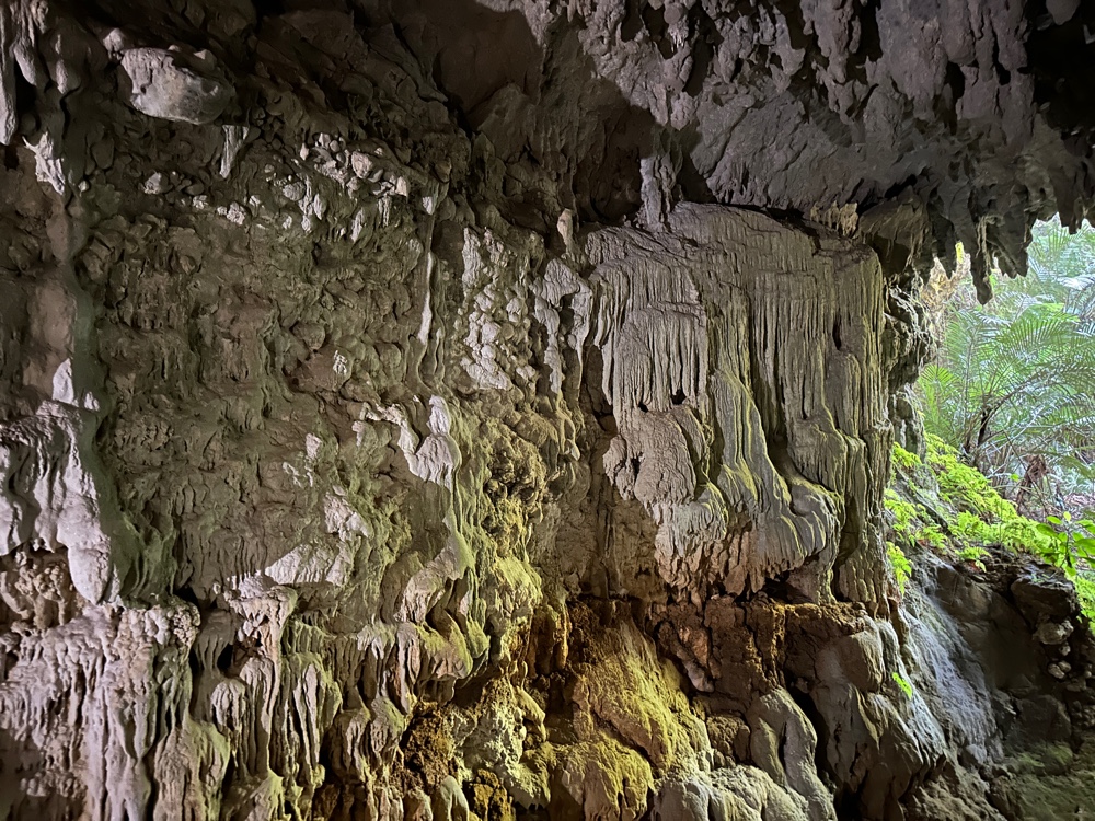
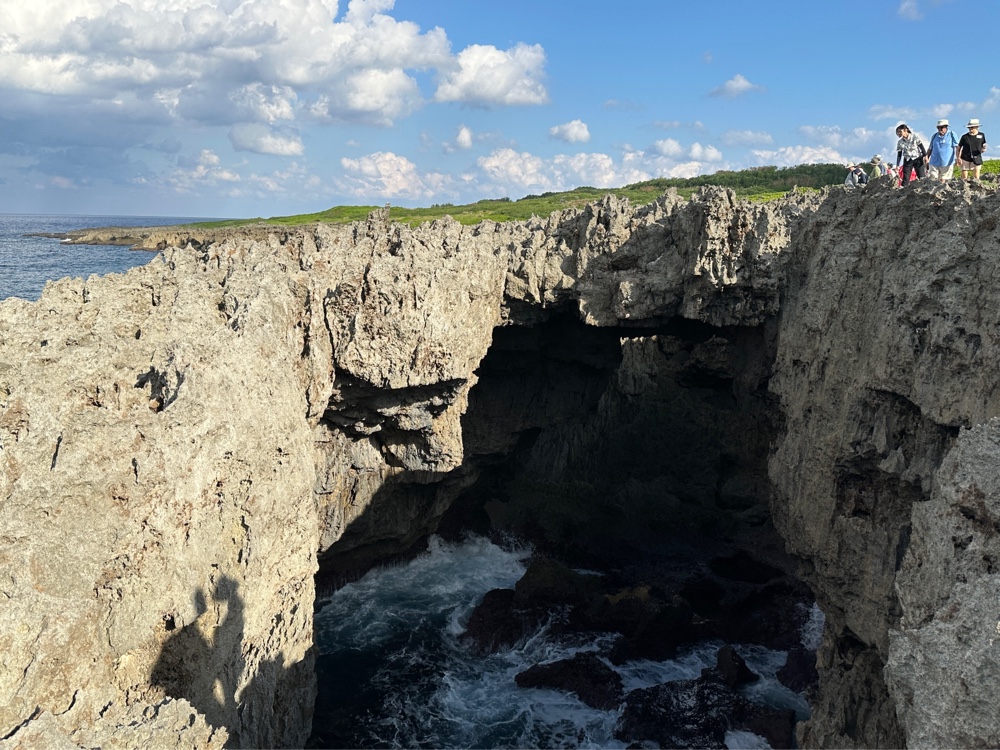
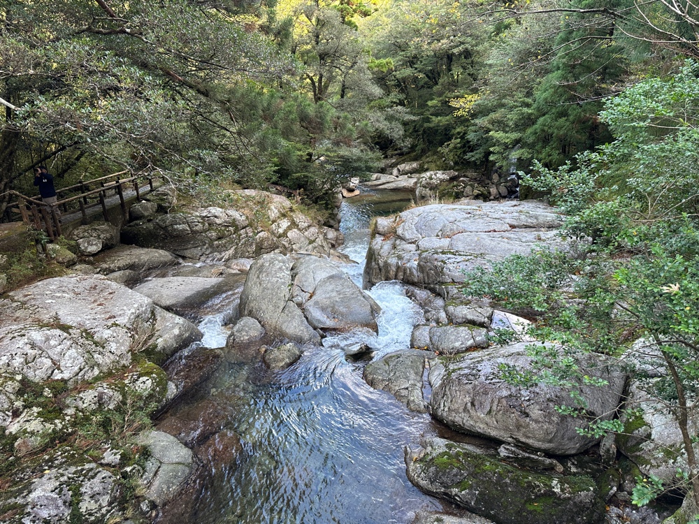
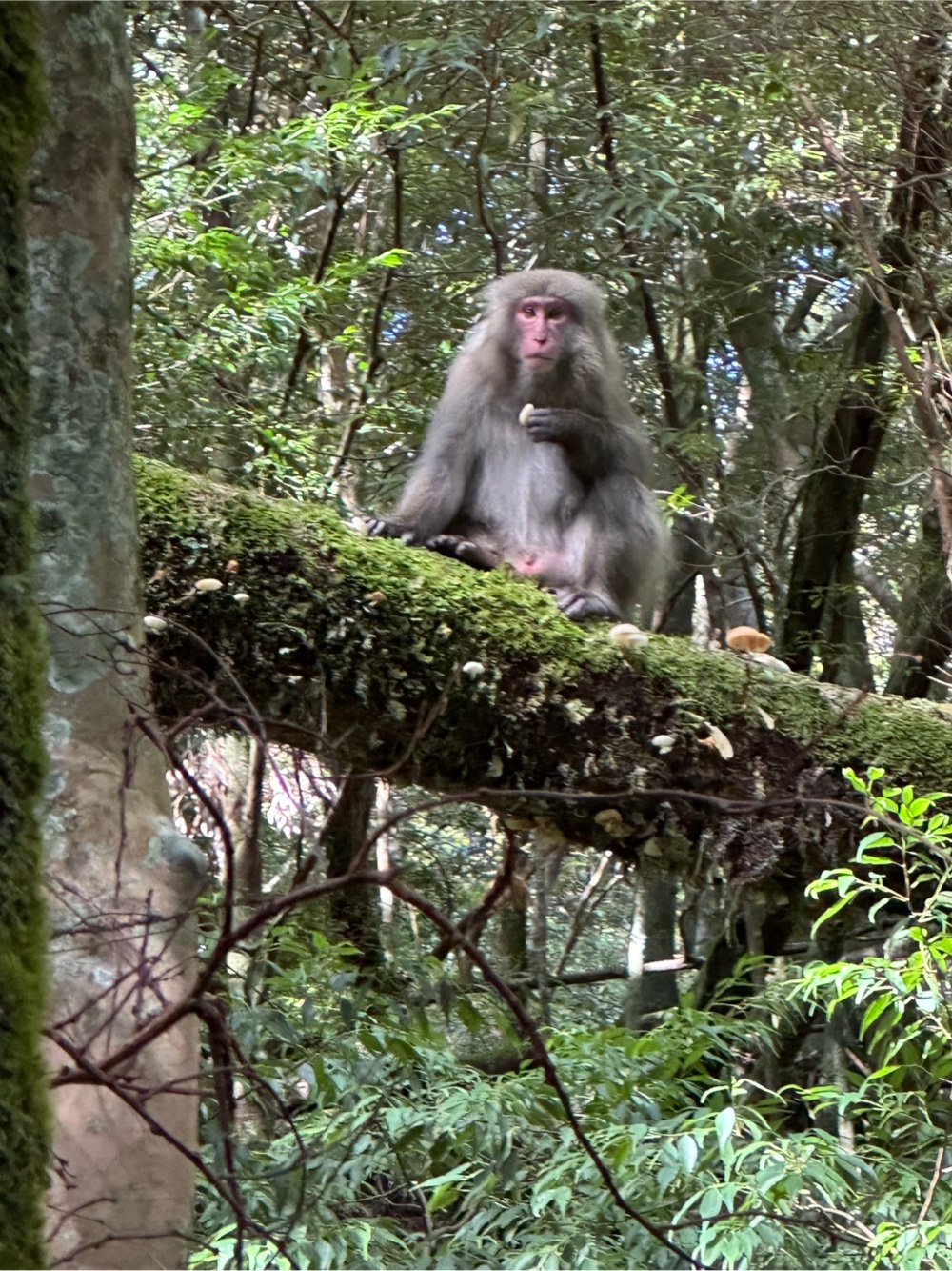
I visited a museum that depicted life on the island in the afternoon.
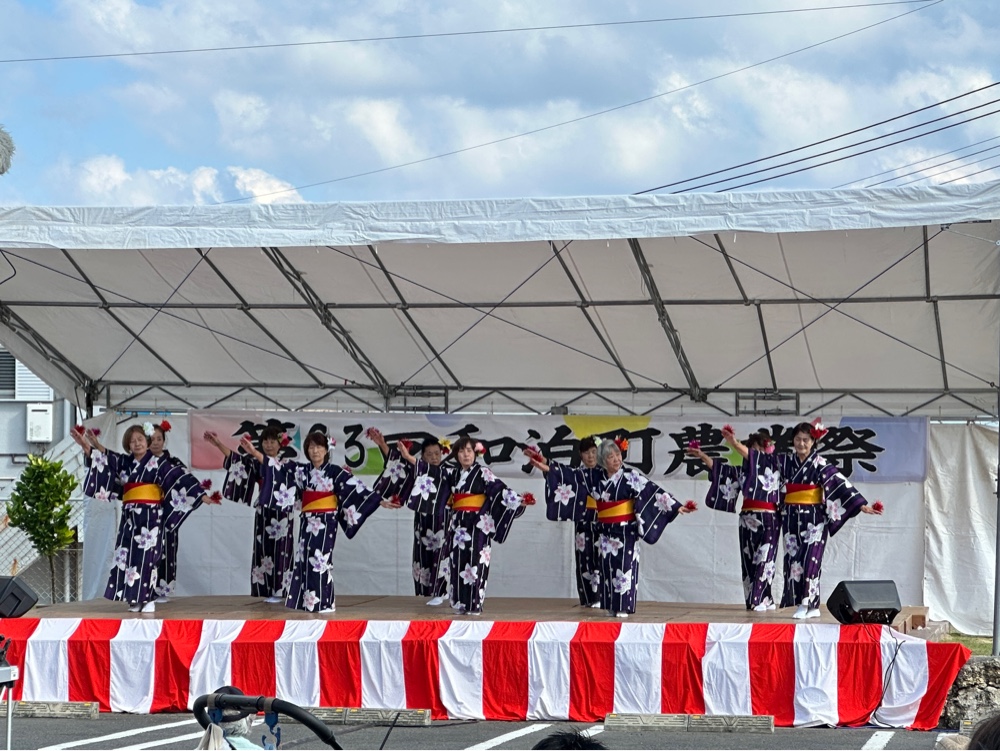
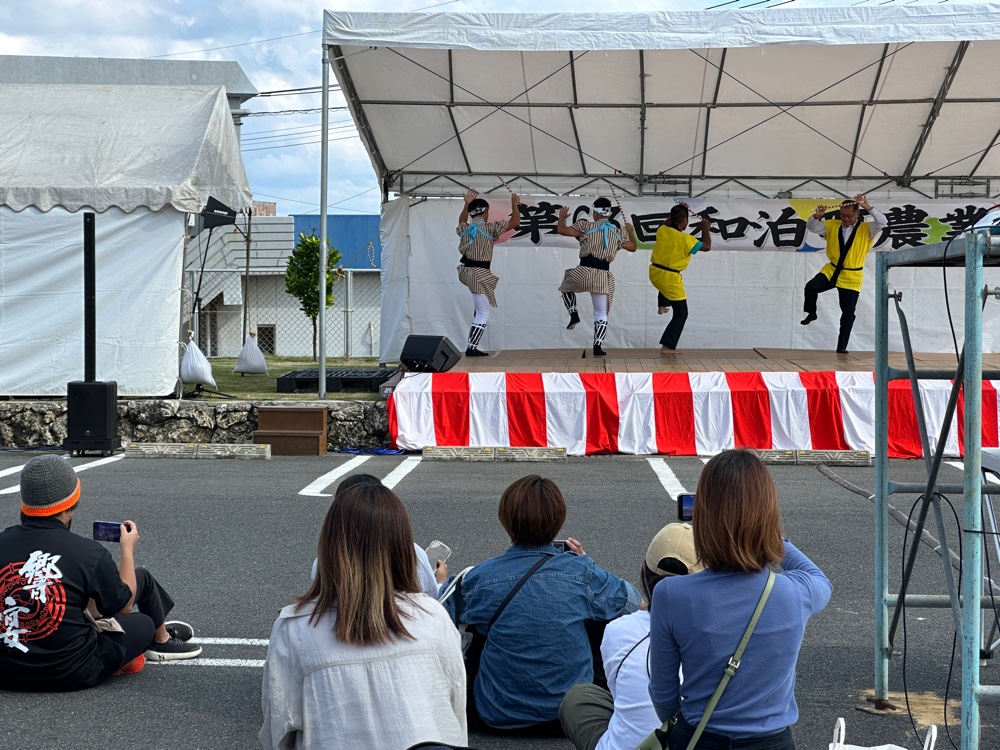
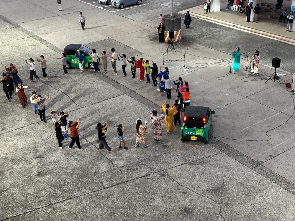
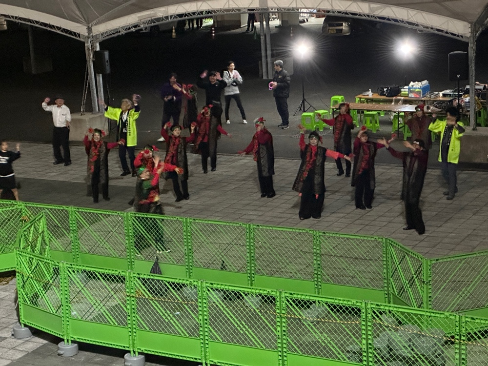
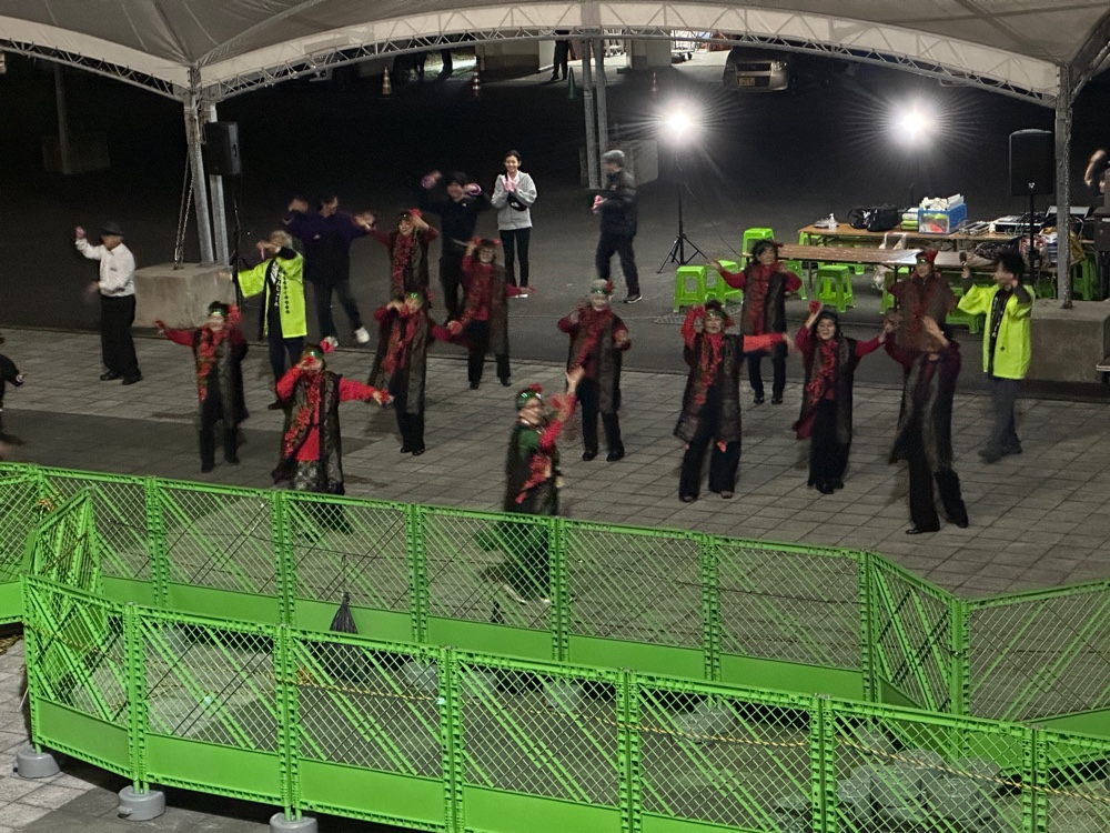
At night, the local people gave us a dance display wearing traditional costumes as we prepared to depart. Like most of the islands, before the Japanese took over, it was a matrilineal society, with female priestesses at the top echelon of society.