Sunday, 26 August 2018

The Beach Road

Carmanville Wetlands were a surprise on my route today. The pond is conserved due to the numbers of birds, but I didn’t see any. However, the walk through the woods to the pond was quite attractive - reminiscent of a Japanese garden.

The road revealed many bays - they must be quite shallow because they were studded with rocks in the middle of the water. Then, at Deadmans Bay, I actually found sandy beaches!

Next, I visited Barbour Heritage Village in Newtown. The Barbour were a very successful merchant family. Newtown is on a number of islands, and is called the Venice of Newfoundland - it was lovely.

Lastly I visited the most easterly national park in Canada - Terra Nova - which protects a boreal forest and the associated water lands.


Saturday, 25 August 2018

Dispossession

At the time of European settlement of Newfoundland, the indigenous people appear to have all been Beothuks. There were only ever around 1000, and the last one died in 1829. They were mainly a coastal people, perhaps living inland in winter, and when Atlantic Salmon fisheries blocked off every single estuary, they couldn’t get to the coast, and started to fight. Within a few decades they were gone.

Today I visited the Beothuk interpretation centre, located near a partly excavated village that was lived in all seasons except perhaps winter between 1650 and 1720. European fishermen were visiting the area during summer each year during this time, and the Beothuks foraged metal (mainly nails) from the camps when they were abandoned each year.  The metals were repurposed into tools. Archeologists found an amazing number of artefacts during their excavation, and some are in the centre. I particularly liked the fact that some of their designs had been reproduced along the edges of the information panels.

There was also a painting of what the excavated area may have looked like. They were real red indians, as they painted themselves with red ochre.

I visited the site, and took pictures at the site and the harbour where they would have pulled up their boats.

Later I visited a fishing museum. In the 1960s Newfoundland decided to close an enormous number of fishing villages - those with no road access. The museum was created by a man who had been a boy when his family was relocated, and it shows the way of life, the isolation problems, and how some of the buildings were moved to this location.


Friday, 24 August 2018

Fleur de Lys

When I left, it was still cloudy with a bit of rain.

I had a long drive today because I wanted to see the Dorset Inuit soapstone mines. The Inuit make most of their pots from soapstone, whereas other native groups don’t, so if an archeologist finds some at a site, they can be fairly confident that Inuits were at the site - that’s how Dr Fitzhugh knew that Inuits were working with the Basques at St Paul’s River. 

This site is the biggest soapstone mine in Newfoundland, and one of the earliest. Quite a number of the blocks have been left partly extracted, so the entire technique can be seen. Unfortunately the museum was closed. However, it was a beautiful sunny day, and I walked to the lookout over the town, and on a separate path to the ocean.


Part of the trip was on the Trans Canadian Highway which goes along the middle of Newfoundland, and wasn’t scenic, but the drive to Fleur de Lys was very nice, and the Road to the Isles was even better.


Thursday, 23 August 2018

Point au Choix

Point au Choix is a place where everyone settled. A bloke was digging to build a cinema in the middle of town when he struck human bones. It was a graveyard of the first people known in this area - the only one ever found, with over a hundred ritual burials.


After that, many more sites, of all the peoples who lived in Newfoundland have been found on this small peninsula. No other cemeteries, but houses... I took several pictures of different sites. They’re not interesting, just depressions in the ground, but it’s a very exciting place.

After that, I stopped at the Arches - dolomite rocks shaped by the sea.

Next I visited Green Point, the other geological site that makes Gros Morne a world heritage area. The fossils in these cliffs show the transition between the Cambrian and the Ordovician periods so well that it is the geological benchmark site for the transition.

Then I visited a lighthouse, and took pictures of the scenery. The last picture is from where I’m staying with the mantle tablelands showing.

It was very windy and it rained most of the day, so the pictures are a bit bleak. Tomorrow I head east, and will bid farewell to the West Coast of Newfoundland - that’s why I backtracked to Gros Morne today.


Wednesday, 22 August 2018

Fog

My plans for today didn’t work out, as the area was quite foggy and damp. Walking to all the scenic lookouts isn’t the best thing to do in such weather. So I visited the murals in the hospital, and the polar bear that terrorised the neighbourhood in 1984.

I then drove a loop that was suggested in my notes (I’m not that keen on the notes after several poor suggestions, but there have been some good ones that I didn’t know about beforehand), and went by the town of Main Brook. I also managed to take a photo of wood by the road.

There were some more roadworks being done. If you look at that picture you can see how dense the trees grow, so it’s no wonder that the locals like to use the roadside strips for other things. I even saw a cemetery today that was located in the roadside strip!

Although it had been sunny, as soon as I neared town, the fog was still there. So I won’t do anything else. It will be a long day tomorrow. I plan to see an important archeological dig and the other important geological site in Gros Morne National Park that contributed to it being a world heritage area, and I’ll be staying again at the place I stayed in Gros Morne, which is several hours drive away.


Tuesday, 21 August 2018

Vikings

L’anse au Meadows is the only site in North America where Vikings have been confirmed. Over 1000 years ago, Leif Eriksson landed here, and they built three halls and a number of other structures. They estimate that the buildings were used on and off for about ten years, then they were torched.

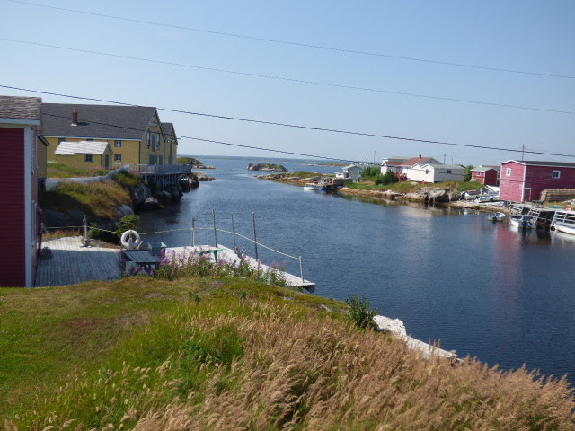
The site is at the very northern end of Newfoundland. To me it looks very similar to the location of the first site in Iceland - a flat marshy area with a safe easily recognised harbour.

The halls are much bigger than I expected. Both of Eric the Red’s dwellings (in Iceland and Greenland) were less than half the size of the smallest hall, yet they would have been home to a similar number of people. And Leif’s Hall is really big! It even includes a sauna! And a boat shed.

They have created reproductions of the smallest Hall and its associated buildings.

I visited a reproduction of a Viking trading port where I was taken pretending to be the chieftain’s wife. The boathouse is also from there.

Later, I went to what might be the most northerly part of Newfoundland, a place called Cook’s landing, as Captain Cook charted the coast of Newfoundland in the 1760’s.

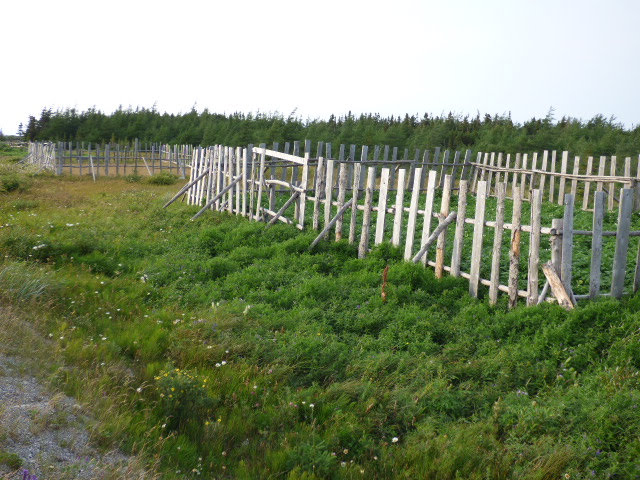
Lastly, I have included a photo of some vegetable gardens on the side of the road. Newfoundland roadsides are fair game - both vegetable gardens and enormous piles of firewood appear at random points along them - nowhere near a house. Everyone knows whose wood or cabbages are whose, and none are stolen.

Back to Newfoundland

This morning I left Red Bay, but first I decided to go to the top of Pigeon Hill. It was a board walk the entire way (as are most paths around here) because the plants are so fragile - it takes years for them to grow, and the tundra around Red Bay is mainly mosses and associated small plants. The boardwalk says it’s 862 steps at the bottom, but it gave a superb view of Red Bay and the coastline in the other direction. The boardwalk went past Captain Kidd’s pond which is supposed to have his pirate treasure.

I went back along the coast and visited the L’ance au Loup museum which includes a collection of artefacts from the 7000 year old gravesite I visited on the way.

When I got to the ferry, I had 45 minutes to spare, so I visited the nearby waterfall (time is tricky here because it is Quebec but the ferry runs on Labrador time which is one and a half hours later, so the car GPS was telling me I had over 2 hours before the ferry departed).

I visited the museum at Bird Cove at Plum Point where they have an incredible display of items found across the road - ranging from fossils the same age as the Flinders Ranges, through 4000 year old Inuit tools and other indigenous artefacts through the Basque fishermen and modern day inhabitants.


Lastly, I visited Flower Cove and the Thrombolites.