Friday 30 September 2022

Cap Tourmente Wildlife Area and Hautes Gourges de La Rivière Malbaie

At the moment I’m not seeing places every day. I picked my friend from Australia up very late, so the next day we had a lazy day, but at the end of the day we had a drive to see if the Cap Tourmente wildlife area was interesting.

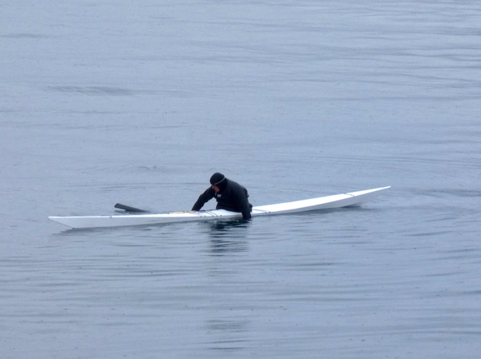
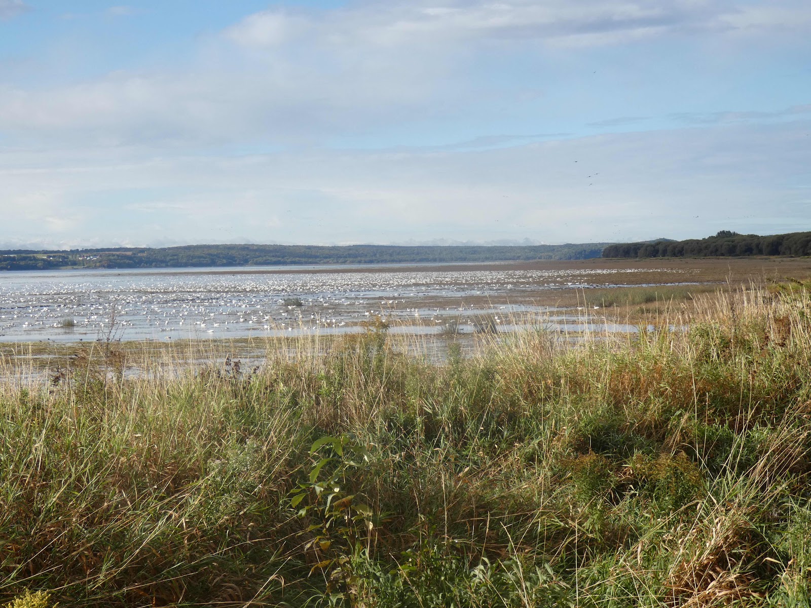
It had just shut and we met one of the rangers at the gate as we were working out when it was open. She told us that we MUST come at 8:30am, when it opened and there was a high tide, to see the geese. So we dutifully arrived early the next morning, and took the incredibly slippery boardwalk to the marshes.

This park was protected because it’s a major resting site for migrating birds. The greater snow goose population got down to 3000, but with conservation measures, including the reservation of this park, it’s shot back up to a million. I wouldn’t be surprised if we saw them all. They were along the shore of the Saint Lawrence River as far as you could see. I’ve rarely seen so many birds in one place. This is where they rest between the Arctic circle and southern USA.


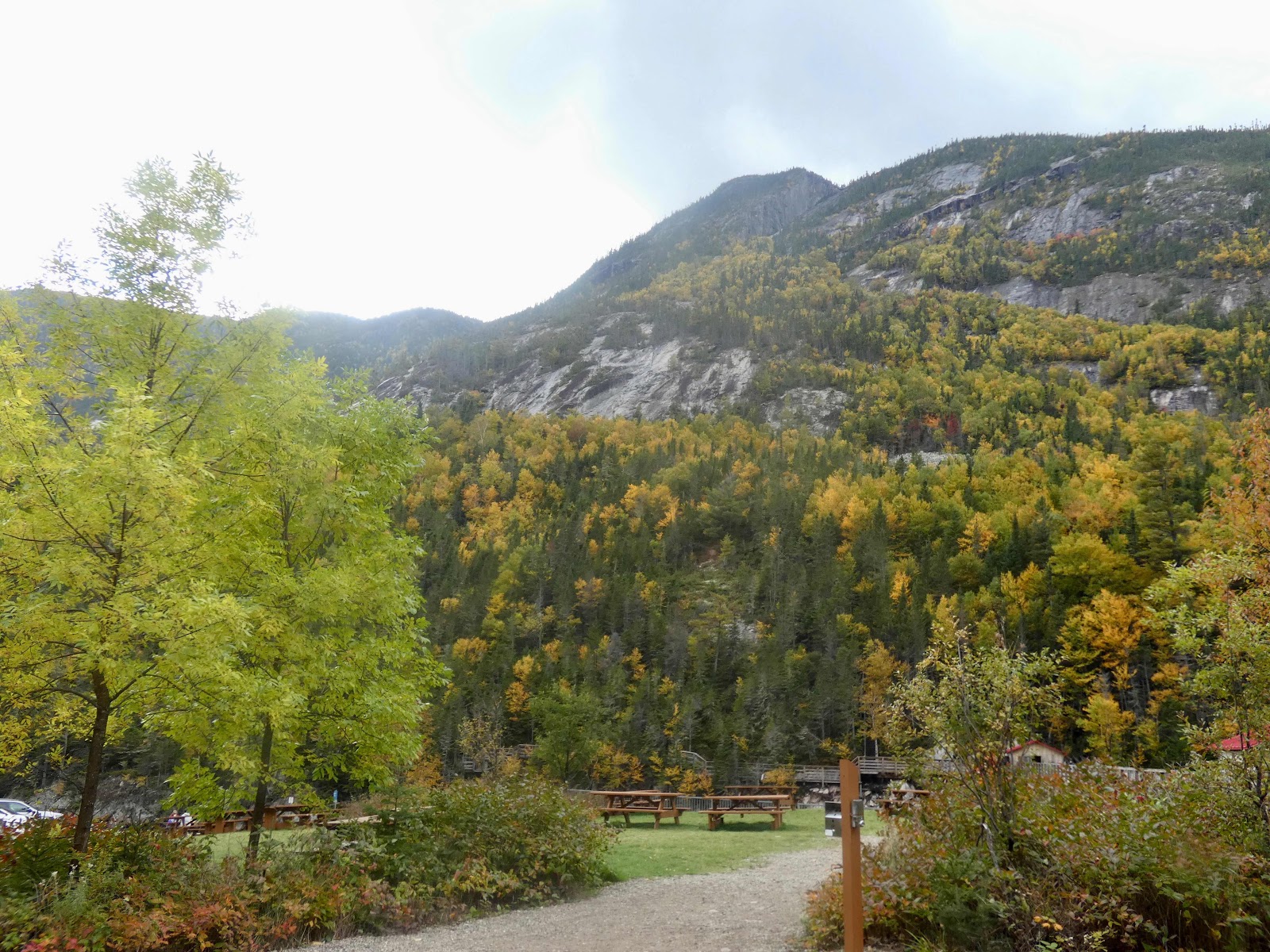
The last picture was taken from the lookout high above the marshes. The park protects three distinct areas, the marshes, the farmland which one of the first places farmed in Canada over 400 years ago, and is still farmed with traditional methods. And the forest high above.


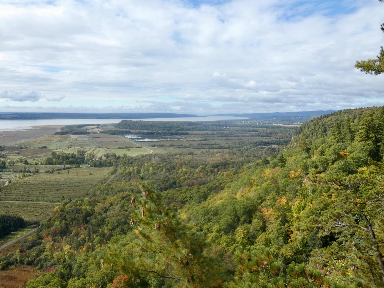
You can see the traditional layout of the farmland, used by the early French farmers - long fields with ditches to drain the water out, and defining the edges of each field.

To get to the lookout we went into the forest.


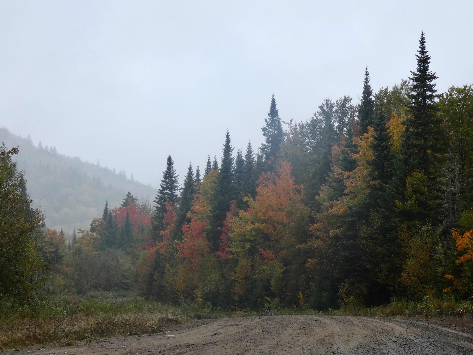
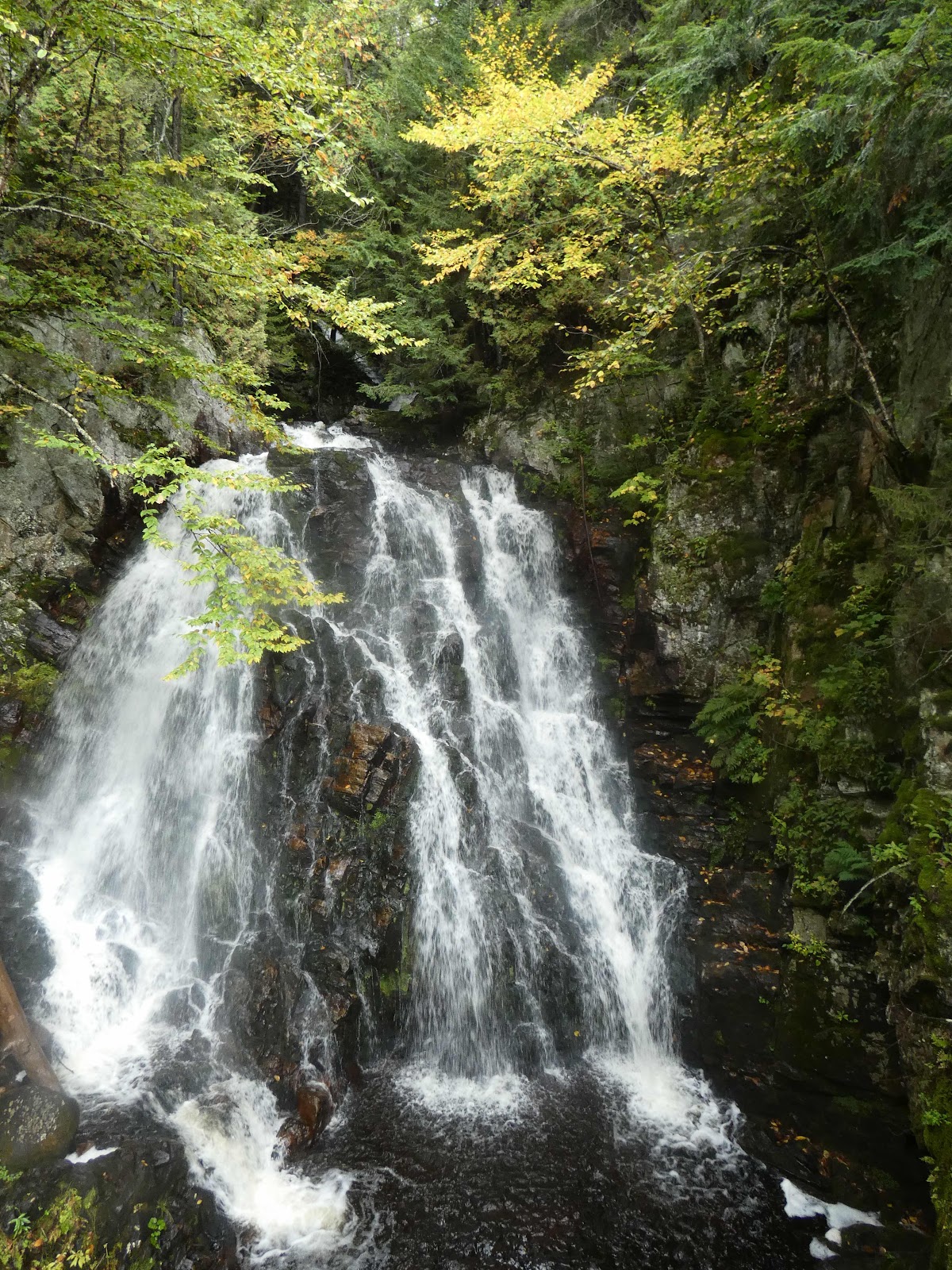
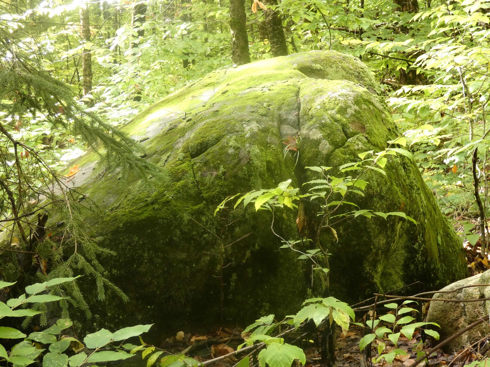
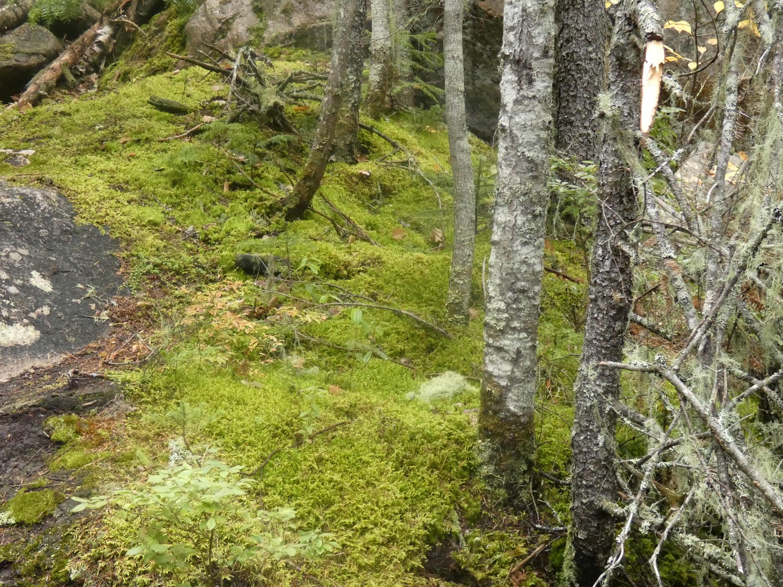
Walked up the escarpment to the first lookout where the previous pictures were taken. On the same level of the escarpment was a trail to three waterfalls, with lots of moss.


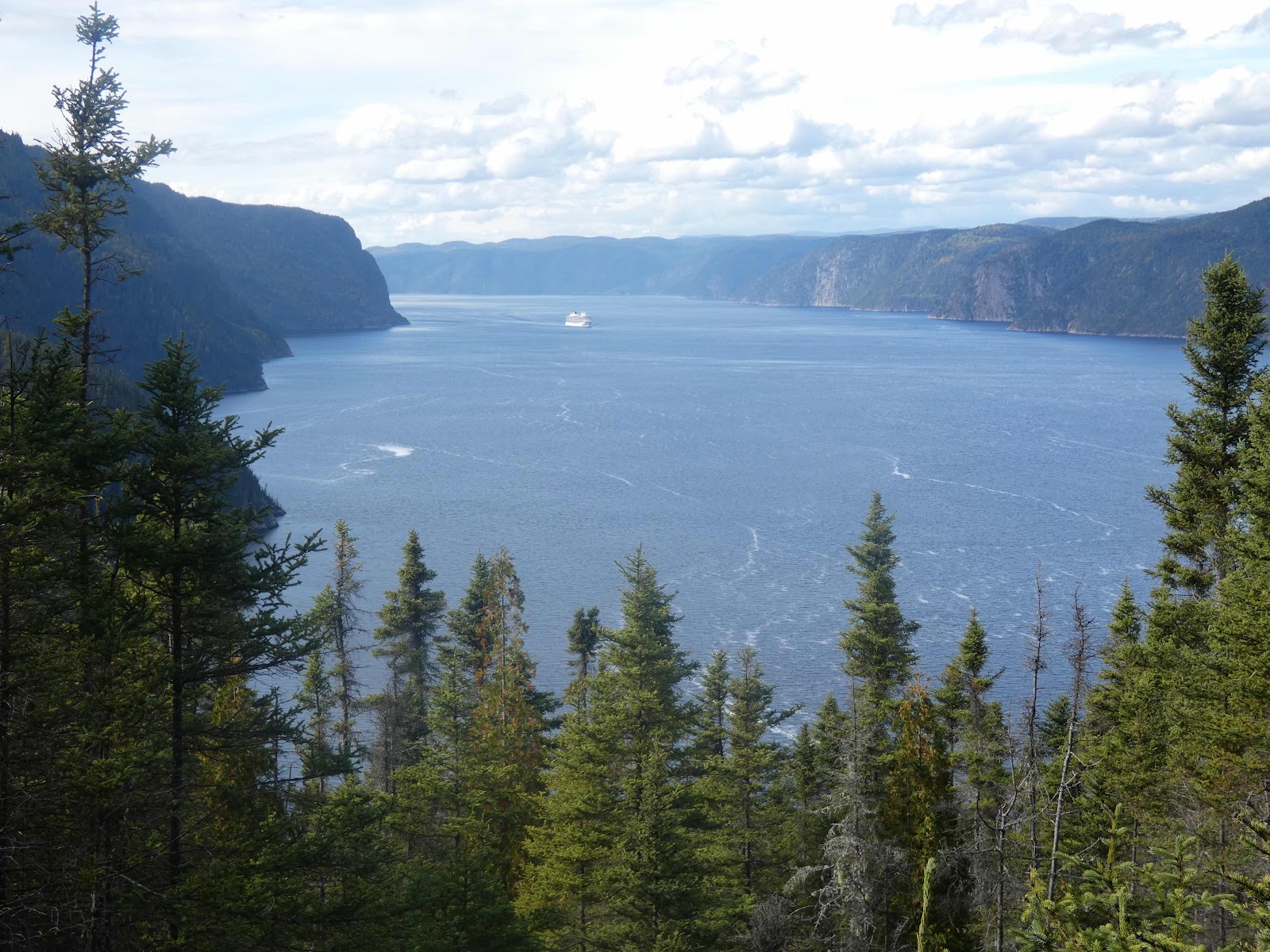
After this, although we were both tired we went to Hautes Gourges de la Rivière Malbaie and missed the last boat up the river gorge. It was pretty, and the leaves are all turning but it was too much for one day.


The next day we needed to drive for six and a half hours, back into Ontario where we’ll be for about a week.


Monday 26 September 2022

Parc National de La Jacques-Cartier

This park preserves some of the Laurentean mastiff and the eastern forest/boreal forest transition that occurs on this river. I wanted to go there in 2017, but the week I was in the area it snowed or rained all week.

To get there, google gave me three choices. As I would much prefer winding roads with forest on all sides I decided not to go via Quebec City. This was a mistake. Firstly, I was wandering along the main highway, trying to find the first side road, and didn’t. I couldn’t find the second one either. So I went back to where I’m staying and worked out how to get there. 

Unfortunately, the first road was a farm lane that was closed after 500 metres, despite the gps and google saying it went through. So I found the second alternative. This was great, for eighteen kilometres, but it then stopped being sealed, and soon had another gate across it. 


So there was nothing for it but to retrace my journey and go via Quebec City. I’d wasted hours! Have I yet said that it was raining - sometimes quite heavily. There’s a lot of trees and moss in the area, so it probably rains or snows most of the time. When I made it to the park, they advised me to walk the L’Eperon trail. I’d already been advised by google that it was one of the best, so I followed my advisors.

The trail is a loop that goes to the top of the L’Eperon mountain and back down again. I did the steep climb first, and took the gentle half of the trail back. On the way there are many lookouts.


One (near the top) overlooks the house you walk past as you go from the car park to the trail.


There was also plenty of moss.


It really was a fantastic trail, but the walk back goes on forever!

Parc National Du Fjord du Saguenay

When I was in this area in 2018, I didn’t have enough time to get to this park, so today I decided to go there. It’s a fair way from where I’m staying, but the route was mainly good roads and boreal forest beginning to take on its autumn colours.


The park is protects some of the longest fjord in the world at this low altitude. The geology reminded me of fjords to the north that I’ve recently seen. But there isn’t any forest further north.


There were a lot of small animals around, including this chipmunk in the car park.


Saturday 24 September 2022

Toronto

I managed to get up early, get a car and drive for many hours to Quebec, passing Toronto, Montréal and Quebec City on the way. I managed to get caught in traffic jams near all three cities. As I reached the border with Quebec, I stopped in Lancaster to get lunch - there had been a sign for the fine cheese shop, so I thought there might be something different to the endless fast food which seemed to be the only food on offer. I snagged some cheeses that had received best in the world awards and some nice lunch, so I was happy.


I was exceedingly tired when I arrived, so I’m taking a day off to recover and to update everything (the last few days of the cruise, the wifi was virtually nonexistent) and do washing and other mundane tasks. Don’t expect another post until after tomorrow.

Kangerlussuaq

Today we awoke slipping down the fjord into the port of Kangerlussuaq. Calling a pontoon a port is a bit misleading, but the port is several kilometres from the airstrip and town, which only has a bit over 500 inhabitants. The road continues out to the icecap, and ends up being the longest road in Greenland at a total length of fifty kilometres. Plans are afoot to build it even longer, so it connects with Sisimiut and ends up 160 kms long, becoming the only road connecting two towns in Greenland.


The area around Sisimiut and kangerlussuaq free of the icecap is the largest piece of ice free land in Greenland even though most of it would be above the Arctic circle. It’s bigger than France. Kangerlussuaq was built by the USA during WWII as a protected airstrip, and it’s still used as an international airport today. It was also the base for the Greenlandic airline, but I think that’s been moved to Nuuk, the capital (which doesn’t have an international airstrip). A number of shipping containers are used for buildings, including the hotel, bar, airport cafe and gift shop…

We went out on the road to the icecap and visited Russell glacier and Reindeer glacier (which is an offshoot of Russell glacier). These glaciers are straight off the icecap and are unique in that they calve onto land. On the way we passed the town and the golf course. The golf course is just tundra, with a gravel base and the occasional tundra plants. As we went past I thought that the gravel looked like it was made up of scree larger than a golf ball. They tee off each hole on pieces of fake grass, and that appears to be the only time you’d have any idea where your ball would be going. Evidently it’s the most northerly golf course in the world and has two members.

We stopped at Long Lake where we could see the glacier. I think we really stopped so the driver could have a smoke.


Someone with sharp eyes saw a musk ox, and this time even I could see them (I could see more than one, and it turned out that there were about eight, but you should easily see two in the picture). They were all moving, so they definitely weren’t rocks.


We didn’t go all the way to the icecap, but stopped to walk along the side of reindeer glacier.


After we were back in the bus, we went back to town and up to Lake Ferguson which is used for the town’s water supply. The rowing club has a hut here and we had a bbq lunch.

On our way back into town we were early, so the bus stopped above the rubbish dump. I finally had a chance to photograph the river we’d followed for most of our journey.


We also saw an Arctic fox who was curious about us.


Then we reached the airport. I took a photo of the scenery from the airport lounge while we waited for our flight.


We briefly stopped in Iqaluit, and I took some photos after we took off again.


We arrived in Toronto at about midnight.

Wednesday 21 September 2022

Sisimiut

It rained all day, but it was a great day too! This morning I woke up looking at the coastline.


We got to Sisimiut at lunchtime. When I briefly visited Sisimiut on the ferry, I got the impression that it was very small, but it’s the second largest place in Greenland, and the largest in the Arctic circle. I managed to get on the first bus tour, so that I could also do other things. They took us to a lookout and the dog village. It was very cold and wet and windy, so I was glad at the end that we were docked so I could easily go back and get changed.


Although Sisimiut (like just about every North American Arctic settlement) was created by a European post and the Inuits moving to it and then being forcibly moved to it, there’s a UNESCO site here where four thousand years of Inuit occupation has been unearthed. It’s on a peninsula away from Sisimiut itself, and there’s a “trail” around the site that’s supposed to be four kilometres long. It has beautiful views of Sisimiut. Until I walked the trail I had wondered where all the extraordinarily  pretty pictures of the town had come from as I thought it bore no resemblance to the town I’d seen.


The archeological sites were well labelled, although most of them were difficult to distinguish.


Others were very visible.


As it was raining the entire time, I was a drowned rat by the time I returned. I’d spent a lot longer there than I anticipated, partly because it was difficult to find a reasonable trail that catered for short legs. After I got back we had an amazing kayak demonstration by the world champion kayak roller. He could even paddle his kayak while it was upside down! Pictures do no justice to his expertise.