The area around Sisimiut and kangerlussuaq free of the icecap is the largest piece of ice free land in Greenland even though most of it would be above the Arctic circle. It’s bigger than France. Kangerlussuaq was built by the USA during WWII as a protected airstrip, and it’s still used as an international airport today. It was also the base for the Greenlandic airline, but I think that’s been moved to Nuuk, the capital (which doesn’t have an international airstrip). A number of shipping containers are used for buildings, including the hotel, bar, airport cafe and gift shop…
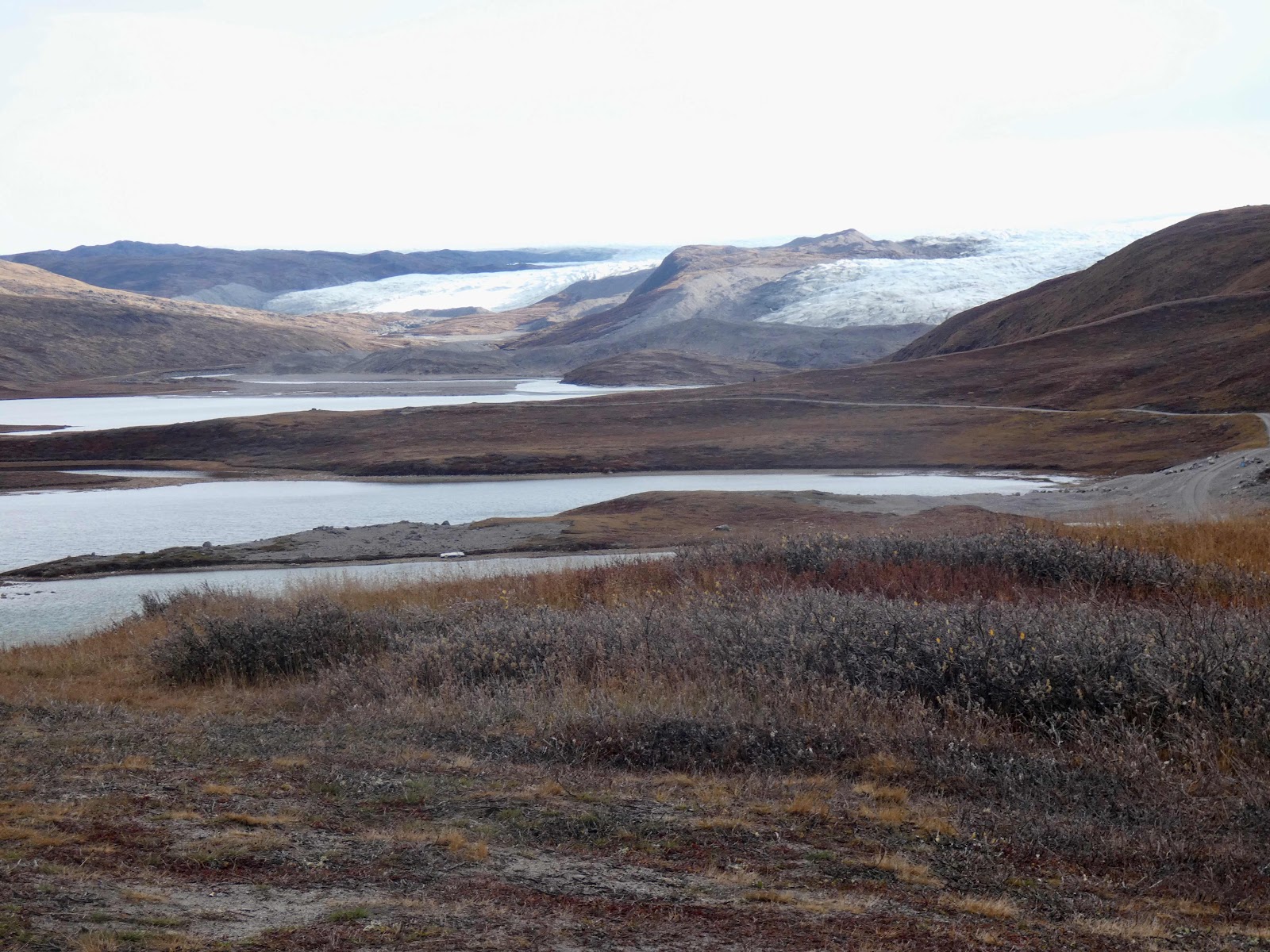
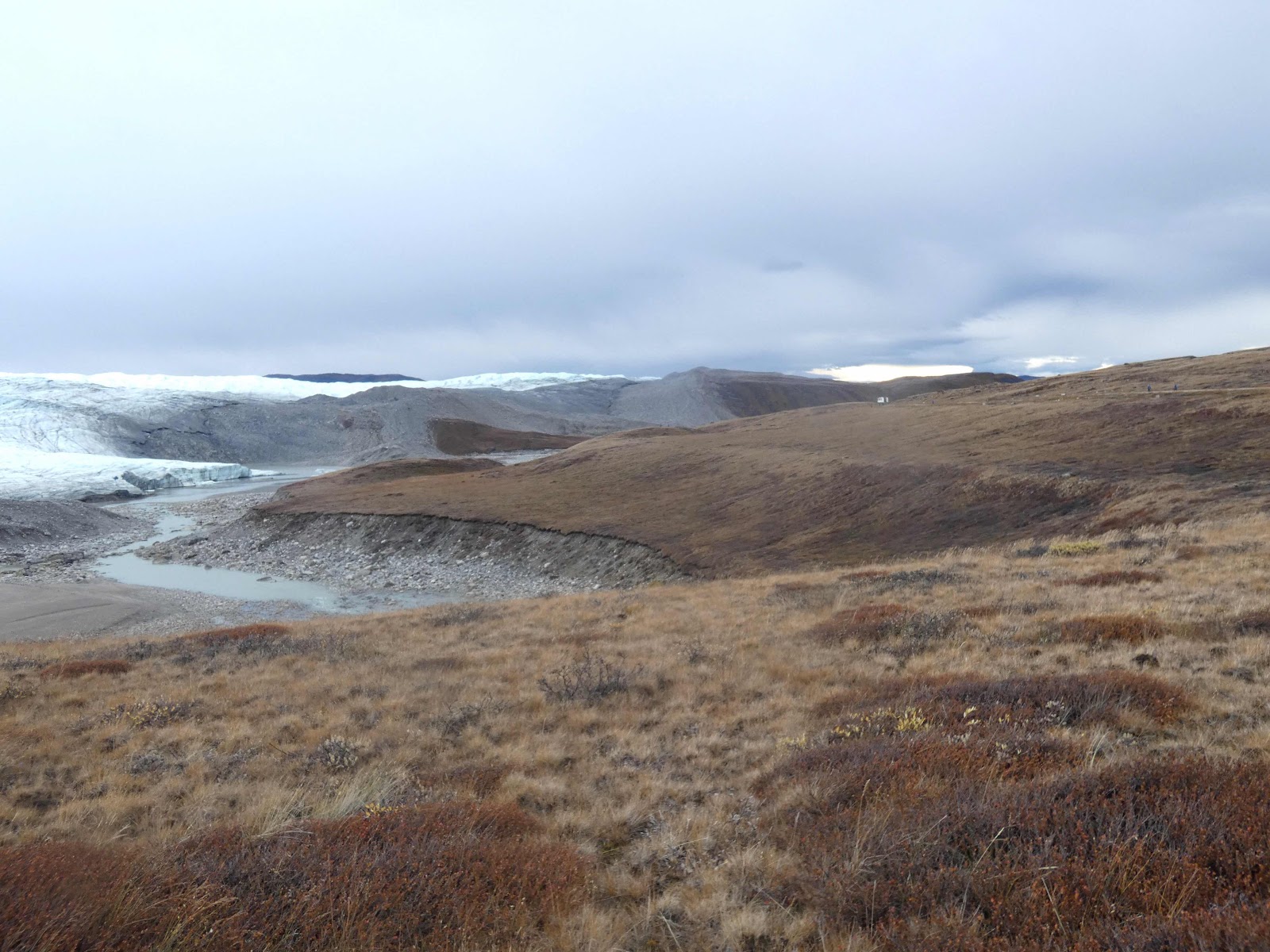
We went out on the road to the icecap and visited Russell glacier and Reindeer glacier (which is an offshoot of Russell glacier). These glaciers are straight off the icecap and are unique in that they calve onto land. On the way we passed the town and the golf course. The golf course is just tundra, with a gravel base and the occasional tundra plants. As we went past I thought that the gravel looked like it was made up of scree larger than a golf ball. They tee off each hole on pieces of fake grass, and that appears to be the only time you’d have any idea where your ball would be going. Evidently it’s the most northerly golf course in the world and has two members.
We stopped at Long Lake where we could see the glacier. I think we really stopped so the driver could have a smoke.
Someone with sharp eyes saw a musk ox, and this time even I could see them (I could see more than one, and it turned out that there were about eight, but you should easily see two in the picture). They were all moving, so they definitely weren’t rocks.
We didn’t go all the way to the icecap, but stopped to walk along the side of reindeer glacier.


After we were back in the bus, we went back to town and up to Lake Ferguson which is used for the town’s water supply. The rowing club has a hut here and we had a bbq lunch.
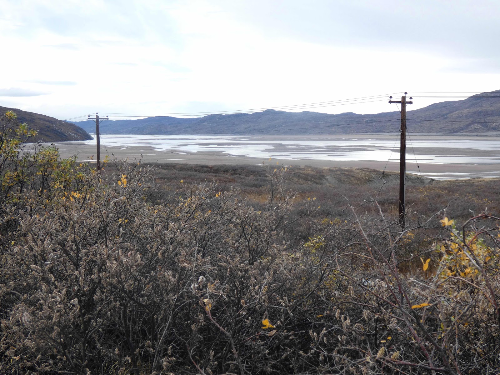
On our way back into town we were early, so the bus stopped above the rubbish dump. I finally had a chance to photograph the river we’d followed for most of our journey.
We also saw an Arctic fox who was curious about us.

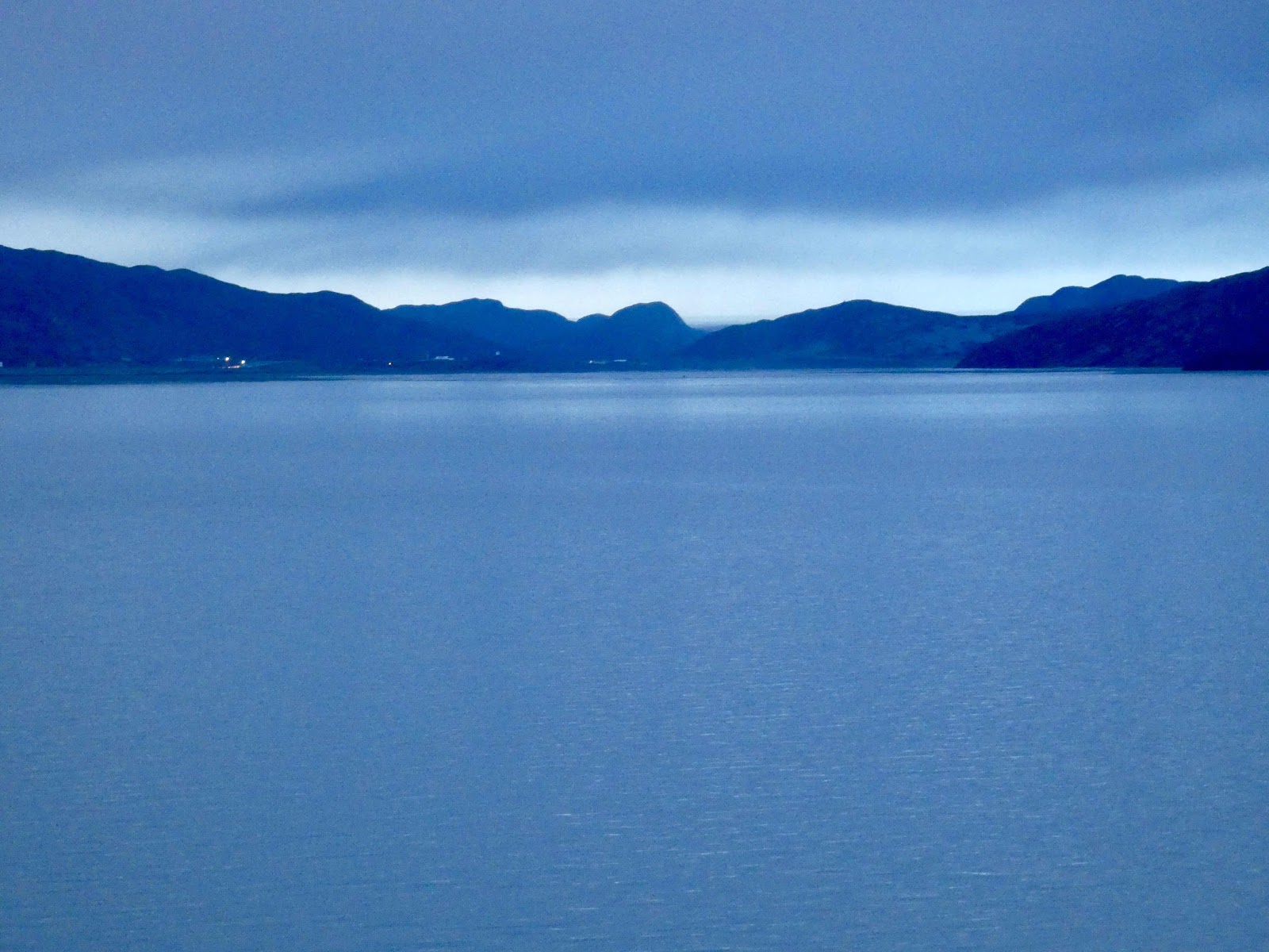
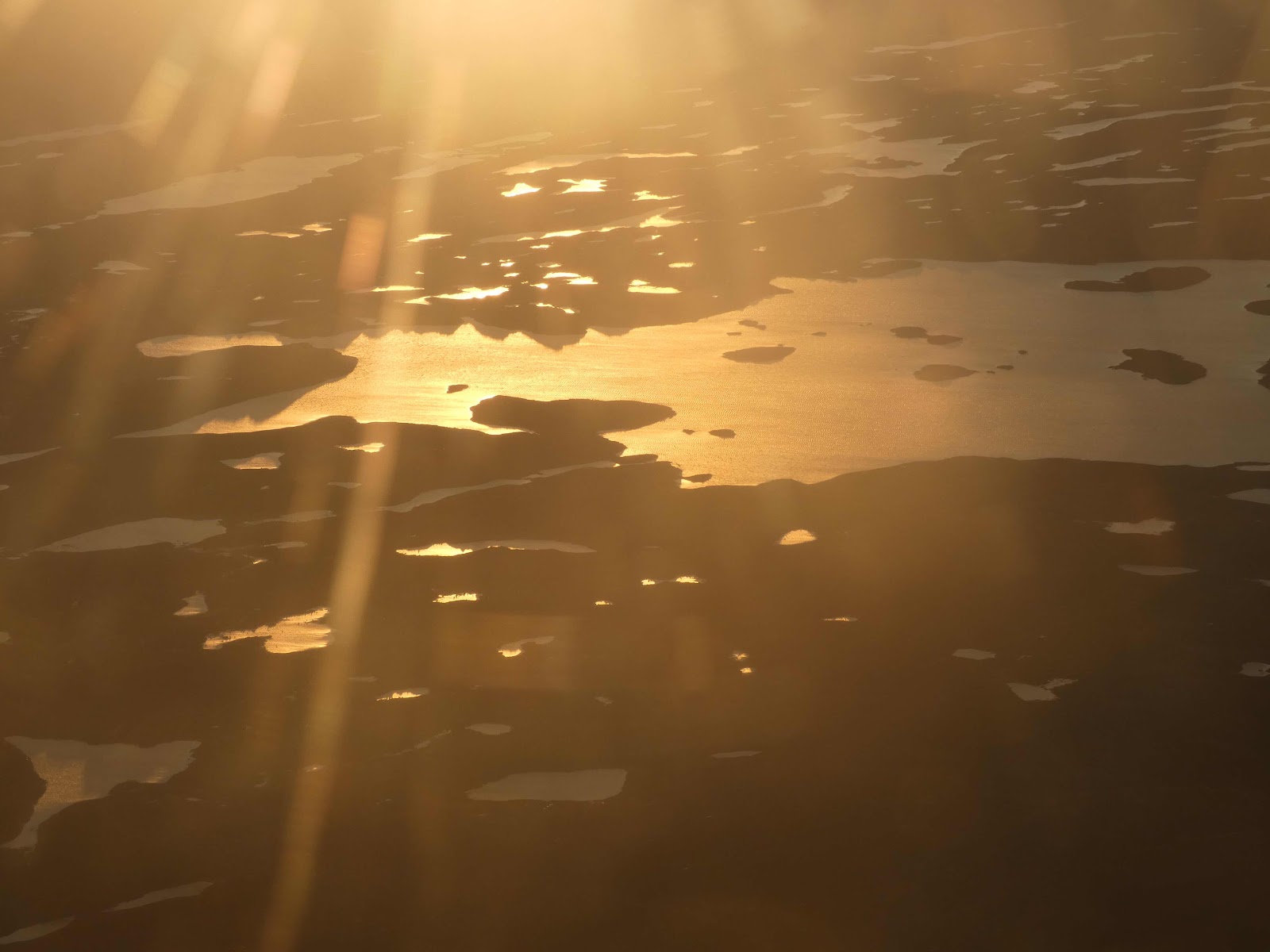
Then we reached the airport. I took a photo of the scenery from the airport lounge while we waited for our flight.


We briefly stopped in Iqaluit, and I took some photos after we took off again.

We arrived in Toronto at about midnight.
No comments:
Post a Comment