Friday 31 August 2018

From End to End

I have now started at one end of the Trans Canadian Highway (Victoria, BC), and gone to the other end (St. John’s, Newfoundland). The fact that the entire middle is missing is immaterial.

Quidi Vidi is a small port at St. John’s. The oldest house in Newfoundland is here. The entrance to its harbour is extremely small. It’s known as an artist colony and the best brewery.

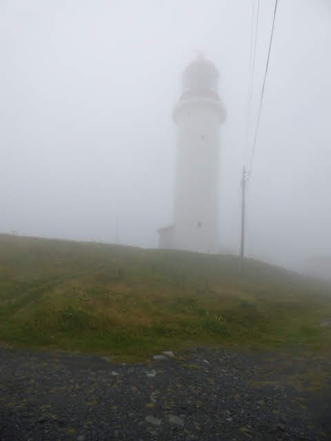
I walked there from where I was staying, and then continued up to Signal Hill, where forts were progressively built by the English and the French as they took it away from each other over the years. This is also where the first Trans Atlantic telegraph was sent - the letter S in Morse code.

You can see just how narrow the entry to St. John’s harbour is.

I went to the museum and saw a lot of stuff I’d already seen on my travels, but the Innu clothing and the different kayaks from the different cultures were interesting. From the museum I could see Signal Hill.

After that, I came back to where I’m staying via the Parliament House, Government House and the Commissariat.

There are a lot of multicoloured houses jammed together in St. John’s.


Thursday 30 August 2018

Along the Avalon Coast

This morning the weather cleared and I decided to take the coastal road. The scenery was lovely, and there were more barrens, so I could get a better photo of them.
Cape St Mary’s is an Ecological Reserve for migratory birds. The only one that hasn’t flown on after nesting is the garnet, but there are many thousands of them. There was another lighthouse nearby.

Then I visited Placentia, where the Castle Hill National Historic site is located. Like everywhere else in this area, the Basques came here for to fish in the 1500s. The French took the area over and built a fort complete with detached redoubts, breastwork walls, bastions... Eventually it was ceded to the English in exchange for land elsewhere in Newfoundland.

I saw a squirrel there. Placentia was by far the biggest town I’d seen in Newfoundland, and it had a special bridge - complete with traffic lights!


Wednesday 29 August 2018

More Fossils

Mistaken Point is a World Heritage area with one hundred layers of Ediacarian fossils being eroded by the sea. Here, the gulf current and the Greenland current collide, so it is usually foggy. Today was no exception. You walk through the barrens, where all the plants are very low because of the continuous wind. Then you change your shoes for booties so that you don’t harm the fossils. There were over ten thousand on the two shelves where we walked. It was fabulous!

Then I visited the lighthouse and radar station, which were the nearest to the Titanic when it floundered. Mistaken Point is named because so many ships mistook it for the next Point and were wrecked there.

I came back to St Mary’s, and viewed the site where a number of other ships have been wrecked.


Tuesday 28 August 2018

Bygone Days

Several of the houses in Trinity are open, so this morning I went to the first counting house and general store in Trinity, and a couple of others. Trinity was originally very much lager than it is today, with houses taking up the entire bay, including near the fort (which was prominent in the picture of the town yesterday).


Monday 27 August 2018

Trolls

Several Canadians have recommended the Bonavista peninsula to me and I can understand why. The Skerwink Trail is supposed to be one of the best walks in Canada. It’s only 5kms and it goes along the edge of sea cliffs with plenty of sea stacks (in Iceland all such formations are considered to be trolls that have been turned to stone) and incredible views, including of the town where I’m staying.

Elliston and Maberly are billed as the root cellar capitals of the world, so I didn’t expect to find a walk to a puffin colony, nor Canadians having a swim!

At the end of the peninsula, I saw the lighthouse. Canadians seem to build very squat lighthouses. This is typical of the ones I have seen so far.

The last picture is of where I’m staying.