Thursday 29 February 2024

Houtman Abrolhos - Wallabi Group

Houtman Abrolhos is divided into three sets of islands, and today we visited the most northerly group. 

Unfortunately, once again, it was too rough and windy to visit the main reason (in my opinion) for coming here - Beacon Island and the Batavia. As we learnt at school, the Batavia was a Dutch ship carrying a large amount of gold and jewels and people to the Dutch East Indies that ran aground close by. The survivors ended up on Beacon Island. The two small boats that survived the wreckage were sailed to Batavia (Jakarta) and a rescue ship was dispatched. Some of the crew had already planned a mutiny, and the leader of the mutineers was left in charge. The mutineers sent the soldiers (without any muskets) on the ship to another island to find water, then massacred a number of those who remained, but many of them escaped to the other island. Subsequently, the two groups engaged in battles. The rescue ship came in the middle of a battle, sorted out what was happening, and distributed various means of capital punishment to the ring leaders. They left the two youngest mutineers on the coast, making them the first Europeans to possibly live in Australia.

For many years, the wreck and the associated islands were thought to be in a different part of the Abrolhos, but people built holiday shacks on the island and kept discovering bones (over 100 people were massacred), and it became obvious that this was where everything happened. Today the shacks are all gone, and the island is protected.

But we didn’t visit it.

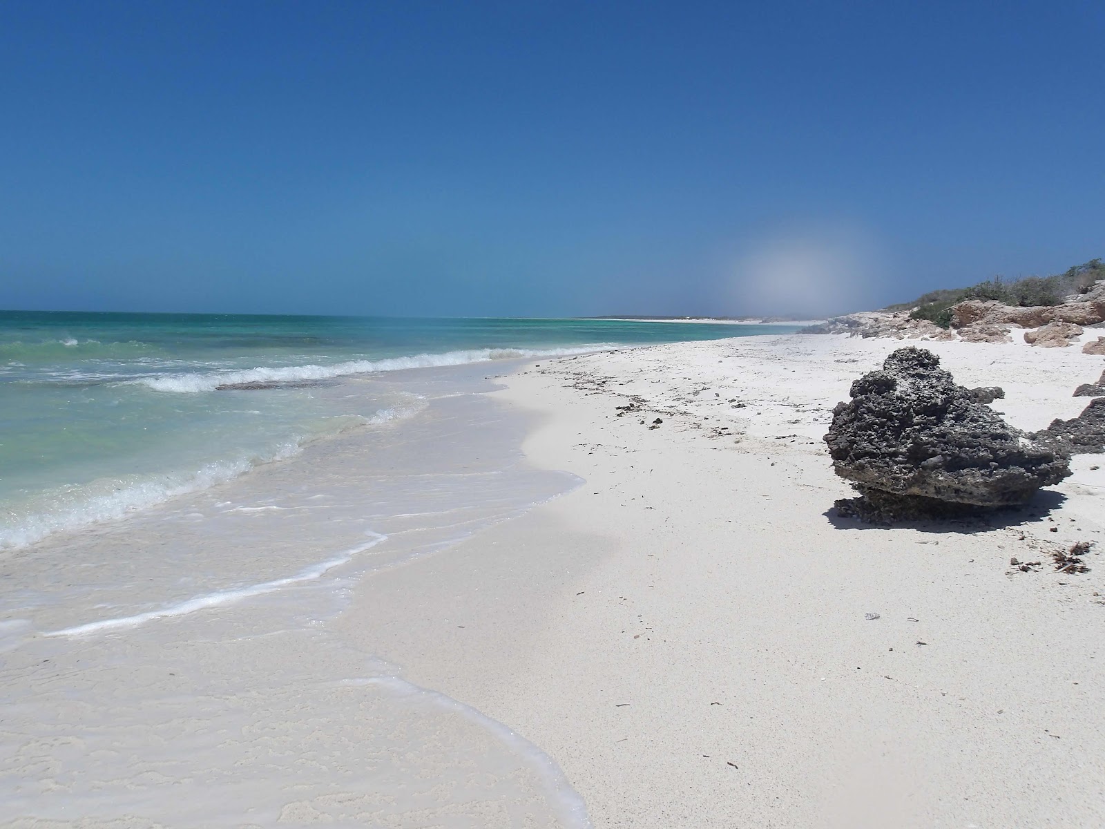
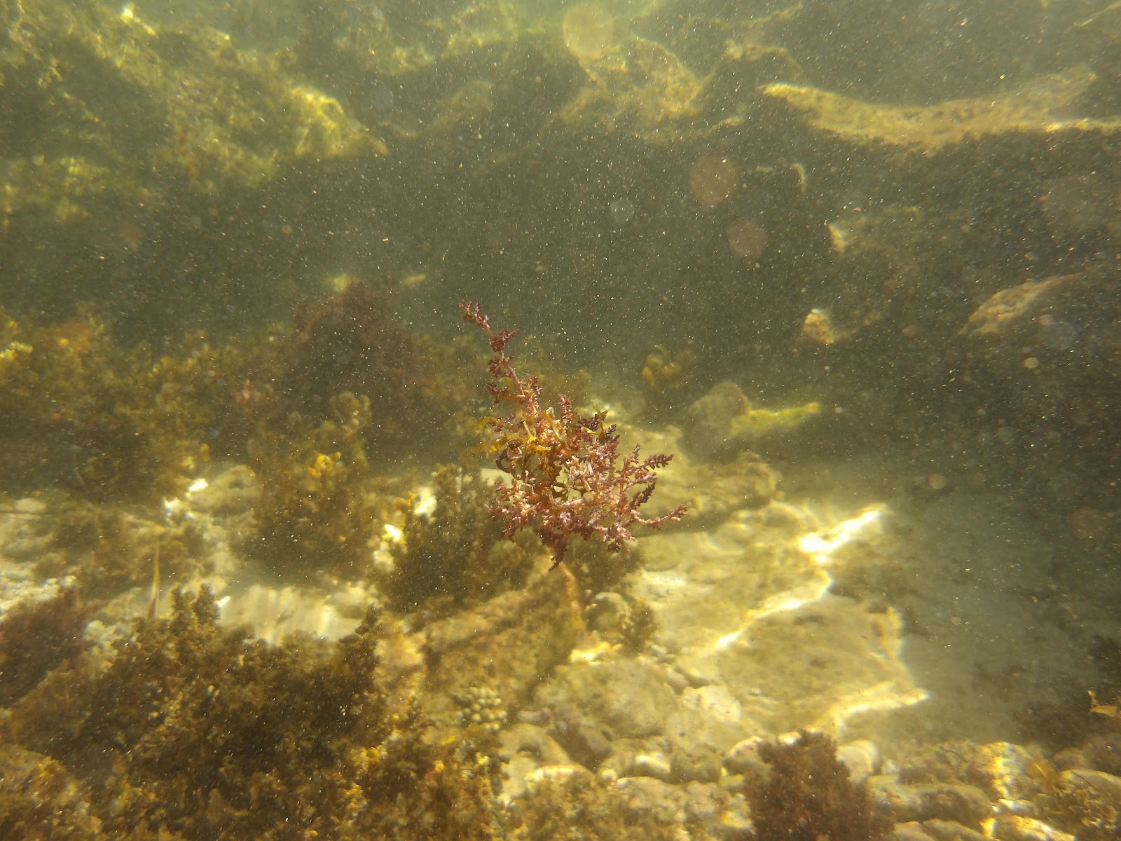
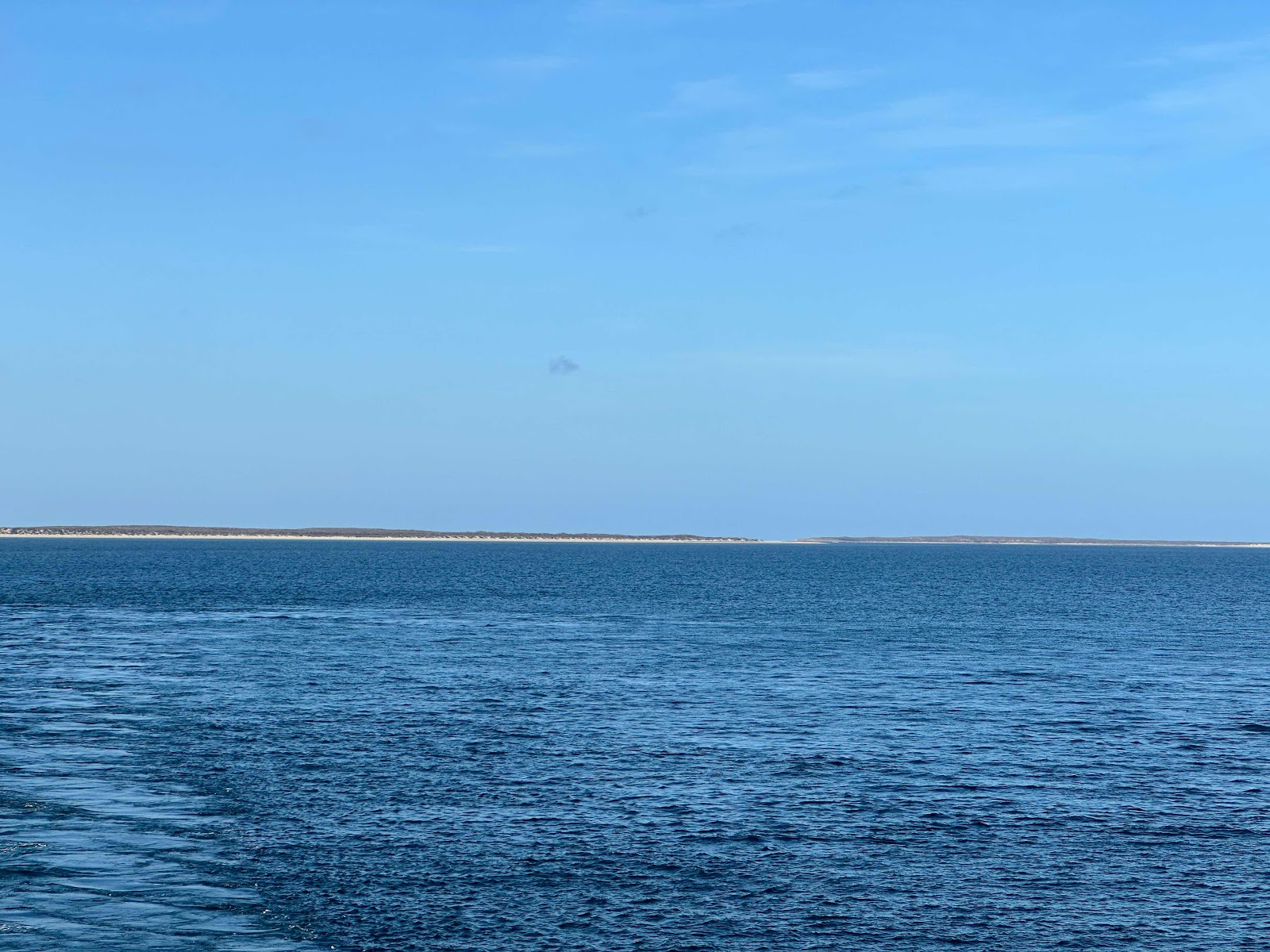
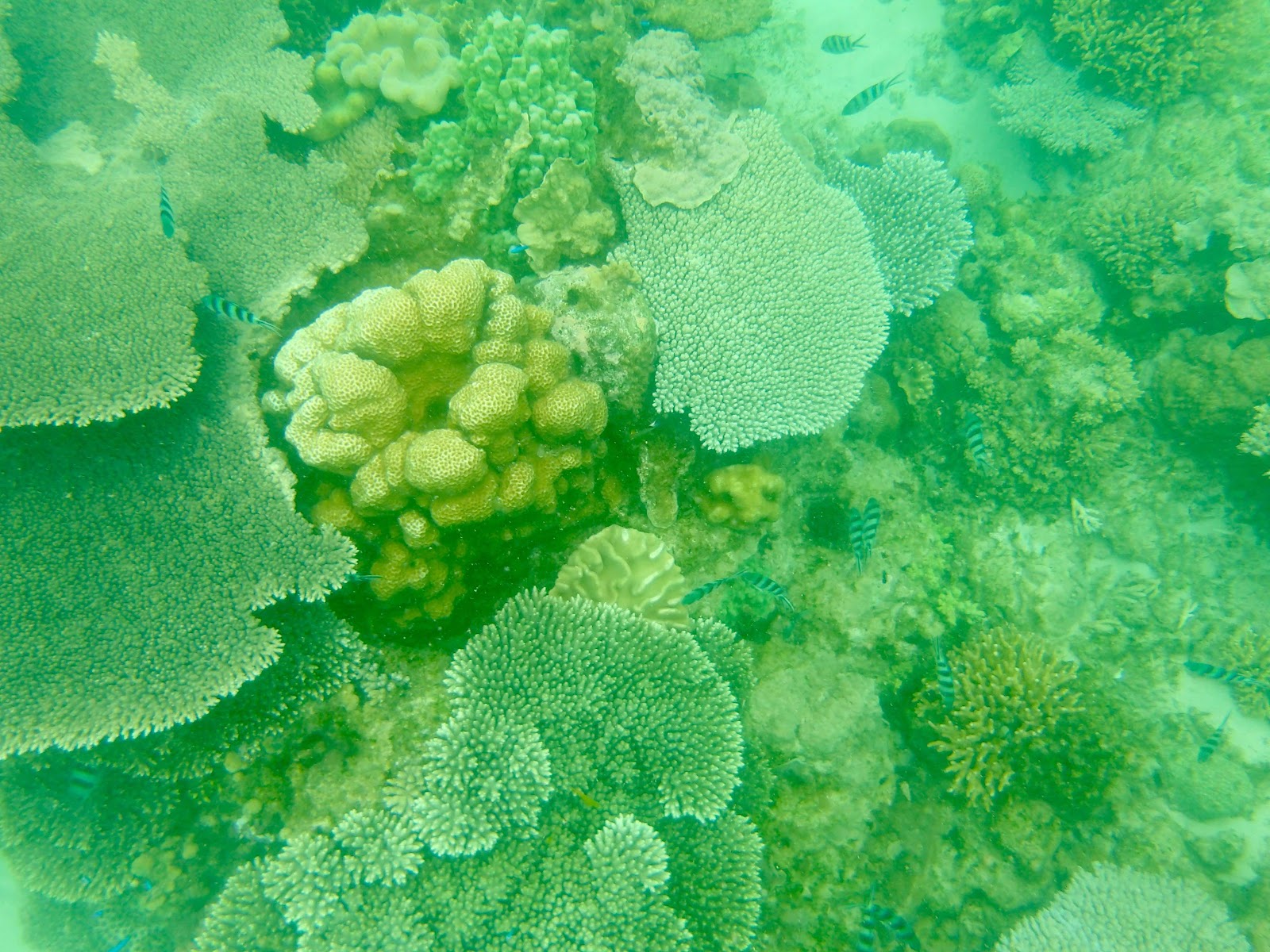
We did visit Turtle Beach on East Wallabi Island. It’s another great Australian beach - white sand, coral very close to the beach so you can snorkel, shelter sheds and seating, other amenities, and a lookout point. Presumably, at the right time of year there are even turtles.


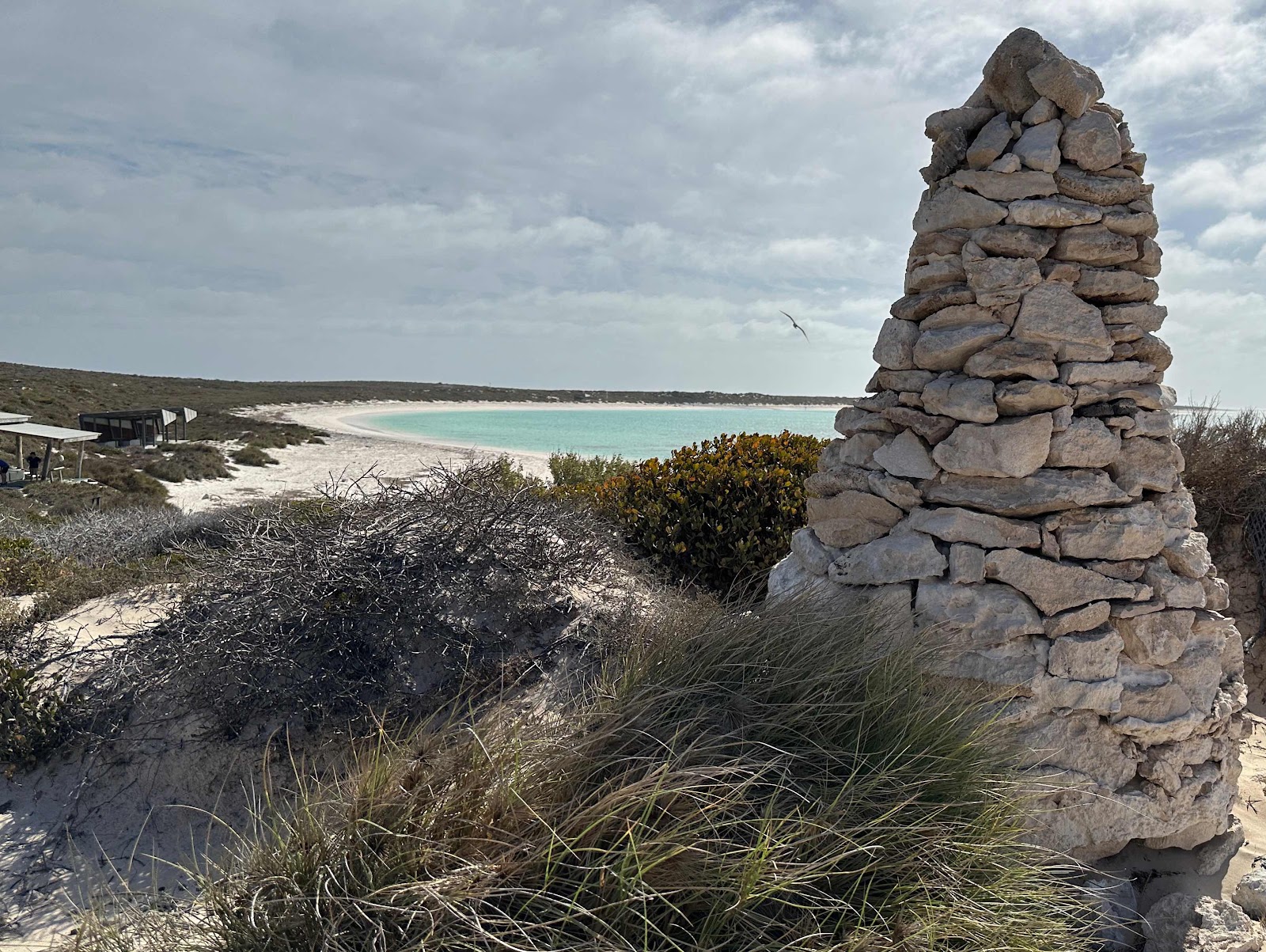
It was too rough for snorkelling, so we went for walks and waded in the water.


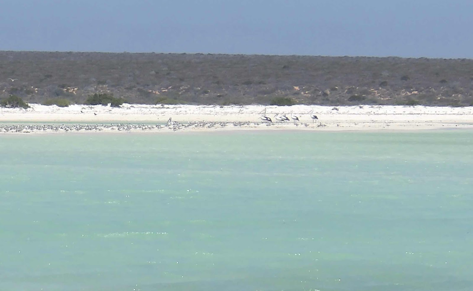
There were a variety of birds around.


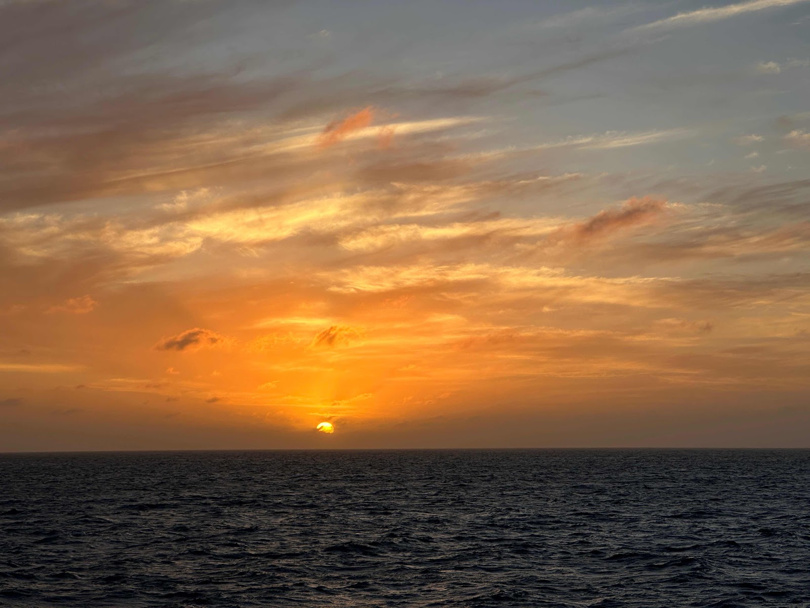
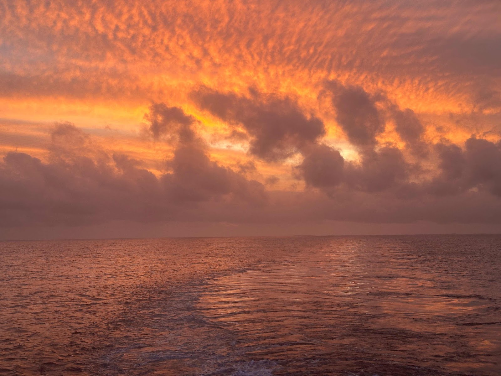
And the sunset was pretty good too.


Wednesday 28 February 2024

Shark Bay

Today started with an early morning walk or a cruise along the coast at Shark Bay (which is a UNESCO World Heritage area). I decided that the walk might be too much so I waited for another hour for the cruise. Unfortunately, the ride to the coastline was really choppy (the walkers were completely saturated by waves breaking over the tender), so they called the cruise off. 

Later in the day we went to Dirk Hartog Island and had a swim. It was supposed to be a very wet landing, so I took my underwater camera. As I went wading with the camera (the water was very shallow), it got water drops in front of the lens, so most of my pictures were terrible. There were lots of birds on a sandbank. 


Behind the sandbank was a lagoon with lots of interesting things, including a teenage turtle.


Around the point was more beach, but it was pretty choppy and windy there.


But there were banks of molluscs sitting there.


And people found a number of shells.


When we went back, we started to our next destination, passing the most westerly point on the Australian mainland.


We weren’t allowed on deck because it was too rough, so I didn’t take a sunset photo.

Tuesday 27 February 2024

Batemans Bay WA

There’s still a lot of wind, which means the sea is turbulent, protected coves are the only places where we can snorkel, and visibility is much lower than it normally would be. Most of the reef has too much swell. We found a very small protected cove to snorkel in this morning. It was mainly sea grass, 


but there was the occasional coral and sea anemone growing there.


However, we saw an amazing number of different types of sea creatures. Cuttlefish 


Blue spotted manta ray


Fiddler crab


And fish.


It was all pretty special.


Monday 26 February 2024

Exmouth

Unfortunately, although the tropical low was downgraded from a cyclone, coming into Exmouth the day after the storms hadn’t given them time to fix things, and repair the road into the national park and world heritage area of Ningaloo and Cape Range. So our visit didn’t include the areas we were expecting to see.

Every boat in the marina was tied up with as many ropes as it could take.


Exmouth started with the Second World War, as a submarine refueling post. There were some daring raids on Singapore from here - we visited the site from where they were launched. This was a combined Australian and American post, so after the war, when the Americans were looking for somewhere to base submarine communications, they chose North West Cape, and Exmouth was founded to support the US base. Gough Whitlam changed it to a US/Australian operation. With the recognition that Ningaloo is the world’s largest fringing reef, and the subsequent expansion of tourism, Exmouth has become a tourist hub as well. The navy pier is one of the premier land based diving sites in the world.

We saw Cape Range from the boat as we came into port,


And went to look at the Badjirrajirra Canyon, which was within Cape Range, but outside the closed national park. It was very impressive, with views along the coast.


At the lighthouse, you could see the coast and the Ningaloo fringing reef.


It was an extremely hot day, and because of the ex cyclone, all the shade cloth had been taken down, so there was very little shade. However, we went to a beach and cooled down before we went to the Discovery Centre. This was really well done. Downstairs it had lots of displays with aquariums and various marine life from the area, and upstairs they had life in Cape Range. There are quite a number of cave dwelling creatures endemic to this area, some of which are endemic to individual caves.


There are also many endemic species above ground, including some reptiles. We were fortunate enough to be there when the lizards were being fed with mice and things related to cockroaches. The eight lizards in this display fought over their dinner.


We went back to the ship and saw sunset at dinner.


Sunday 25 February 2024

Muiron Islands

This morning we arrived at Muiron Islands, a few rather flat islands known for their nesting seabirds. It’s a nature reserve where we couldn’t land.


However, we could snorkel. The visibility wasn’t great because of the tropical low, but the fish and Corel were marvellous. It’s part of the Ningaloo Reef, the largest fringing coral reef on earth.


At sunset we came to Exmouth, and saw all the communication towers.


Saturday 24 February 2024

Montebello Islands

It’s unfortunate that the nuclear powers all decided to perform tests in remote locations not really part of themselves, many with indigenous populations who weren’t considered or consulted. It’s one of the last remnants of the colonial mindset. When Britain conducted tests in Australia, they deliberately misled the Australian government, didn’t share any of the results with Australia (and still haven’t), set off radioactive plumes across Australia that reached as far away as Fiji (that they covered up), and have been reluctant to provide any money towards cleaning up their mess. So far, the cleanups have cost more than double the compensation reluctantly provided some fifty years later. Australia is one of the few places in the world where a nuclear bomb has been dropped from a plane. 

Today I went to ground zero of one of the twelve main tests (and over 1000 in total) that the British performed in Australia, before they decided to use some of their pacific island territories. Three tests were undertaken in the Montebello Islands, and this was the third.


The islands are all real desert islands. 

Before the test, there were several endemic species on the islands that disappeared.  Humans weren’t allowed on the islands for many years, so wildlife has been undisturbed since. Cats and rats were eliminated, and, since the environment was compromised, the islands have been used for refuge populations of critically endangered species, and several have done really well on the islands. We saw a number of birds, and a goanna on the island when we landed.


And walked up to the lookout where they built a concrete bunker for the instruments they used to monitor the explosion. There was a railway up the hill.


Then I went to ground zero, where the tower was built for the nuclear test - it’s where the people are congregating.


We were all off the island within an hour. Because there’s a fair bit of wind around (the cyclone was downgraded to a tropical low, but it’s still very windy), we had a difficult landing, so we didn’t visit the other land ground zero site on the other island. Instead, we sailed around the Willy Nilly lagoon where the first test took place (a ship was exploded, while Australian sailors dressed in shorts and sandals stood on deck on an Australian ship nearby). 

And saw where the second test here was performed (there was a lot of spray as the water was rough).


Then we visited the site where cultured pearls were first attempted in the late 1800s. There is a large circular bay behind the wall, where you can see mangroves. The wall was built to stop the oyster spawn from dispersing elsewhere, and the pipes in the wall allowed water exchange. It was fairly low tide, so in a lot of the photos you can see oysters growing in the intertidal zone.


The pearling people built a house on the top of the island, and called it mansion island.


We saw two species of dolphins on the way back to the ship. Later on there was a superb sunset.


Friday 23 February 2024

Dampier Archipelago

We reached the Dampier Archipelago, and decided to stay there to wait out the cyclone. A lot of other ships were there doing the same thing.


We went to see some of the petroglyphs in the Dampier Archipelago. This, and the nearby Burrup Peninsula, is has the highest concentration of petroglyphs in the world, and also has one of the largest collections of petroglyphs. The area is desert, with spinifex and few trees. When my parents moved here in the 1980s, I found out that it had over 300 days of temperatures over 30C and 90 days over 35C on average every year. As a result of the harsh climate, the hills all look like piles of rock. This is natural. 


Early European settlers used the stones to build. We also saw rufous rock wallabies (which are very quick). There’s one in the photo.


And, in places, just about every rock face has a petroglyph.


The town of Dampier is nearby, and Dampier Salt produces most of Australia’s salt. You can see the salt piles in the distance.


After we visited, the winds picked up as the low pressure system passed by. We stayed two days so the cyclone could be in front of us, but it seems to be not quite developing into a cyclone. I saw birds flying backwards in the winds, and the sunset was spectacular.