Saturday 31 August 2019

Yukon

The flight to Whitehorse was cloudy for a while but then we started to see glaciers 


And rocky mountains 


And rivers - looking on the internet, I think this is Tagish Lake or Atlin Lake.


After we landed, we saw fighting caribou on the carrousel. 


We went to Miles Canyon, where there was a tramline to help the gold diggers make their way to the Klondike goldfields. The canyon has tessellated basalt along its sides.


Friday 30 August 2019

Cowboy Trail

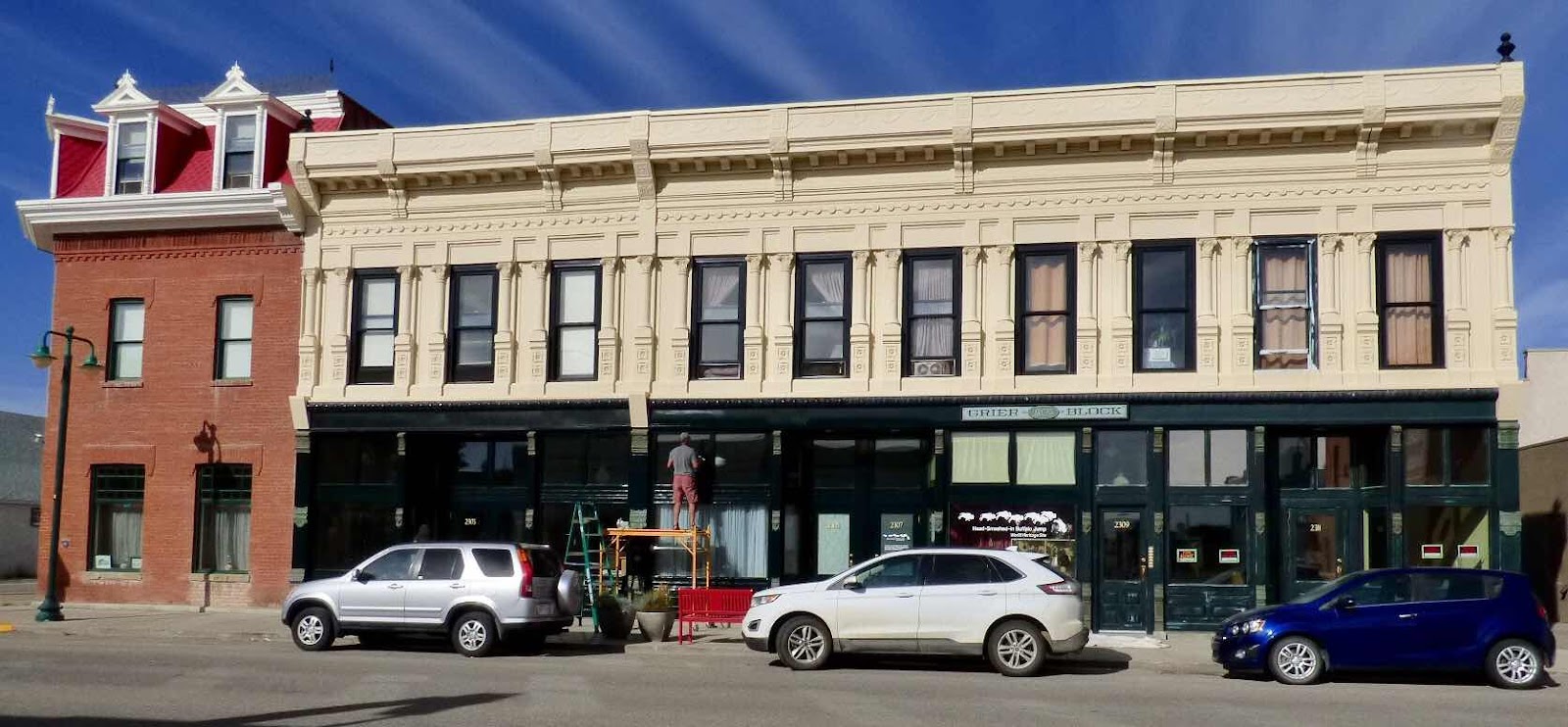
I haven’t included any pictures of Fort MacLeod, and that’s sad because this is a very interesting town. Obviously it was the first in the area, as the RCMP created a post here first, and traders came and the town started. It’s got a lot of old buildings and the Main Street is a consistent group of period buildings.


Including one that was once a courthouse - at first when it was still part of the Northwest Territories, and then for Alberta. In fact, it’s the only such courthouse surviving.


On our last day in Alberta, we went to the Lundbreck Falls. I found them described as a miniature Niagara!


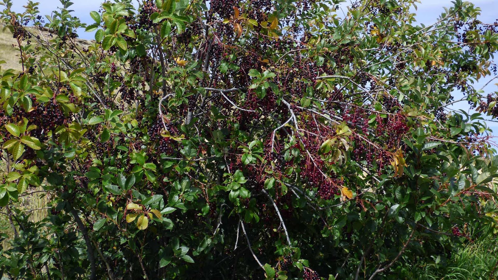
There’s a barn near the falls that had interesting decorations.


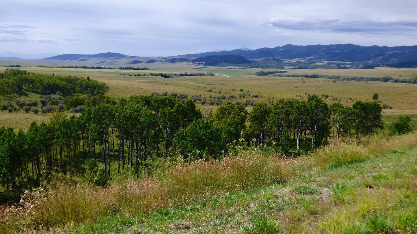
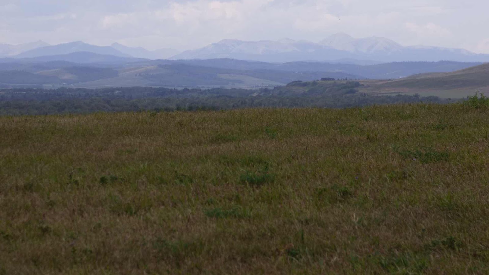
Then we took the Cowboy Trail to Calgary. It’s on the edge of the Rockies, going through the foothills, and it’s very pretty - far better than the multi lane highway we would have used otherwise.


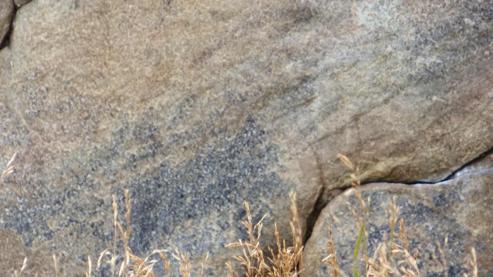
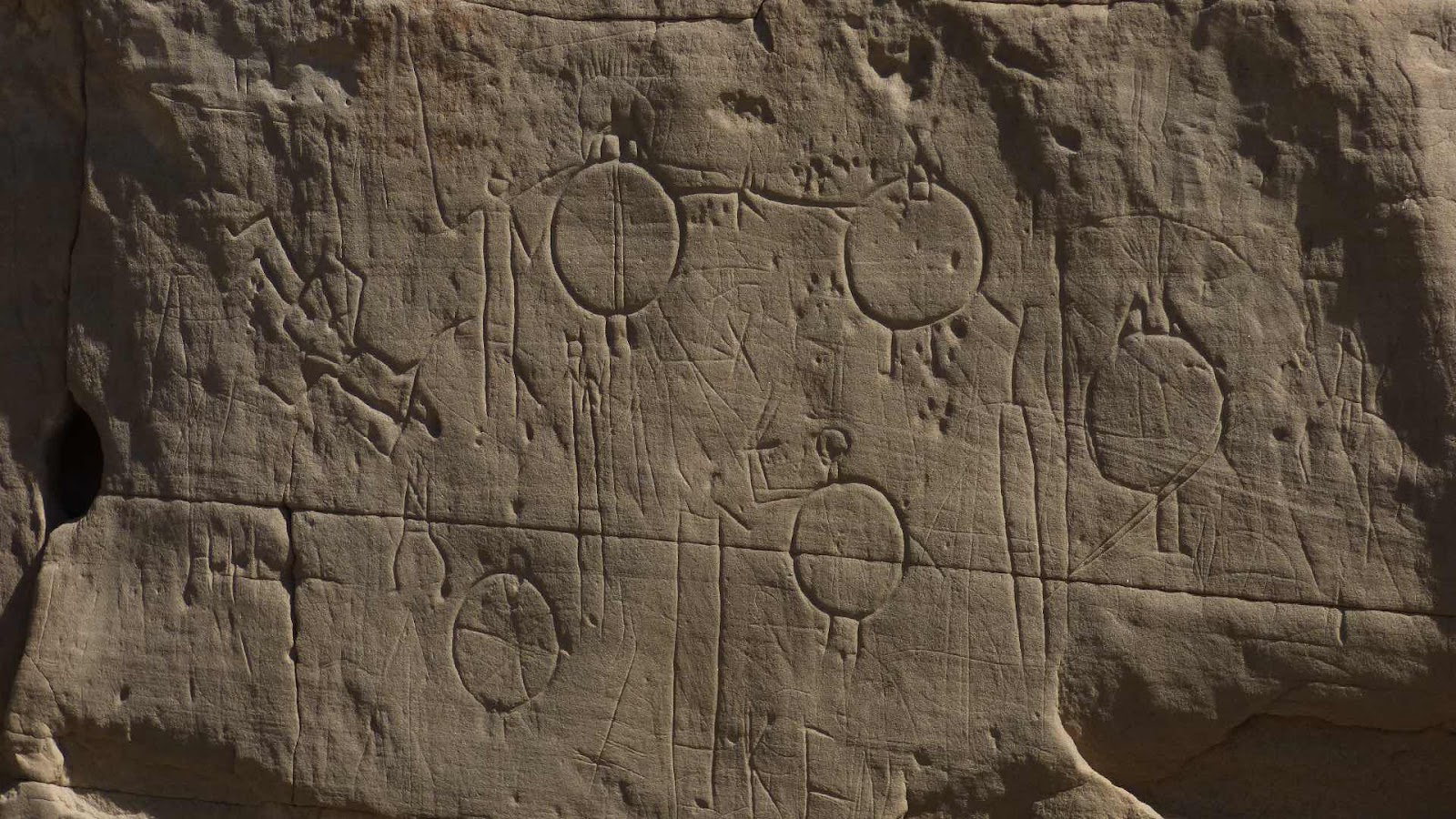
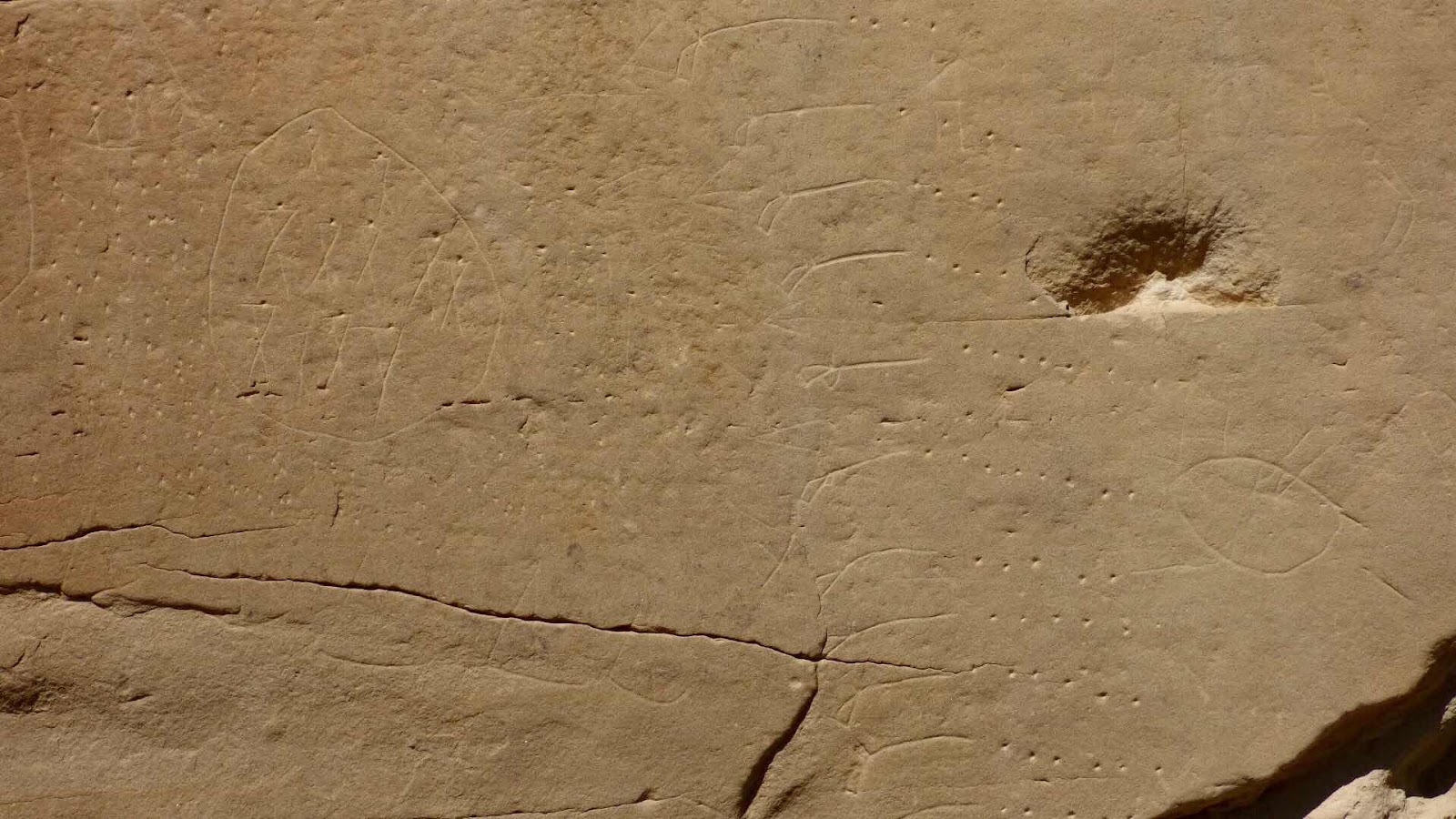
After stopping at Longview for lunch, we saw the Okotoks Eratic. There were a long trail of rocks carried on top of the glaciers from the Rockies to this part of Alberta, and this is the biggest.


There are some petroglyphs on it, but they’re hard to see.


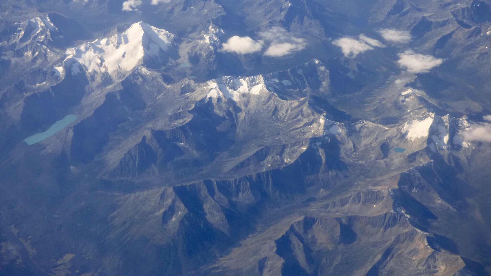
We’re going to Whitehorse tomorrow, staying a day, and then camping for a week where we won’t have any wifi (I’m not sure whether we’ll have any in Whitehorse either). After that, we should have wifi for one night before we won’t have it again for another week. Then we’ll have another night of wifi in Vancouver before we board the train for five days without wifi while we travel across Canada. So from here on the posts will be extremely patchy!

Thursday 29 August 2019

Head Smashed in Buffalo Jump

Today we didn’t have a guided walk because these don’t happen as often at Head Smashed in Buffalo Jump. It would have been nice to see the actual lines that were used, but there was a film and there were plans of the area showing where all the people were and how the people planned the jumps. The visitors centre is stepped into the hillside, but you can see some of the seven levels as well as the top (which is at the very right in the photo).


From near the top of the jump, you can see the jump itself, and along the cliff to the next jump location. Because there were so many bones, the vegetation is very lush where the actual jump was - the soil has built up by 10 metres over the 5000 years that the jump was used.


Each level in the visitors centre explained different aspects of the jump - the archeology, the life of the Blackfoot people, the mechanics of the jump, how European settlement changed the lives of the people... They had a buffalo skin that was used to tell the history of a tribe - each symbol represented a year, and what had happened that year.


We walked along the lower trail, which included the site where a tent ring was, and where the butchering took place. The choke cherry trees were dripping with fruit.


We saw a mule deer and her fawn.


Then we went to the Fort MacLeod Museum to the RCMP. It recreates the fort that was built when the Mounties were established, after they had been sent on a gruelling journey from Manitoba to set up the fort and protect Canadian sovereignty after whiskey traders from the USA had moved in.


There was a very good history of the indigenous people of the area and there were some fantastic artifacts on display.


Wednesday 28 August 2019

Writing on Stone

The Blackfoot Indians dominated this area of the prairies, and at Writing on Stone they created the largest petroglyph site in Canada. The area is yet another part of the Alberta Badlands, that were created at the end of the ice age when a ice dam broke, and sent an enormous lake to the Hudson Bay area. The water is estimated to have travelled at 100km per hour, and reached Hudson Bay (which was then a large sea) in five days, creating the Alberta Badlands in the process. At Writing-On-Stone the sandstone was much harder than at the previous sites we’ve seen, and many petroglyphs were created here over the last 2000 years.


Unfortunately, many people have carved their initials and messages over the original petroglyphs.


This is probably the newest petroglyph, a story of a journey to the site by the writer and some friends in the 1920s.


Later, we went to the battlefield petroglyph, which depicts a successful Blackfoot battle in the 1860s. It’s very large, and the picture is only of a small part of it.


The Badlands here are full of fantastic shapes.


Centrosaurus

As well as Badlands, Drumheller has a dinosaur museum. Possibly the best in the world. It has rooms full of complete dinosaur skeletons in scenes from the age of dinosaurs. It’s in the middle of the Badlands.


It also has a series of rooms representing the history of life on earth, with each room being one epoch, complete with fossils from that period. They concentrate on Albertan fossils, but include fossils from elsewhere in Canada, and from around the world. This one is a reproduction of the Burgess Shale fossils enlarged to 10 times the original size.


There is a room of plants that are the closest to those in the Cretacious period. Unfortunately, they’re not very big, and they probably aren’t of good relative sizes. For instance, the tree ferns they have are very small. The Centrosaurus is understandably the centrepiece of the exhibition - it comes from the area, and is one of the most complete dinosaurs ever found - it is so well preserved that it includes skin and its last meal, and it took the palaeontologist working on it seven years work to reveal. But they have other dinosaur fossils including a complete head


And a number still imbedded.


We went 2 hours drive away to the Dinosaur Provincial Park - the site that has revealed the most dinosaurs of anywhere in the world. We took a walk to the centrosaurus quarry. The park is a huge area of Badlands.


At the quarry everywhere you look there are dinosaur bones.


We were a bit disappointed that we couldn’t have more time there to look at the cottonwoods by the river, but the guided walk had been very interesting, and had shown us a lot of the badlands, including some cactus.


We crossed a river on our way south to our abode for the night. Again, the hills here are really eroded river banks as the area is all flat prairie.


Monday 26 August 2019

Alberta Badlands

How can you have Badlands in the middle of the prairies? In Alberta the rivers have gouged out Badlands from the plain. This would have allowed the indigenous people to herd bison over the cliffs. The two pictures were taken from nearly the same place.


Drumheller is situated inside the river valley, so it’s surrounded by Badlands. There is even an area where the sandstone has eroded into hoodoos.


At the hoodoos was a icecream van.


They also have the world’s biggest dinosaur.